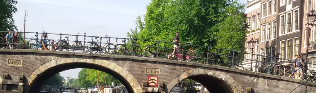
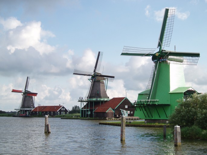
The opening shot of this blog is that of the colourful windmills of Zaanse Schans about which I shall talk later…
Continuing our tour of Netherlands, the next day we headed to Volendam…..
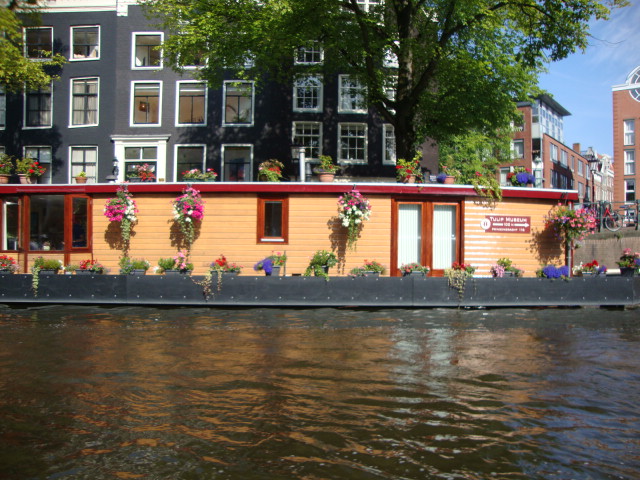
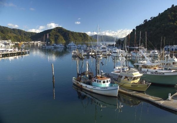
Volendam is a beautiful fishing village about 20 km from Amsterdam on the Markermeer lake. It has a beautiful marina and has now developed into an important tourist destination. It is known for rows of colourful wooden houses and old fishing boats in its harbour. Sea food restaurants and beer parlours add to the charm of the marina.
It once had direct access to the North sea which made it a natural choice for fishermen to settle. The locals are known to still use traditional dutch attire and have a flare for music.

The marina at Volendam with fishing boats

The beautiful houses with flower beds facing the marina

Another view of the Volendam Marina
Traditional Dutch attire is still used by some of the local residents. The high pointed bonnet of the dutch women’s attire is one of the most recognisable part of the traditional dutch clothing . It is often featured in postcards and pictures.
An important activity here is to get photographed in traditional dutch attire.

Traditional Dutch Attire
Cheese Factory
Netherlands is famous for its dairy products particularly cheese. Dairy products contribute a major chunk to their economy. We visited a cheese factory close to Volendam. Demonstrations on cheese making and tasting the various varieties of cheese was interesting indeed!
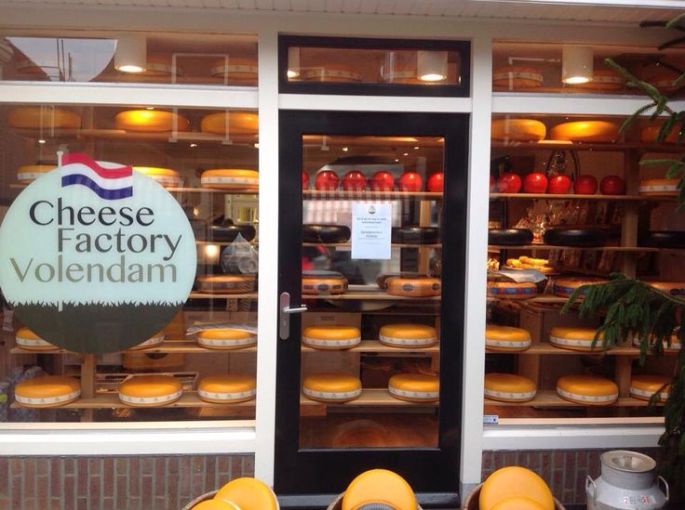
Cheese on display
Wooden shoes (Clogs):
Wooden shoes were used in Netherlands traditionally . Now it has been preserved as part of their culture. It is a very popular souvenir from Netherlands. We attended a shoe making demonstration where the worker deftly transformed a wooden piece into a shoe in about 10 mins. These shoes are very colourful and have beautiful paintings on them. In fact the coloured wooden shoes are iconic of Netherlands ….much like the windmills.

Wooden shoes

A huge clog model outside the factory
From Volendam, one can take a ferry ride to Marken when the entire extent of the beautiful houses and the marina can be enjoyed.
Our next destination was Zaanse Schans.
Zaanse Schans
As you all know, windmills are synonymous with Netherlands. At least some of you must have wondered how it did not feature in a blog on Netherlands! Well, I kept it for this place called Zaanse Schans where you can see a row of windmills by a stream.
This village of Zaanse Schans is best known for its collection of windmills and wooden houses that have been relocated here . It has developed into an important tourist destination mainly to see the windmills.
Around 600 windmills were constructed here in the 17th century, creating an industrial zone.When the blades of the windmill rotate due to wind,the equipment inside the building starts working and activities like wood sawing, powdering of grain etc take place. Once electricity was discovered and used widely, the windmills became non functional. But they were relocated and preserved. Even today, tourists can see functioning windmills here.
Zaanse schans is located close to a backwater and the windmills were used even for pumping water to and fro to maintain water levels. The actual process of reclaiming land from the backwaters can be seen here. Bunds were built and then the water inside was pumped out with the help of the wind mills. The trapped land dried up and was used for various purposes.
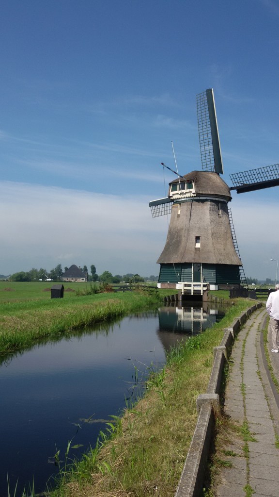
A traditional Windmill
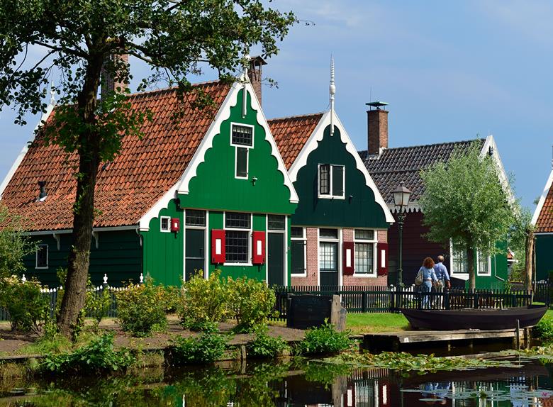
Beautiful houses in Zaanse Schans
And last but not the least…..
Keukenhof Tulip gardens
Keukenhof Tulip gardens are a must see in the Netherlands. Called the Garden of Europe, it is a sight to behold! Many of us may have seen this majestic garden in the Hindi movie “Silsila” where the melody “dekha ek khwab to ye silsile hue” was shot
Unfortunately we were not there during the Tulip season which runs April to mid May. We missed the majestic gardens.
Nearer home ,we have a beautiful Tulip garden at Srinagar in Kashmir which is not so famous and publicised. When I visited that, part of the remorse of not being able to visit Keukenhof was overcome! Though it is not as big and varied like the Dutch one, this garden is charming in its own way…
So let me share a picture of Tulips from our very own Srinagar….partly to motivate a few of you to visit this place…partly to compensate you for not featuring Keukenhof in a blog on Netherlands!!
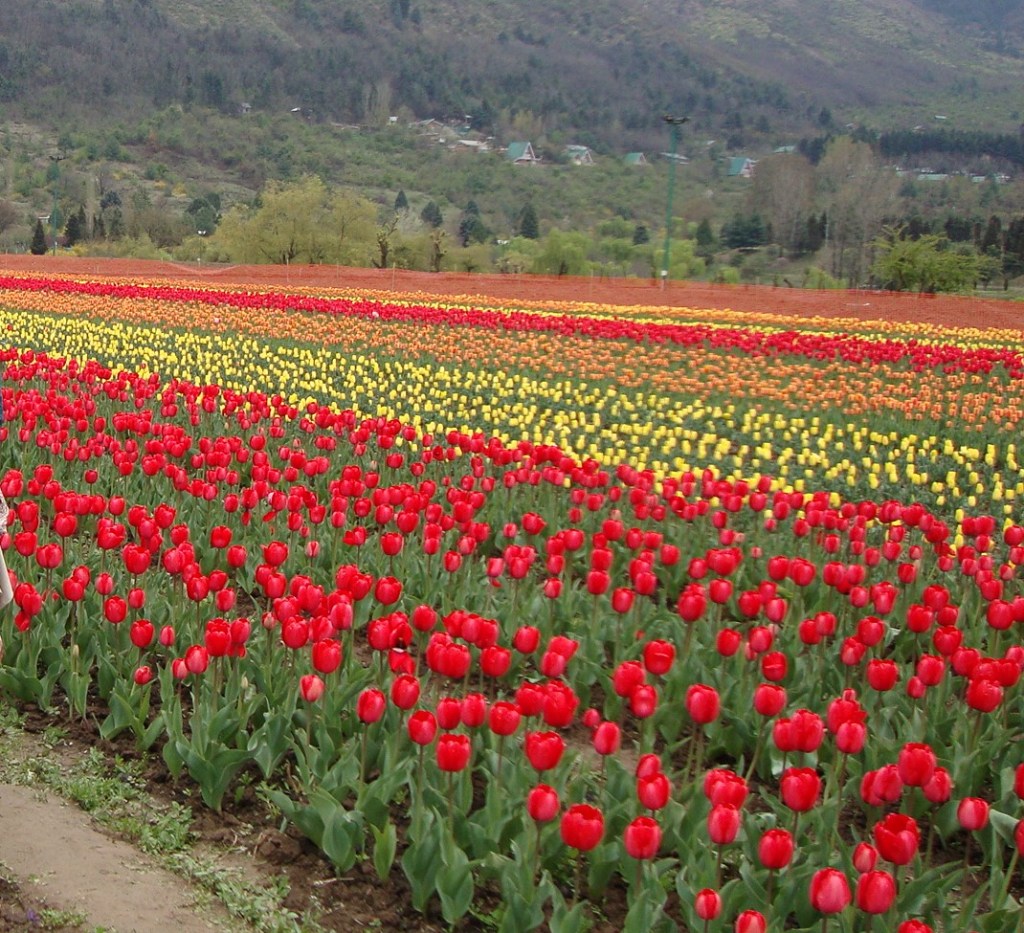
Tulip garden at Srinagar
Well, with this we bid farewell to the beautiful country of Netherlands and head to Germany. See you next week at Cologne…
Till then, do keep your comments coming and do subscribe below:
Do give your feedback!