This landmark temple located in Nara near Osaka is one of the seven great temples of Japan and an UNESCO world heritage site.
First founded in the Nara period (710 -784) at the behest of Emperor Shomu when Nara city was the capital of Japan ; it has undergone several reconstructions. On the verge of collapse due to its heavy roof, it was restored in the early 20th century and again reinforced with steel framework between 1974 and 1980.
Todaiji Temple serves both as a place of prayer for peace and affluence on earth as well as a centre for Buddhist doctrinal research. Over the centuries, it has produced many famous scholar priests. It is the head temple of the Kegon sect of Buddhism.
Daibutsuden or the Great Buddha Hall at Todaiji houses the world’s largest bronze statue of Buddha Vairocana known as Daibutsu in Japanese. Vairocana means one that shines throughout the world like the sun .
This was initially built with the contributions of 2.6 million people. Writings of monks of that time, mention about various structures in the complex including two pagodas, lecture hall, library and monk’s quarters. At that time Todaiji was also a center of learning apart from worship.
The Great Buddha Hall has been rebuilt twice after fire and is actually slightly smaller than the original version and was the world’s largest wooden building till 1998 .The bronze Buddha has also been recast due to earthquake damage.
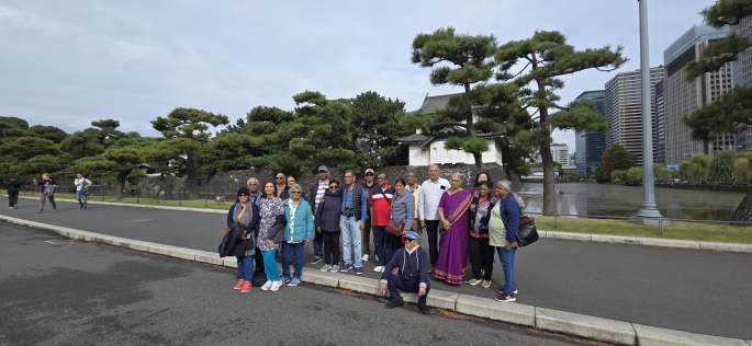
Our Visit
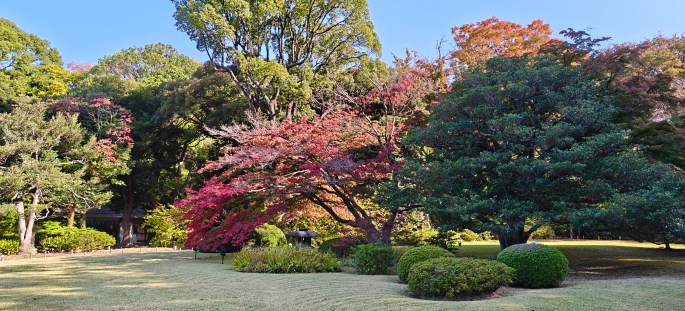
The Todaiji temple is part of a huge complex with landscaped gardens and multiple buildings including a library, museum and other structures. Deer roam around freely in the complex waiting to be fed . The Nara deer park also lies within the complex.
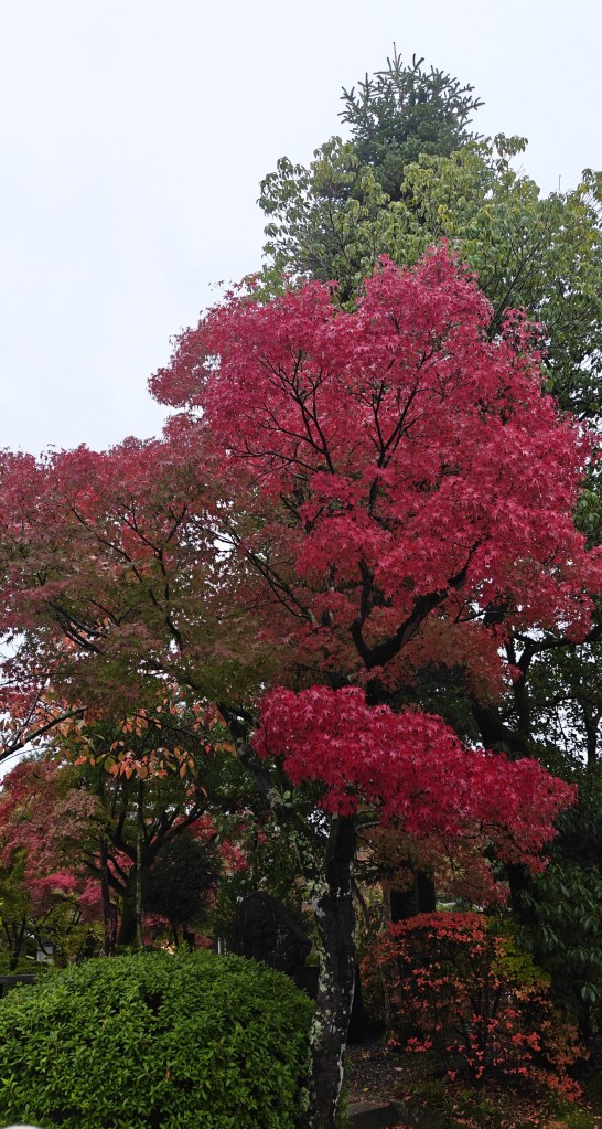
Beautifully landscaped gardens and ponds with deer roaming around receive you as you reach the complex.
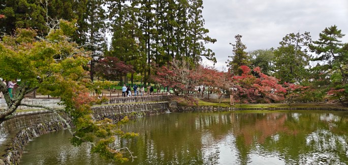
Beautifully landscaped gardens
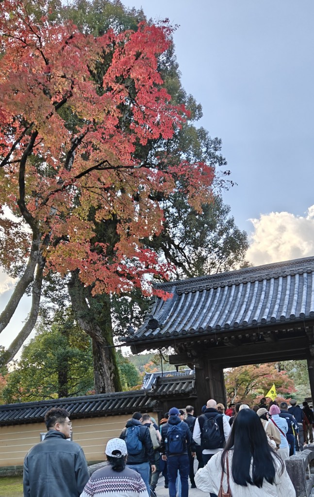
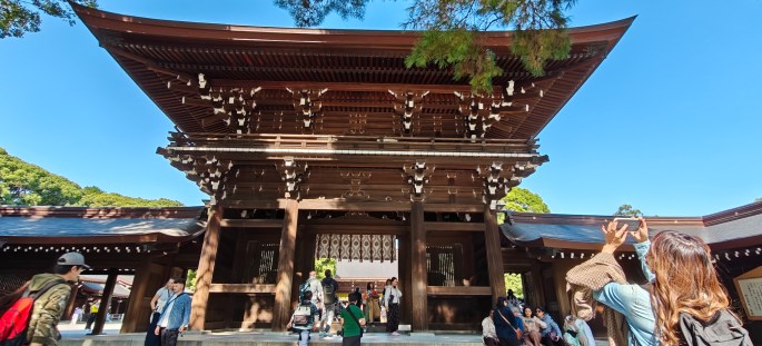
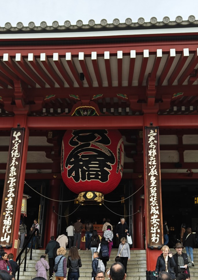
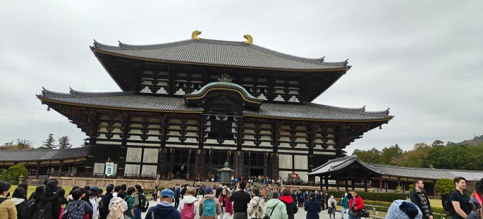
Along the approach to Todaiji temple is the Nandaimon Gate or the Great South Gate, the largest temple gate in Japan.
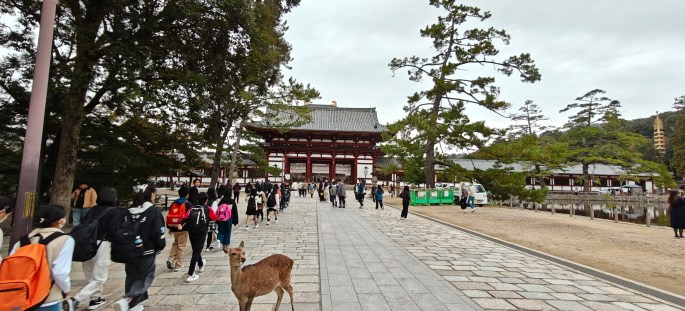
First views of the temple. Note the cute deer in the foreground
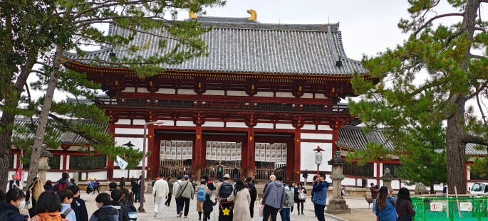
The Nandaimon Gate
As you enter the gate, two guardians made of wood stand on either side.
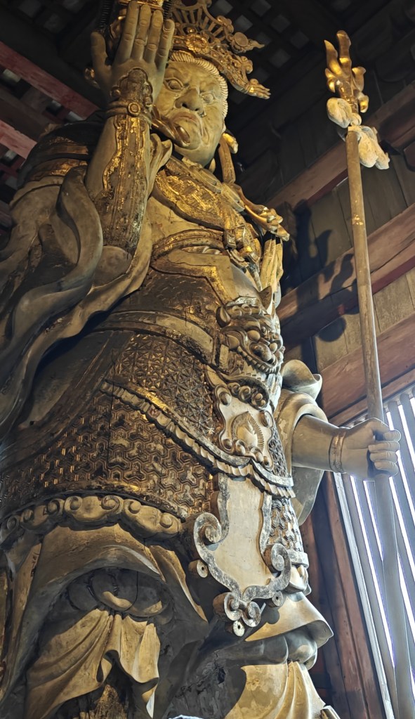
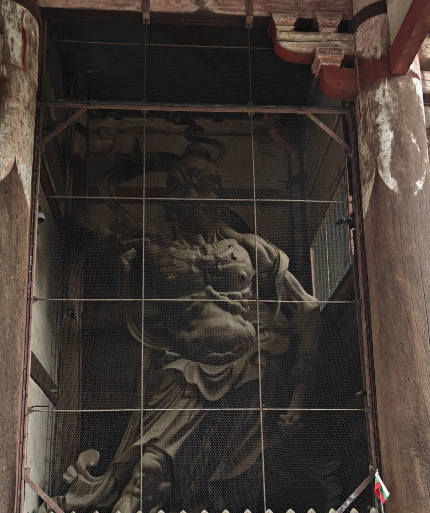
The guardians.
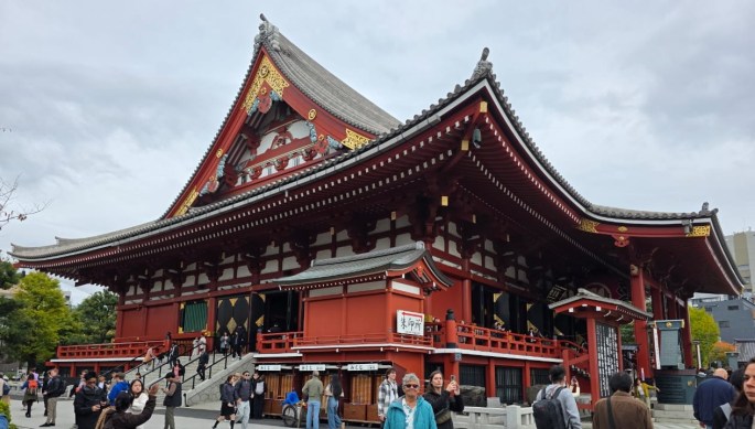
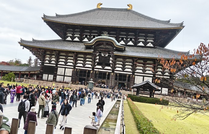
Once you cross this gate, you enter another courtyard which leads to the Daibutsuden or The Great Buddha Hall.
Daibutsuden (The Great Buddha Hall)
This structure is amazing both by its size and architecture and houses the world’s largest Buddha, Daibutsu . Till 1998 , this hall was the largest wooden structure in the world measuring 57 mt long, 50 mts wide and 47 mts high.
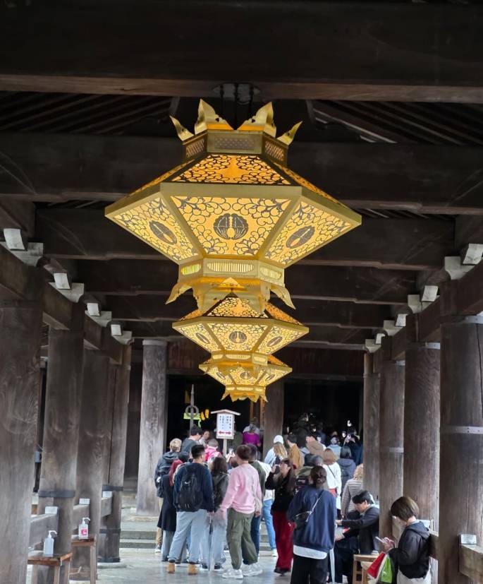
In front of the Daibutsuden is an octagonal bronze lantern. The interesting feature of this lantern is the image of Krishna playing the flute. In ancient times, Indian mythology was integrated into Japanese Buddhism especially in the Nara period and this lantern stands as a testimony to that.
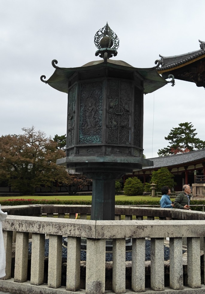
The octagonal bronze lantern. (zoom to watch Krishna playing the flute)
The passage leading to the Diabutsoden and the octagonal lantern in front
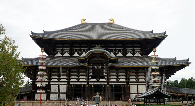
The imposing Daibutsuden
The wooden framework and doors are massive and awe inspiring. I felt a certain similarity to the pattern and decorations in the ancient temples in Kerala but at a much more massive scale.
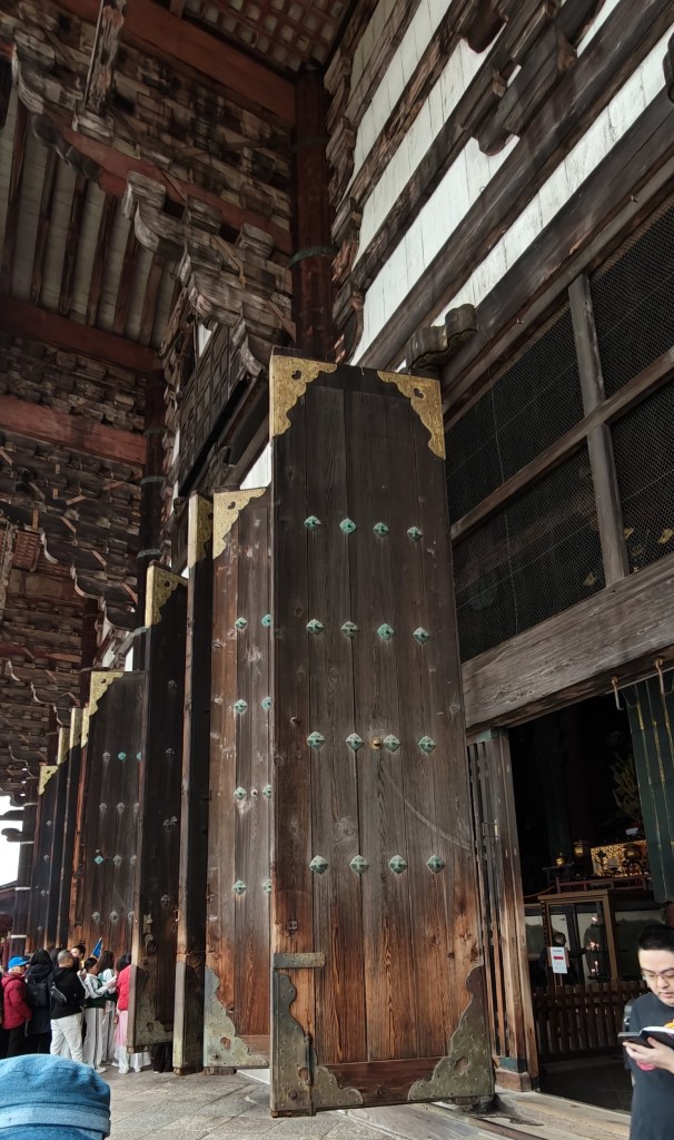
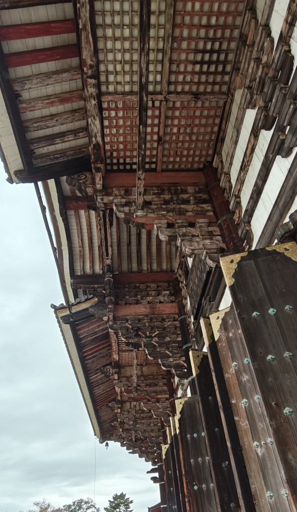
The huge doors and undersurface of the ceiling resembling Kerala temple architecture
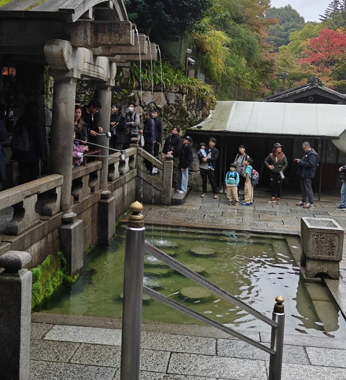
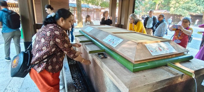
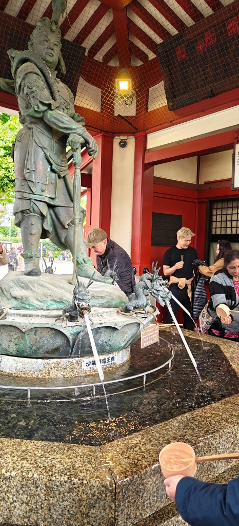
In many temples across Japan, a purification process is done just before entering the temple. A water source and ladles are provided to wash your hands and lips.
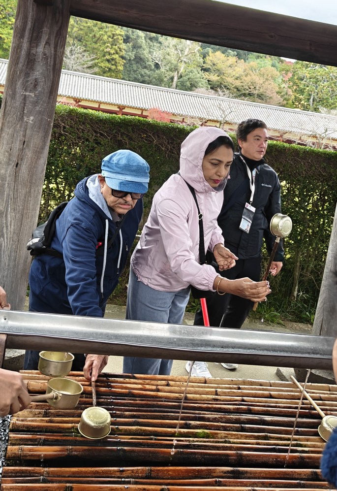
Hand washing
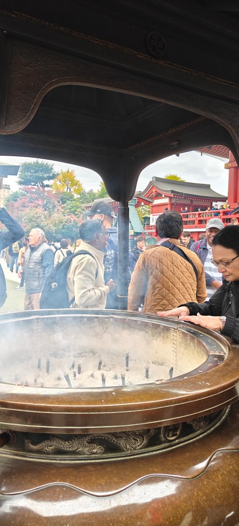
Burning of incense and inhaling the fumes is another practice seen in many temples in Japan.
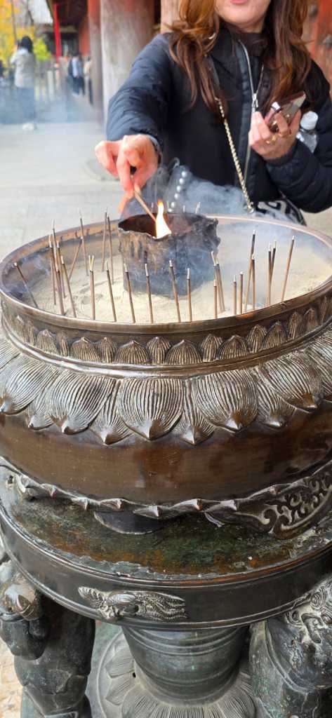
Burning of incense
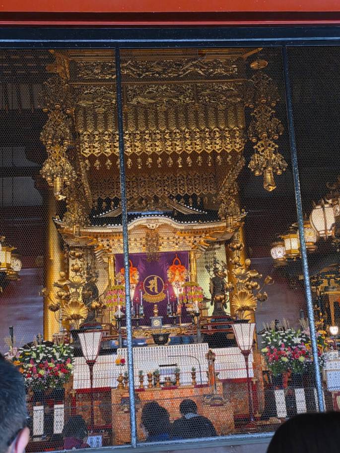
As you enter this hall ; straight ahead is the bronze Buddha Vairocana , the largest Buddha in the world. This statue weighing 500 tonnes is 15 mts high and 28 mts across the shoulders. There are 16 small Buddhas adorning the halo around.
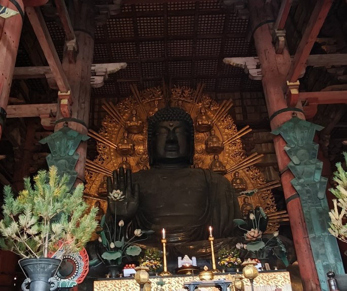
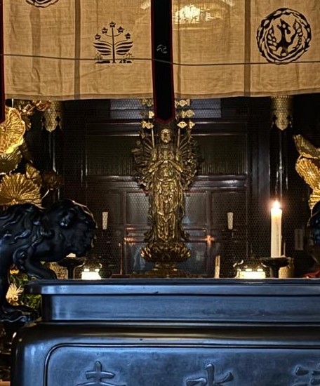
Buddha Vairocana
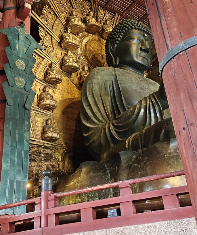
Side view highlighting the posture on lotus with 8 small Buddhas on one side
X rays have shown a human tooth, pearls, swords and jewels inside the knee of the statue believed to belong to Emperor Shomu. It was Emperor Shomu who built the original temple in the 8th century.
The lotus pedestal is of great religious significance as described in the board alongside.
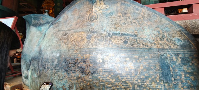
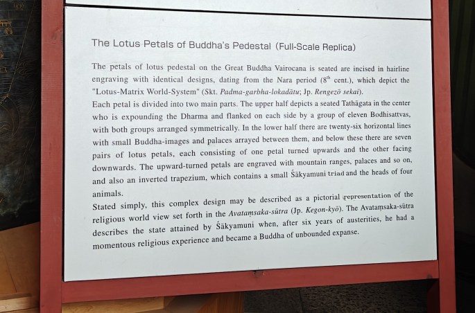
The details of the lotus pedestal with explanation of its significance
On either side of Daibutsu are two Bodhisattvas made of wood and painted in golden colour
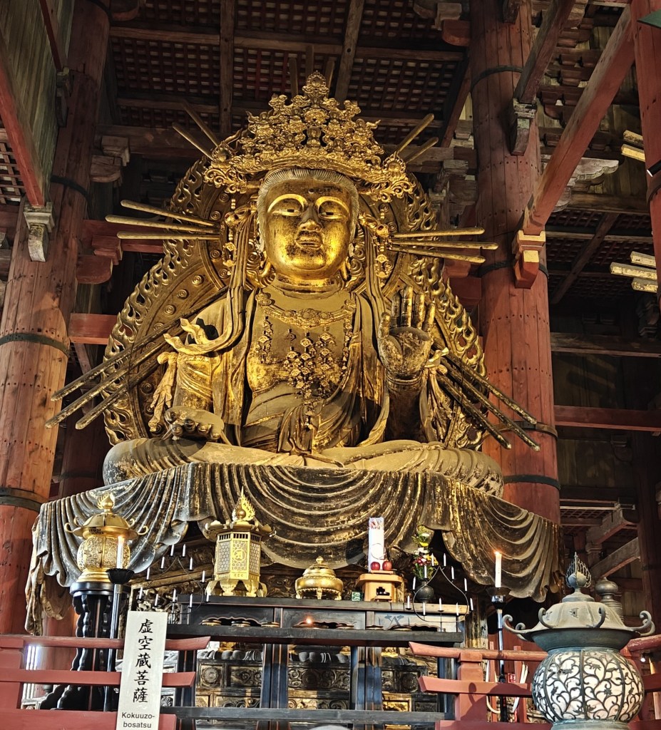
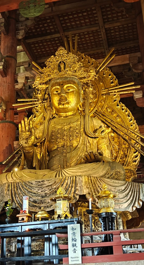
The Bodhisattvas.
The back side of the Bodhisattva statues are also ornate.
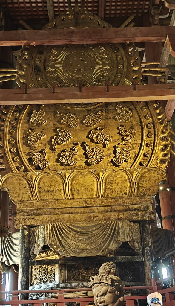
The ornate back side of the Bodhisattvas
Huge wooden pillars are seen inside the hall and one of them has a hole believed to be the size of the nostril of Buddha. Crawling through that is believed to fulfill our wishes.

Massive wooden pillars.
As one does a circumambulation, one comes across a miniature model of the old temple rebuilt during various dynasties. The two pagodas on either side in the original temple are seen in this miniature.
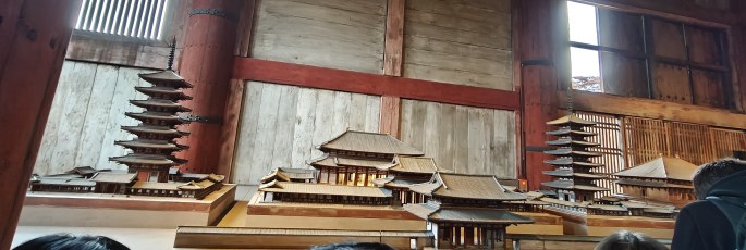
The miniature model with the original pagodas.
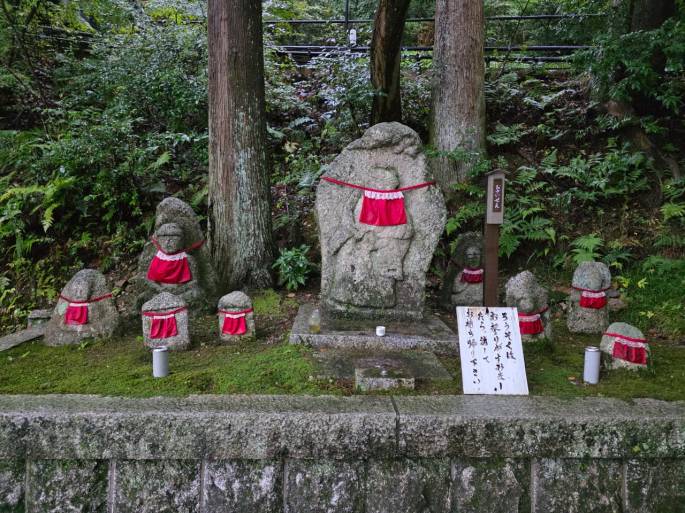
Just outside the temple is located a wooden statue of the healer Binzuru. Touching the part of our body having a problem and then touching the same part of the statue is believed to have healing effects.
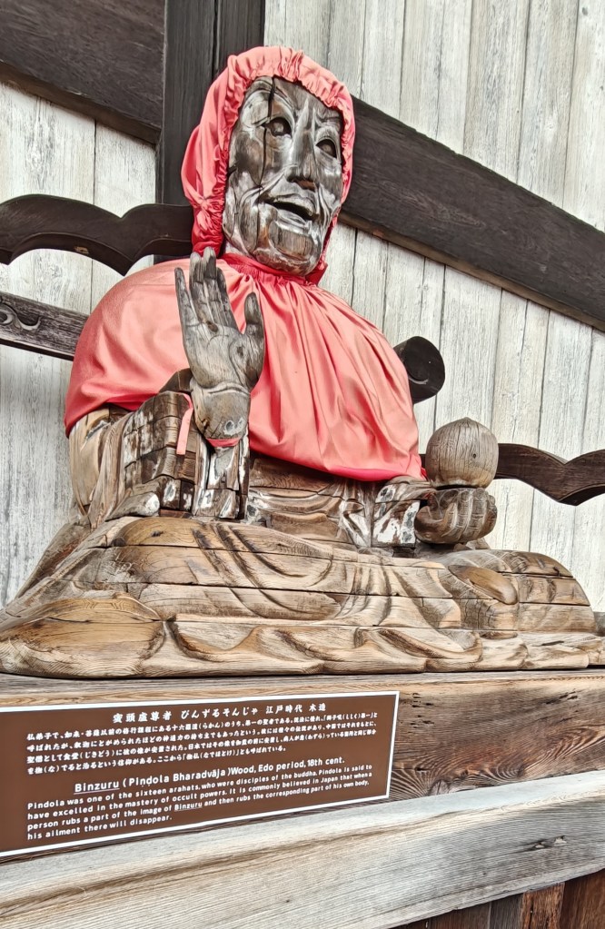
Healer…Binzuru
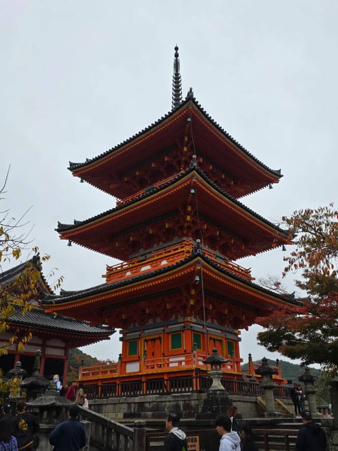
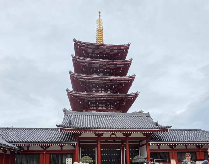
Another interesting structure in the complex is a the gold coloured spire known as Sorin. This is actually a wooden seven story pagoda with a metal Sorin ornament on top. This structure is at the site of one of the two original pagodas in the complex that were destroyed.
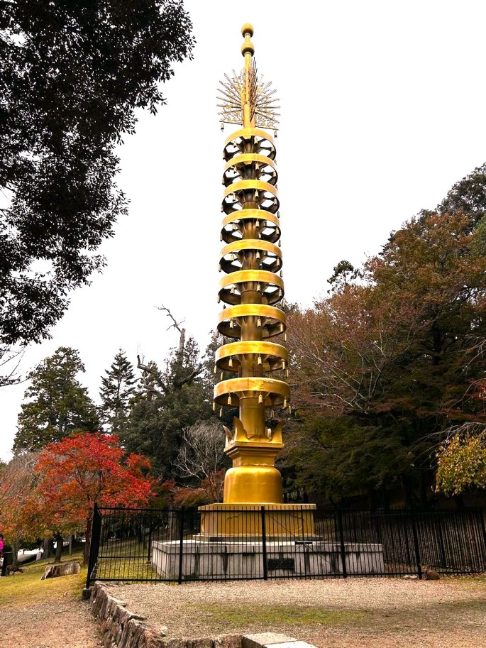
The spire called Sorin
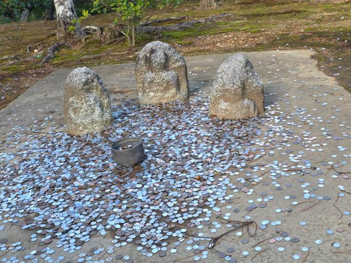
One can have one’s name engraved on the roof of this temple by making donations here. When the tiles are replaced, the names are engraved.
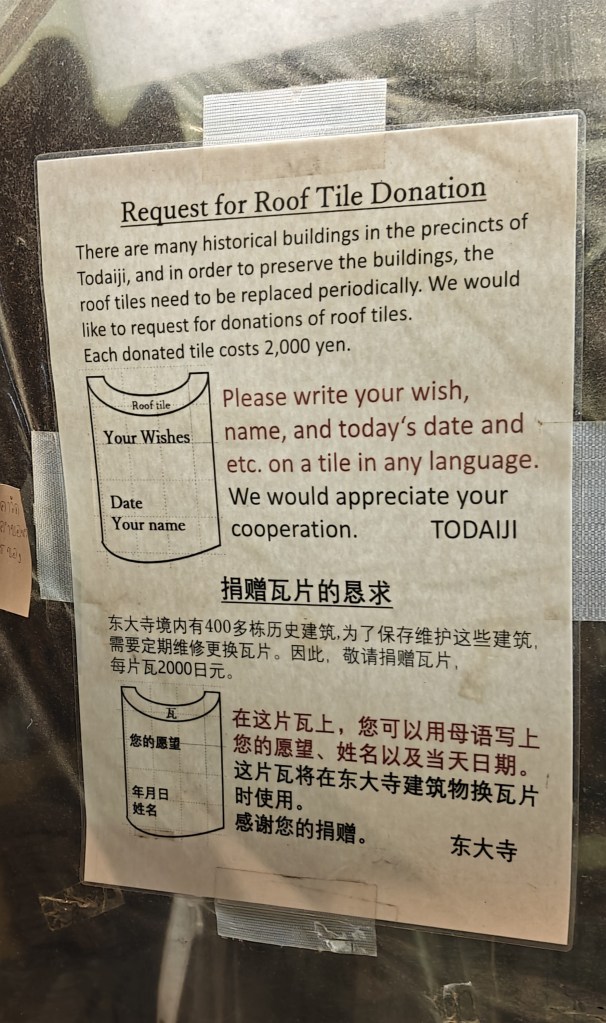
Donation counter for name inscription on tile
After this interesting visit to the Todaiji temple, we visited the Nara deer park which lies adjacent to the temple.
Wild deer called sika deer roam freely within the complex. There are rice crackers available which we can buy and feed the deer. They nod their heads in appreciation.
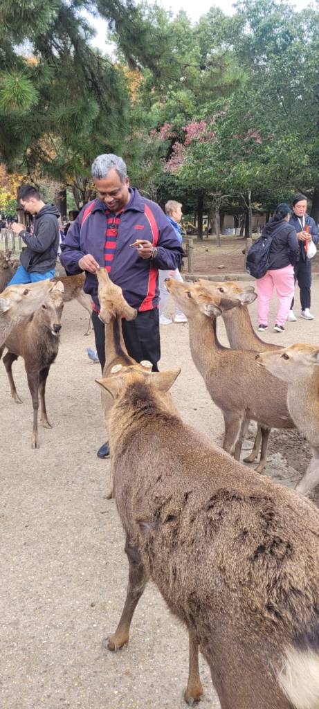
Feeding deer at Nara deer park
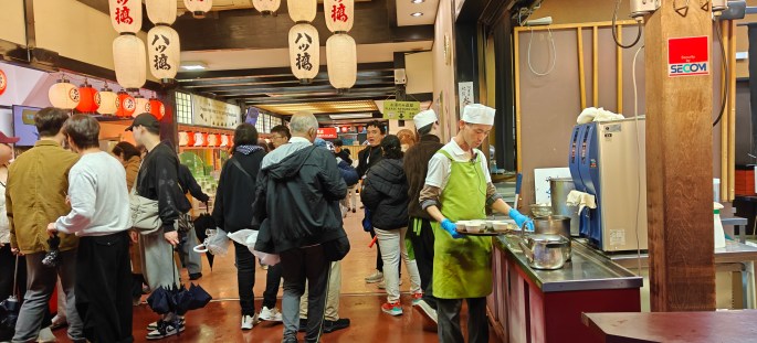
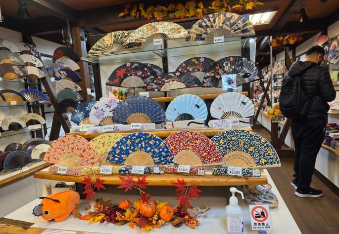
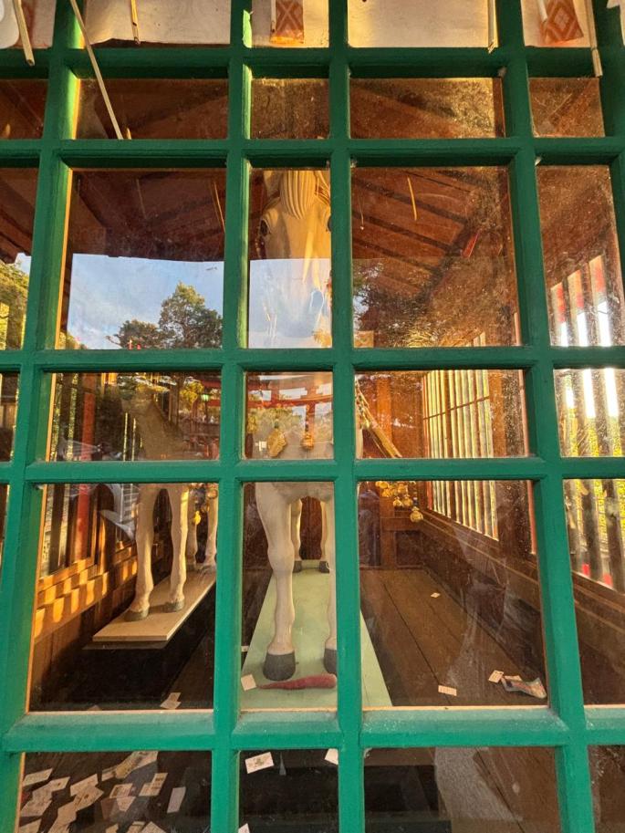
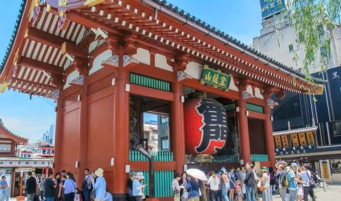
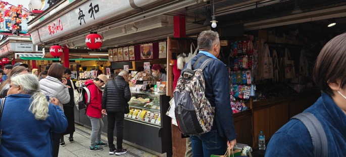
As we left the complex, many souvenir shops were seen along the walkway.
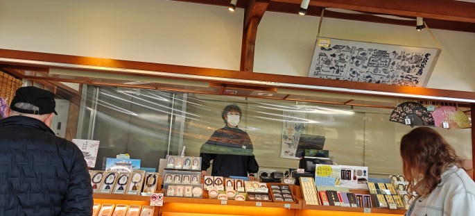
Souvenir shops
Todaiji was perhaps the biggest and most fascinating temple that we visited in Japan.
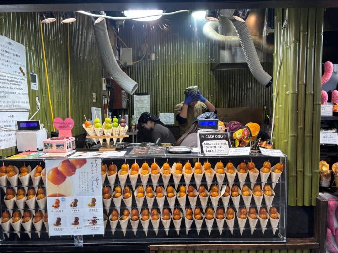
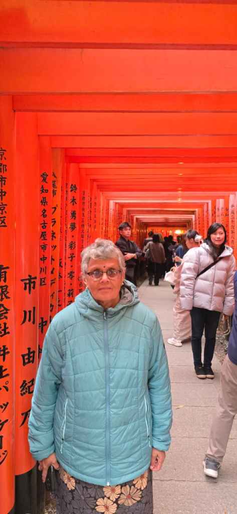
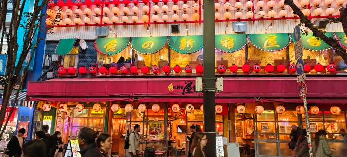
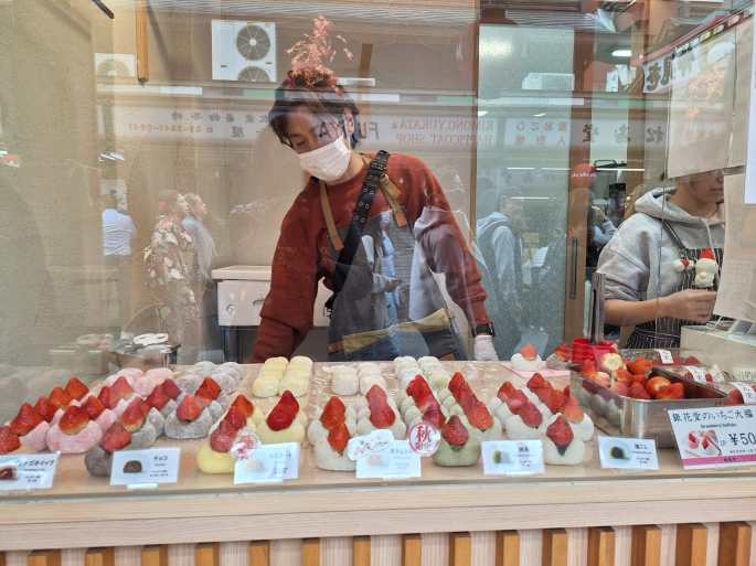
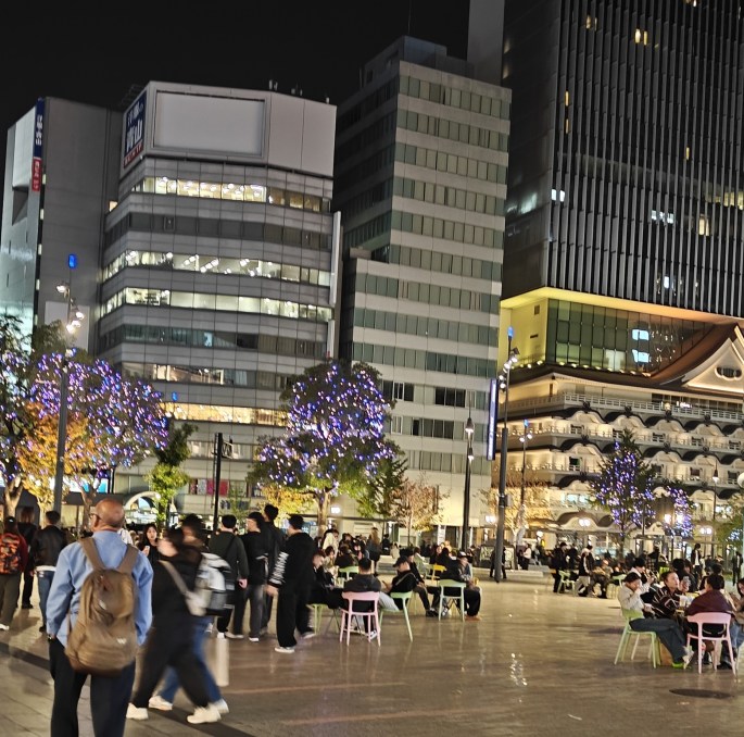
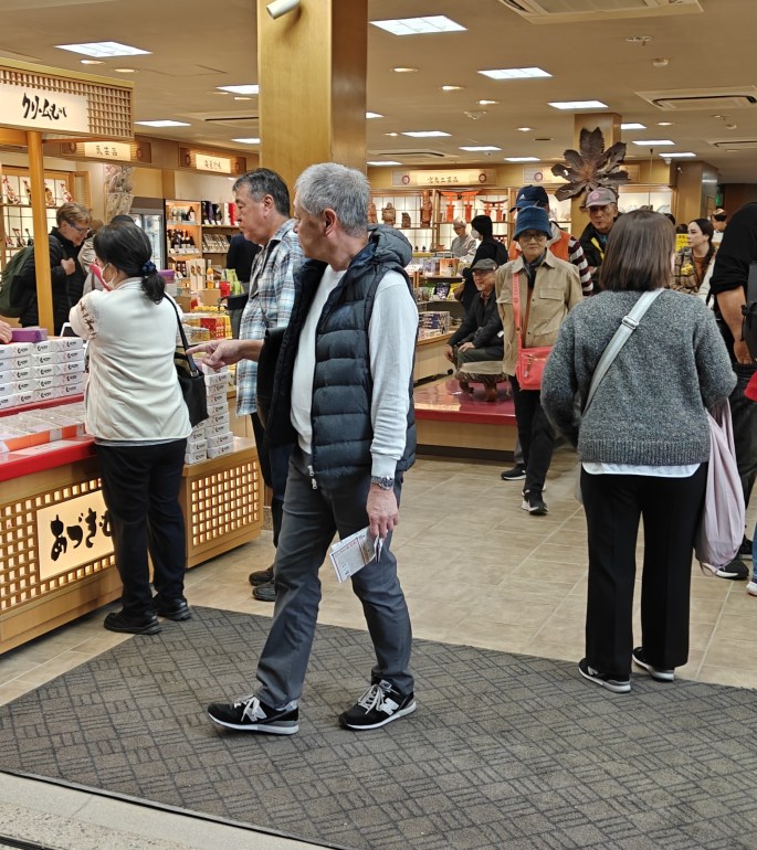
We were at the fag end of our Japan sojourn and everyone wanted to see what they can get back home from this great country. We spent an evening at the shopping street of Dotonbori and Shinshibashi.
Some pictures from the shopping experience before we wrap up the Japan series.
That brings us to the end of the series on Japan.
Till then, do subscribe, like and comment.