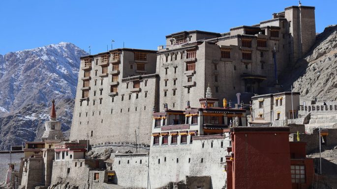

This episode is particularly dear to me as it highlights the Army museum in Leh . Known as the Hall of Fame, it stands as a memorial to the soldiers who laid down their lives for our country. A walk through this museum and its environs makes one’s hair stand on edge.
Take a look…
Exhibits of tanks and heavy artillery adorn the area around the entrance to the museum.
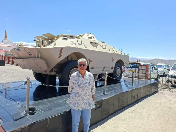
One of the exhibits displayed near the entrance to the museum
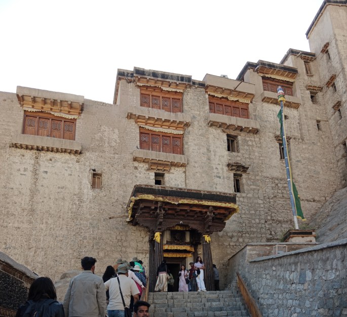
Hall of Fame
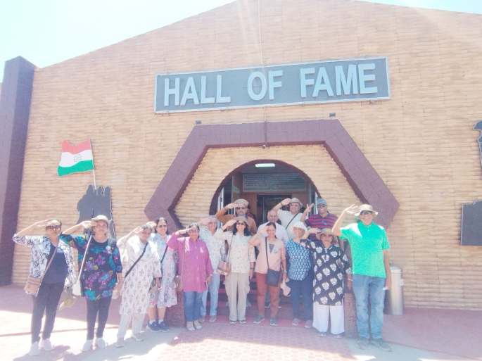
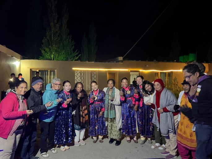
Our group salutes the real heroes of our country
A feeling of patriotism grips one as we enter this divine place with exhibits divided into various sections.
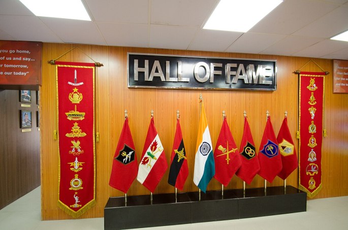
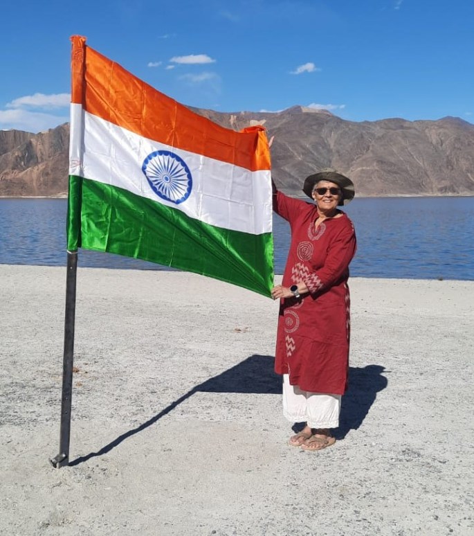
The tricolor with some of the regimental flags
One of the soldiers described his experiences during war and the difficulties of daily life in high altitudes like the Siachen glacier. His power packed narrative left most people teary eyed and made us all feel proud of our soldiers and our country.
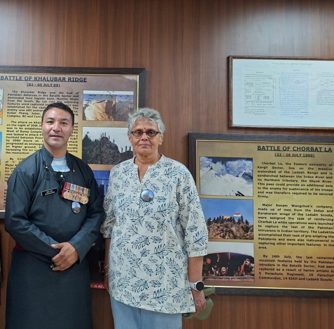
A proud moment with the valiant Siachen hero
Photographic depictions of the Kargil war with particular focus on strategic victories that led to a win are also displayed here.
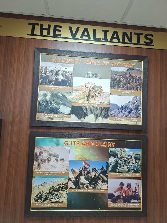
Proud moments from Kargil
One section displaying various kinds of arms, ammunition, artillery, clothing , high altitude combat equipment , life saving devices and various important artefacts, acts as an eye opener to the common man.
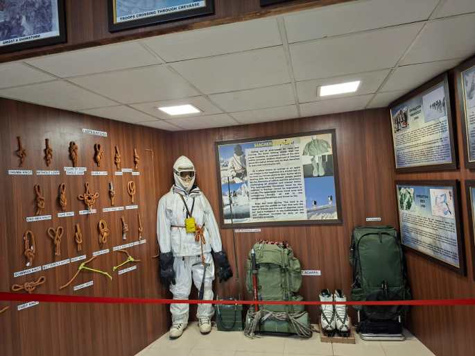
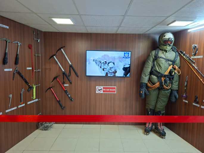
Climbing equipment used in high altitudes like the Siachen glacier
A section aptly names “Lest We Forget” has the pictures of valiant soldiers who laid down their lives fighting the enemy along with a short description of the circumstances of their supreme sacrifice.
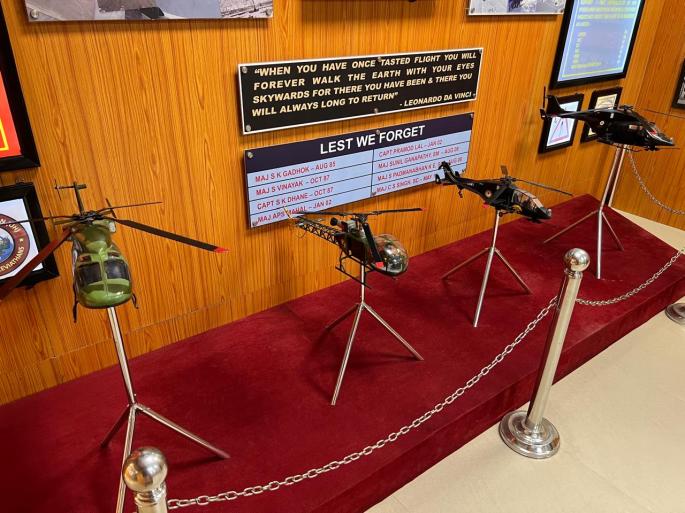
Lest We Forget
A particularly touching exhibit is “The Last Post”; a letter written by Capt Vijayant Thapar to his father a few days before his martyrdom. As we read the letter, tears will well up unknowingly in our eyes. It is so touching that we start feeling so small in front of the brave soldiers.
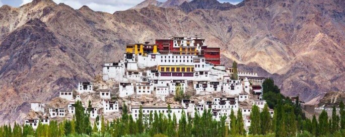
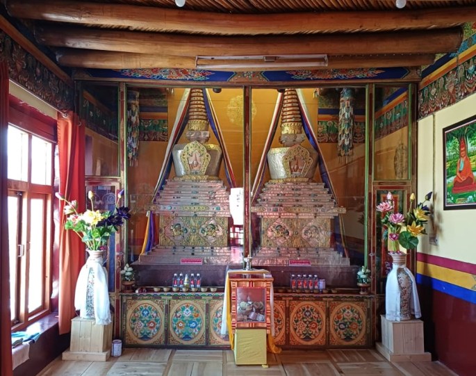
Ladakh Gallery
In addition to this is a gallery where traditional Ladakhi life is depicted.
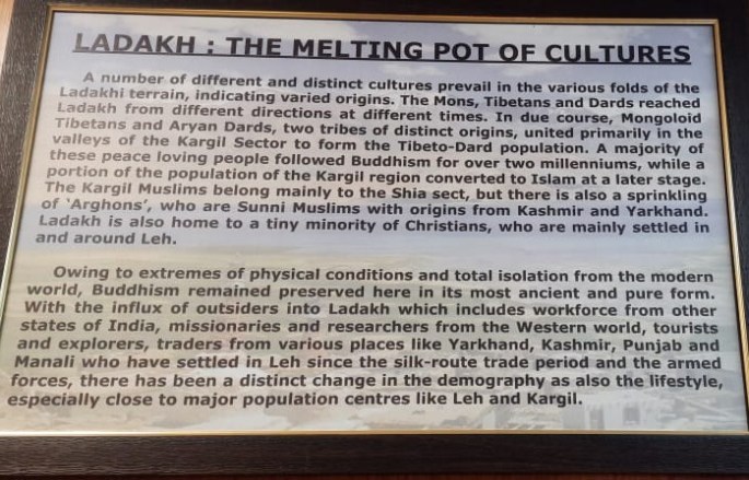
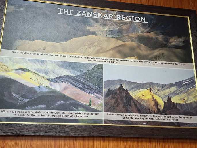
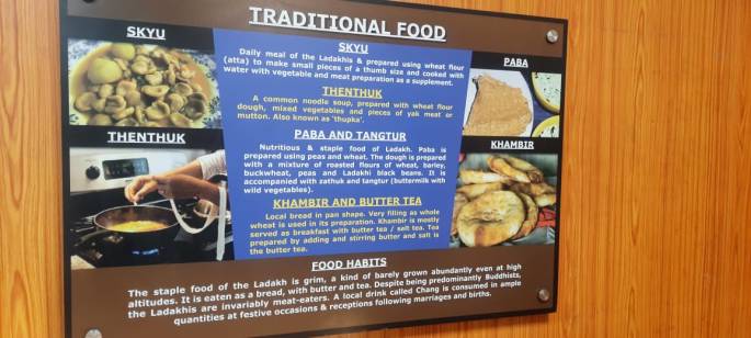
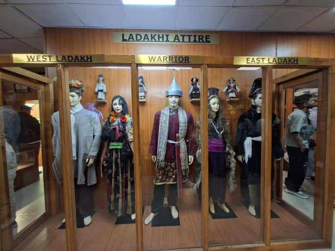
Some exhibits from the Ladakh gallery
After visiting the museum, we had more insight into the difficulties of our defence personnel and we all felt indebted to them for the service they do to keep us all safe.
It was with a feeling of respect and patriotism that we left from the museum.
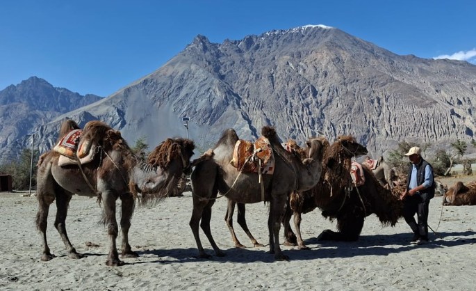
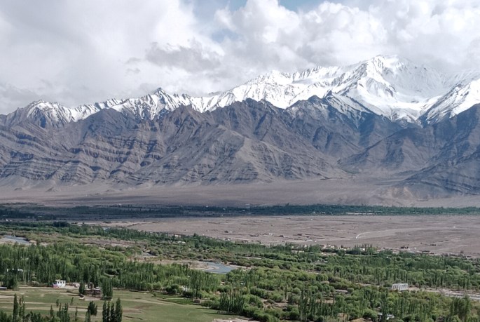
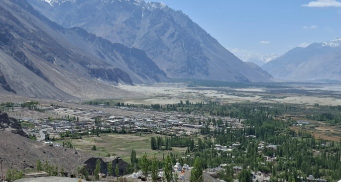
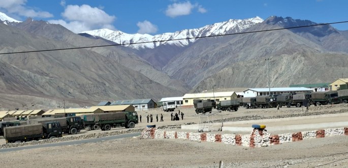
Throughout our stay at Ladakh, there were innumerable examples of the great, tireless and dedicated work done by our defence services.
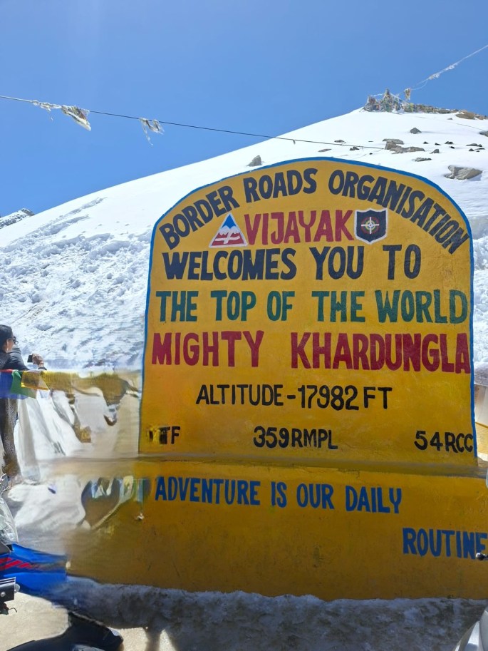
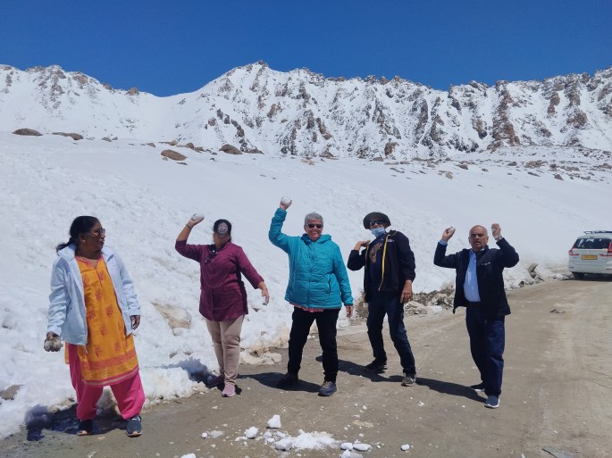
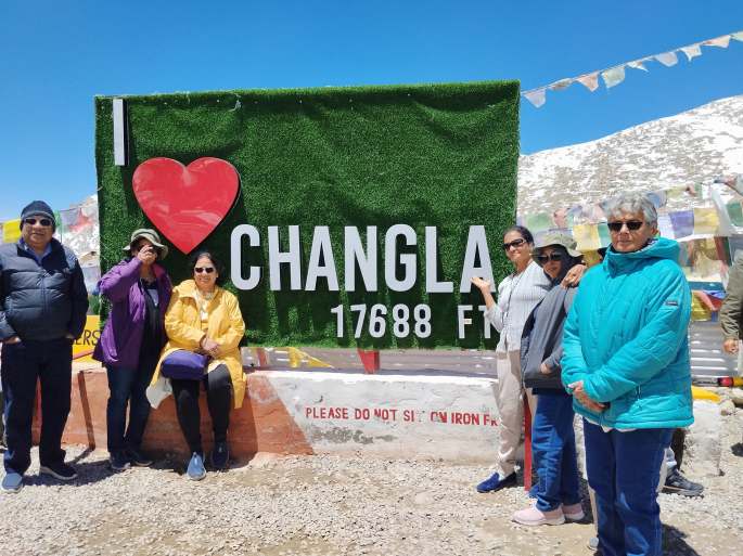
Both at Khardungla and Changla passes, the strict and vigilant presence of defence personnel gave us a sense of safety and protection in the border areas.

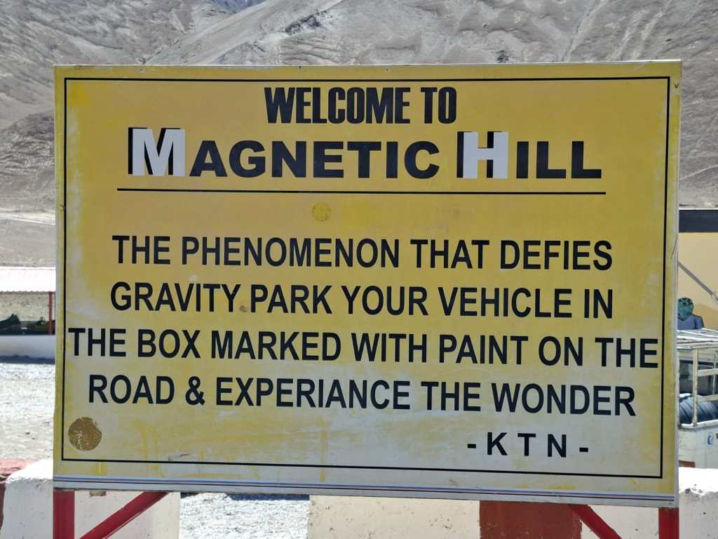
A satirical comment with a deep meaning

The tagline says it all
Rescue and Disaster management
Though fortunately during our stay we did not have to witness this aspect of their work, we are well aware of the tremendous work they do when natural calamities strike. Ladakh with its unique landscape and ecosystem is particularly prone to these situations.
Other Services
Apart from the three main services, various ancillary services also do a difficult job at these difficult locations.
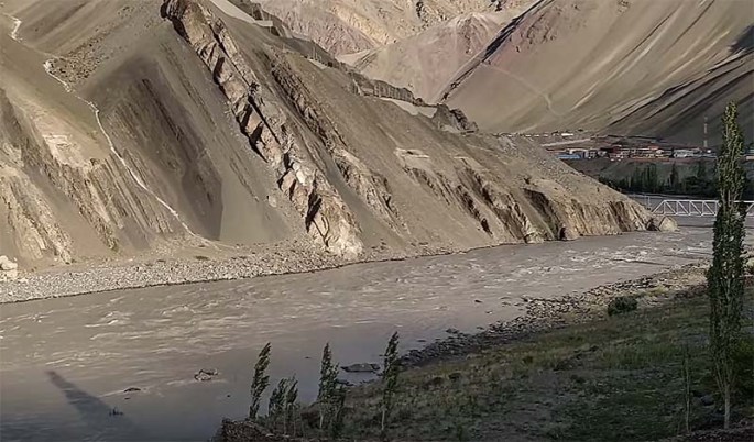
The BRO (Border Roads Organisation) does untiring work to keep the roads on these mountains in usable condition. Laying of roads connecting various remote locations and maintaining them under difficult climatic conditions is a challenging job indeed. By doing this, they ensure unhindered movement of troops and supply of essential materials besides making tourist access easier. All over Ladakh we find heavy duty equipment constantly working on the difficult terrain.
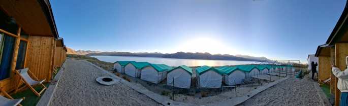
The temporary accommodation for the workers

Heavy equipment at work in difficult terrain
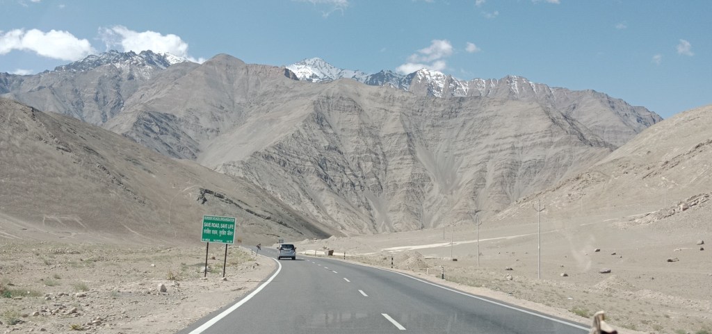
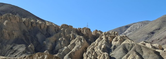
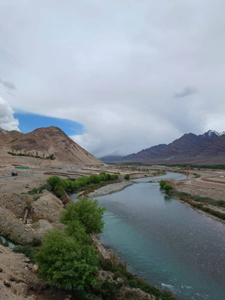
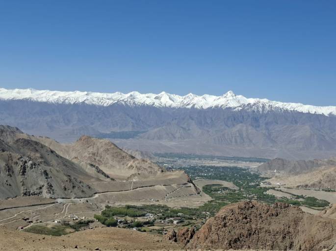
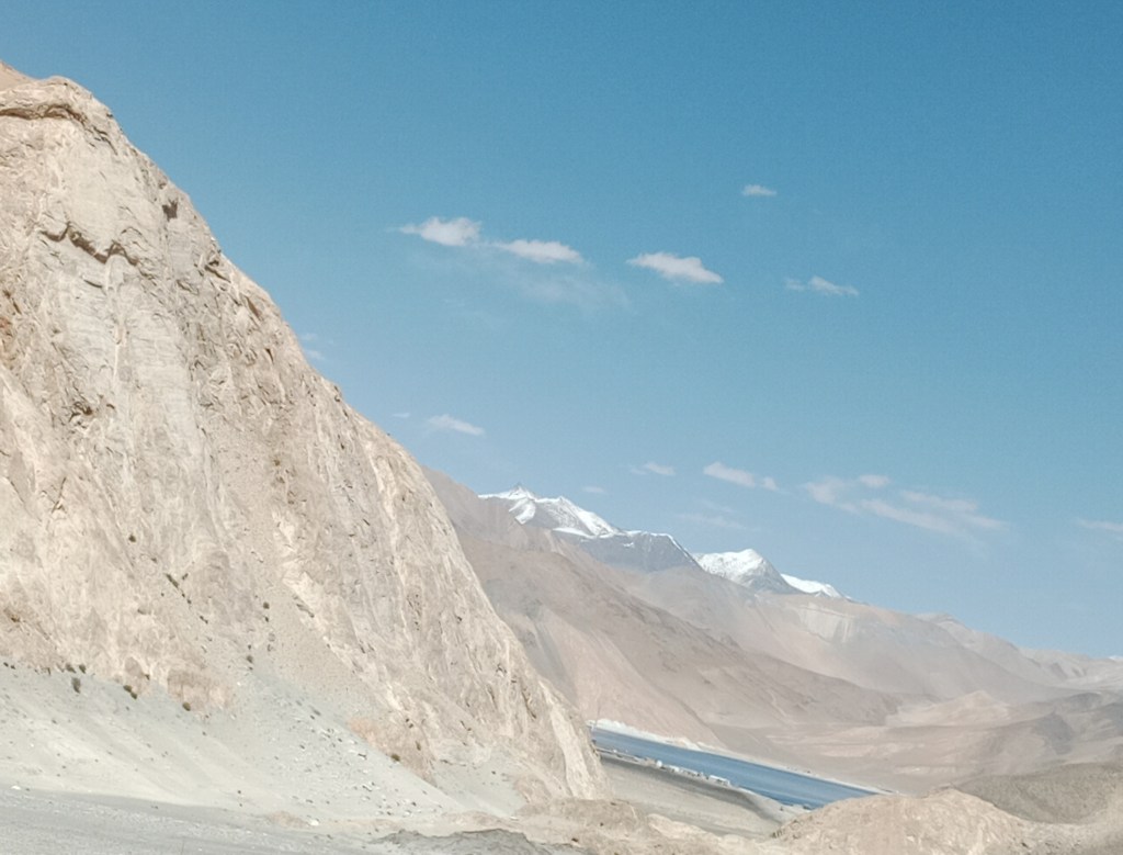
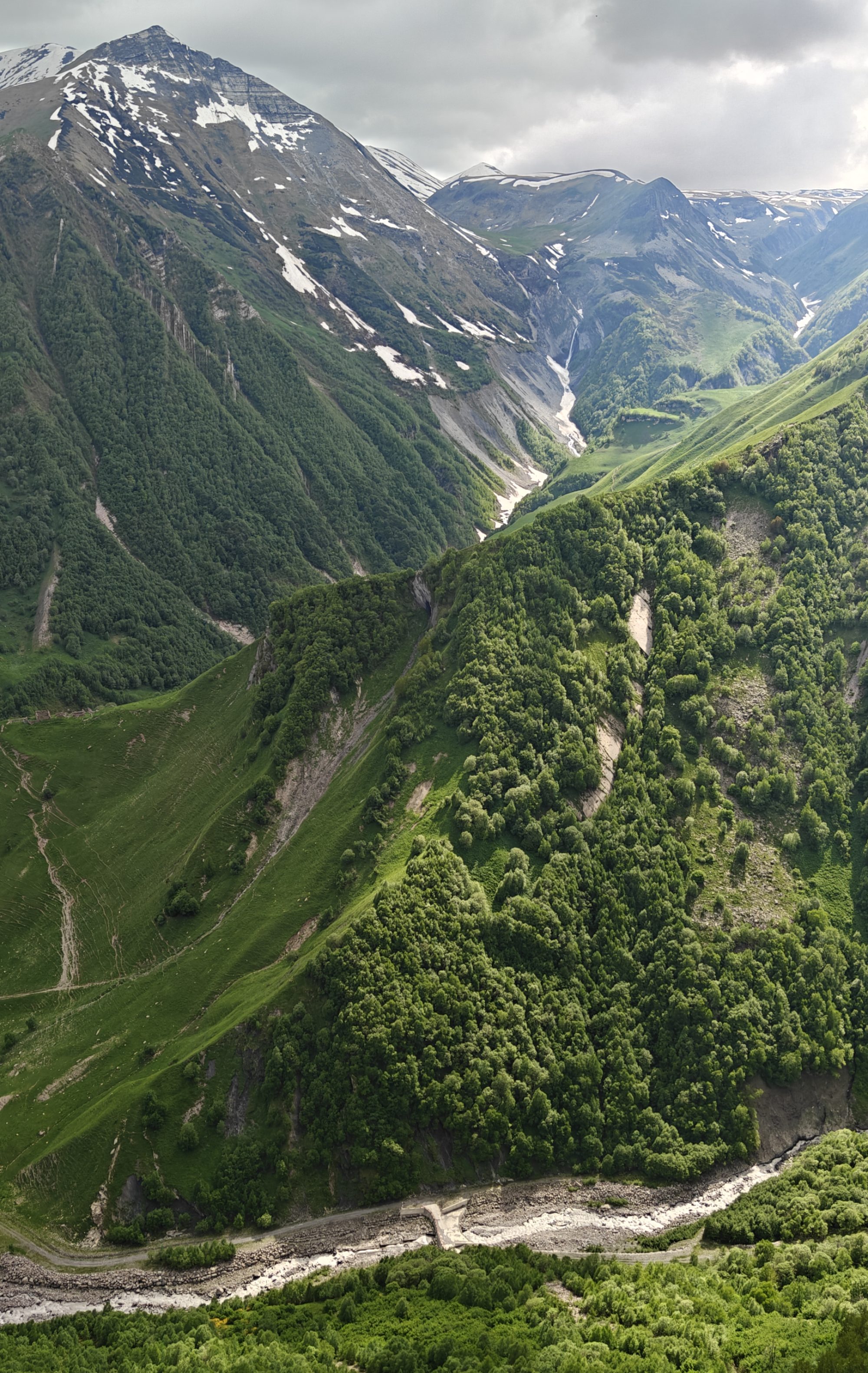
A view of the tortuous roads in the area….
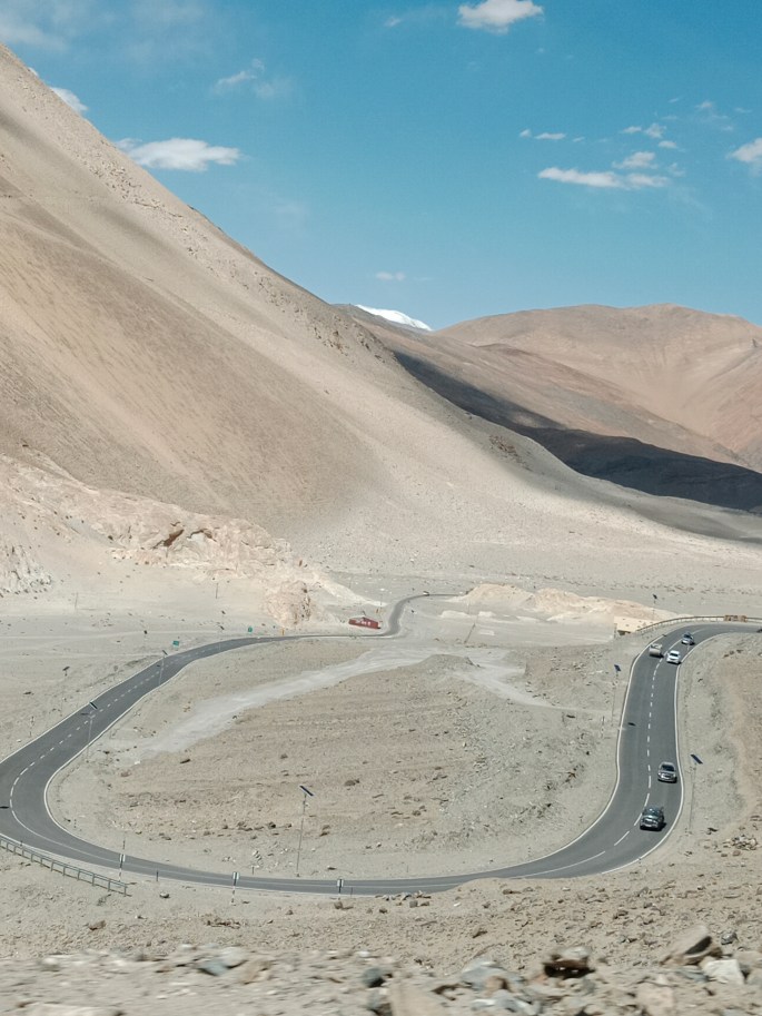
Do we think of the hands behind this difficult work as we ride here??
And all this work is done at high altitudes where we people cannot stand for more than a few minutes due to low oxygen !!!
Sitting in the comfort of our homes miles away from these border areas it does not occur to us that these men in uniform do such challenging jobs. When we visit places like Ladakh, we become aware of this .
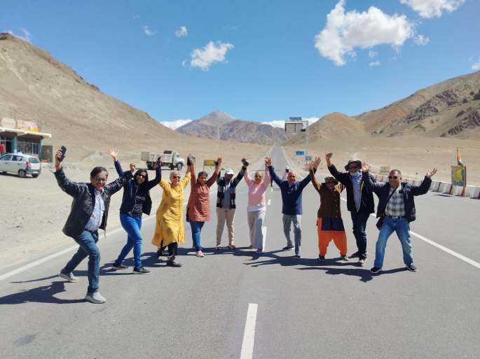
It was with a patriotic spirit and tremendous respect for these valiant men that we left Ladakh.
On this high note, the series on Ladakh comes to an end. See you next week at…Japan. The series on Japan starts with an episode on Tokyo….
Till then, do subscribe, like and comment…