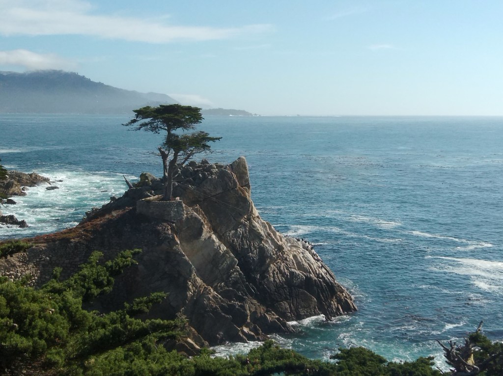
A day that we were excitedly looking forward to….the trip to Key West. Key West is the most popular of the archipelago of islands called Florida Keys
.
A brief summary about the Florida Keys:
“Key” is derived from the Spanish word cayo, meaning small island
The Florida Keys are a string of tropical islands off the southern tip of Florida between the Atlantic ocean and the Gulf of Mexico. These islands are linked by the Florida Keys Overseas Highway which is rightly called The Highway that goes to Sea. The drive from Miami to Key West takes 4 hours and crosses over 42 bridges ; the longest bridge being 11 km long. The water surrounding this highway has shallow flat lands, mangroves and coral reefs. The drive to the Keys is indeed mesmerizing with a straight road ahead of you with water on either side for the major part.
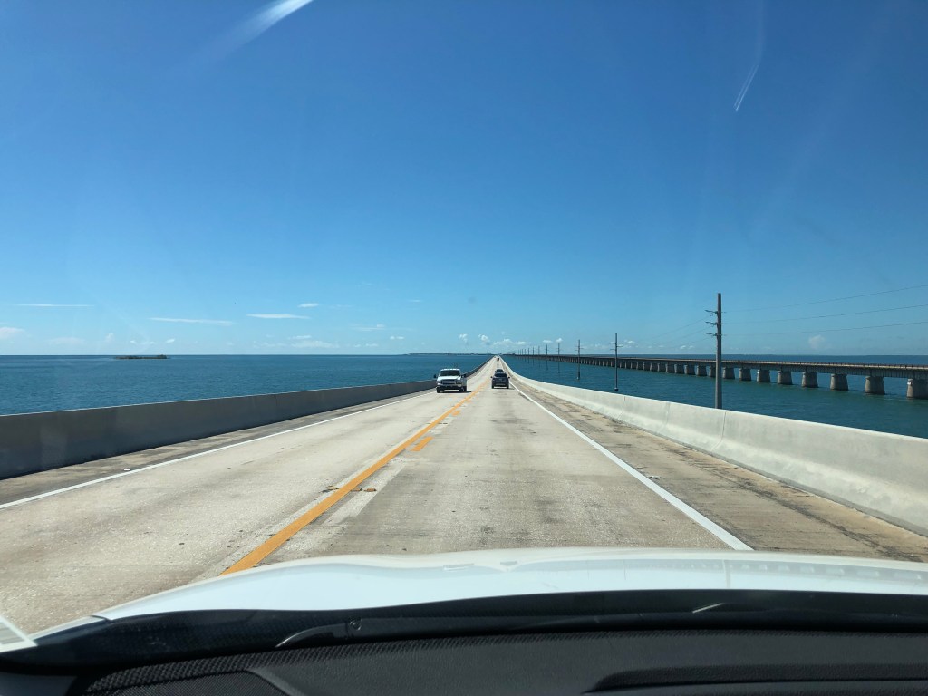
The Highway that goes to Sea
Initially, the Keys were accessible only by water. A railway link was subsequently developed but was disrupted due to repeated hurricanes. Following this, the rail road bridges were converted into automobile roadways.
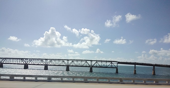
The Old railroad bridge that was destroyed by the hurricane
The keys are divided into 5 main regions..Key Largo, Islamorada, Marathon, Big Pine and Lower keys and Key West.
Key Largo is the largest and it is home to living coral formations.The Coral Reef State Park located here is the first Underwater state park. Glass bottomed boats, snorkeling, scuba diving and other coral reef viewing activities are available here.
The keys are home to a variety of plant and animal life particularly a variety of deer and is a refuge for the great white heron. The Everglades National park encompasses many of the keys and is home to turtles, alligators and manatee.
Key West
Key West, the southern most Key is the most popular and is just 90 miles from the Cuban coast.
Our Trip
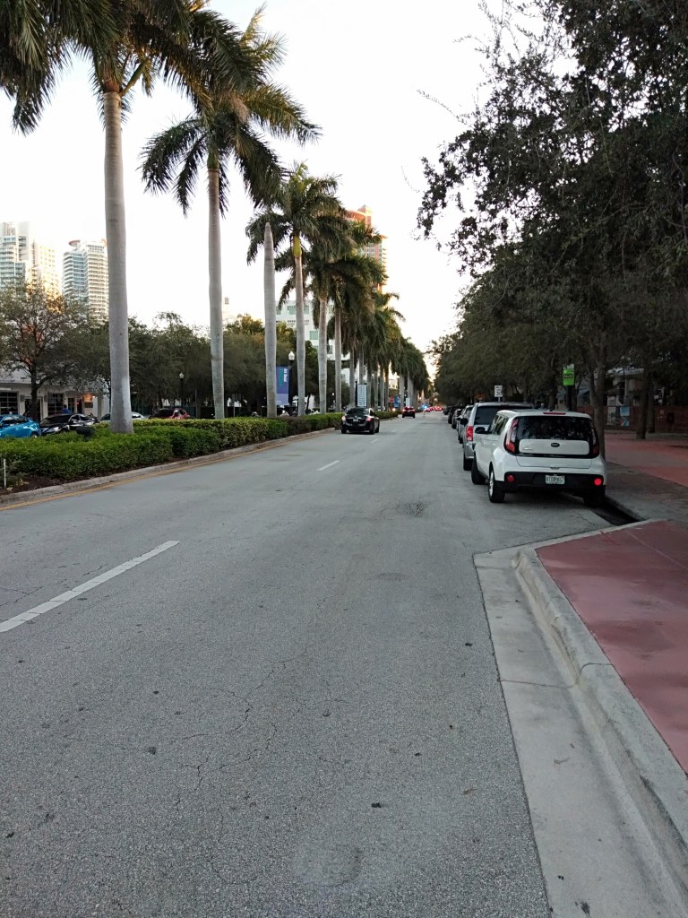
The Key West Express Bus picked us up from our hotel in Biscayne Boulevard (Miami) and soon we were on the way to the Keys. The drive to the keys is really beautiful with water on either side of the road and crossing multiple bridges. The landscape includes a mixture of shallow flat lands, mangroves and well developed tourist resorts on both sides. As we approach the main Keys, there are lots of restaurants, hotels and resorts along the road.

View from the highway of some of the resorts as we drove by
After 4 hours of this beautiful drive on the highway to sea, we were dropped off at Key West


Typical street scene in Key West with Spanish colonial villas
Once we were dropped off at Key West with time to explore on our own,we decided to take the conch train.
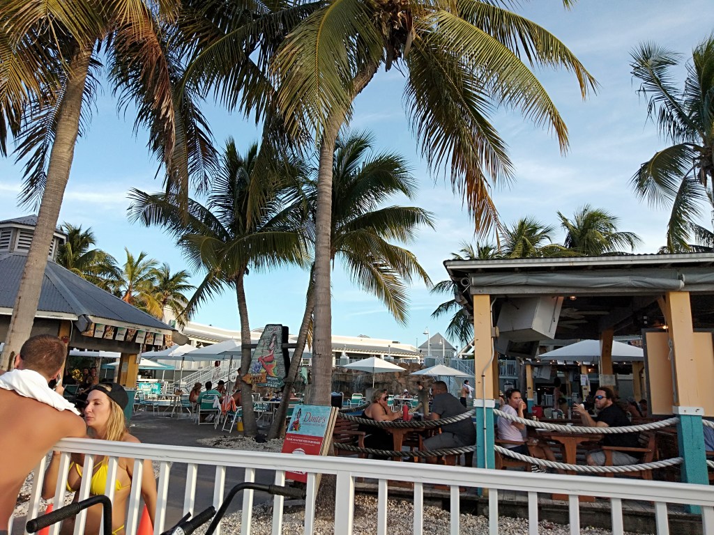
We took the train tour and our first destination was Duval Street which is the epicentre of Keywest. This thoroughfare is lined with bars, pubs, restaurants, shops, galleries and other attractions.The famous Key West butterfly and nature conservancy is also located here.
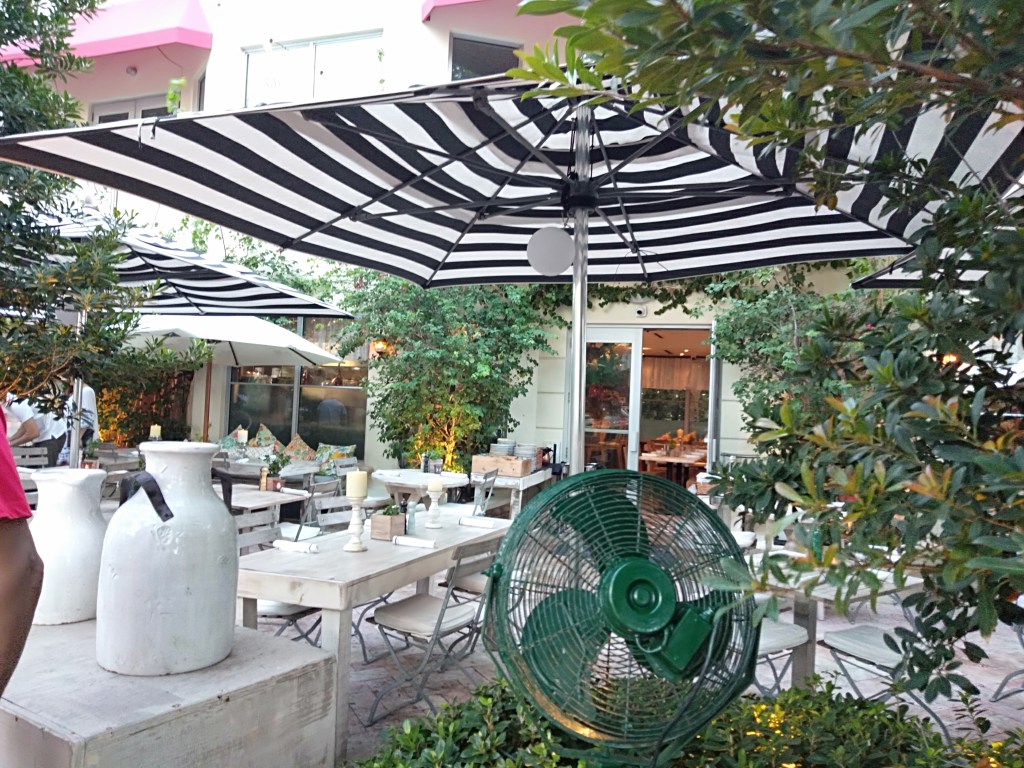
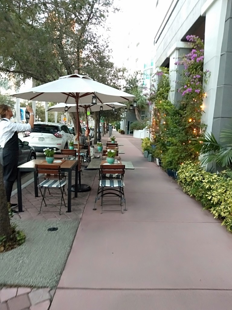
Walked around the street and savored the ambiance and had some good food .

The Train Tour

Some good food at Duval Street
After re boarding the train we hopped off at The Southernmost Point….
There is a red Buoy to mark the southern tip of Florida which is only 90 miles from Cuba

The Buoy at the southern tip of florida
Boarded the train again and hopped off at Mallory Square.
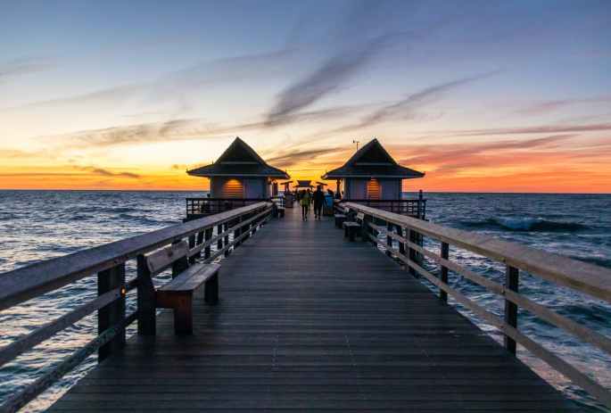
Mallory Square is a plaza located adjacent to the cruise ship port. This Square is particularly famous for its sunset views. Tourists gather here in large numbers to watch the sun go down. There are various activities here around sunset time….street performers, food carts, art exhibitors etc. Since we were leaving before sunset time, we missed the celebrations in Mallory square. Spending one night at Key West will definitely be worth it, if your schedule permits.
A short video of Mallory square with people enjoying the water sport activities

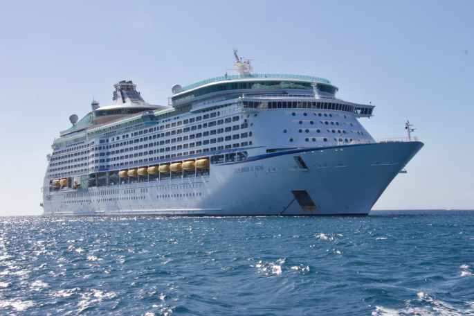
At Mallory Square with the cruise ship in the background
From Mallory square, we walked along the water front and reached a marina where lots of yachts were anchored. Also some high speed motor boats were seen anchored there.

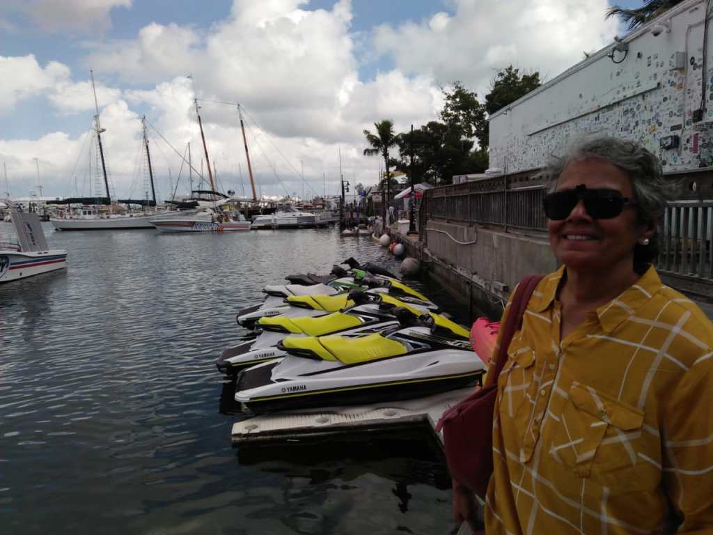

Key west Marina with the high speed boats and a passenger catamaran

Tourists enjoying the evening at the marina at Key West
While discussing Key West, it will be inappropriate to not mention one of its main attractions… snorkeling. Home to the only living coral reef in America, it is a prime snorkeling site. Since we had experienced snorkeling at great barrier reef in Australia and we had dearth of time, we did not snorkel. For snorkeling, you are taken in a catamaran to the designated sites and guided to snorkel.
Another attraction at Key West is Hemingway House which is a museum dedicated to the famous english author Earnest Hemingway. We also saw this during our tour around key west.
The sun was slowly going down on yet another beautiful day and we headed to our bus for the return trip.
Meanwhile, tourists who were staying overnight at Key West were gathering around Mallory square for the sunset and other activities.
Spending one night in Key West is definitely worthwhile if your itinerary permits!
Boarding the bus, we had another beautiful drive on the Highway that goes to Sea…this time in the other direction. Enjoying the scenery, we bid farewell to Florida and USA.
Well as I said earlier; with this blog, I finish my blogs on USA. From next week, its going to be Canada….
I hope you all enjoyed your US trip with me…
Get set to cross the border to Canada.
See you all next week at a great destination…NIAGARA Falls!!
Meanwhile do subscribe to my blog below