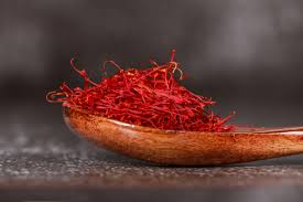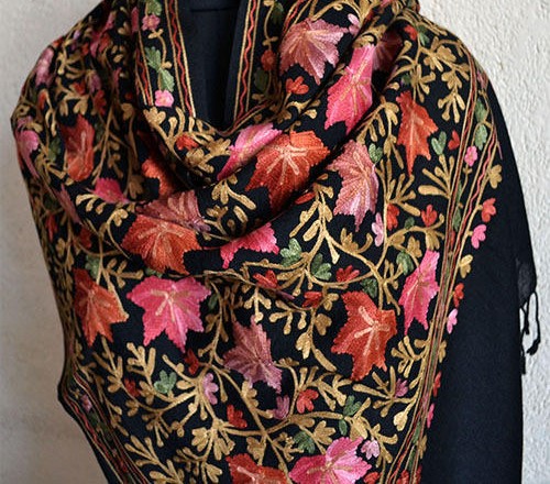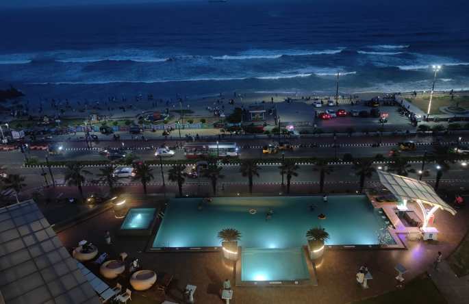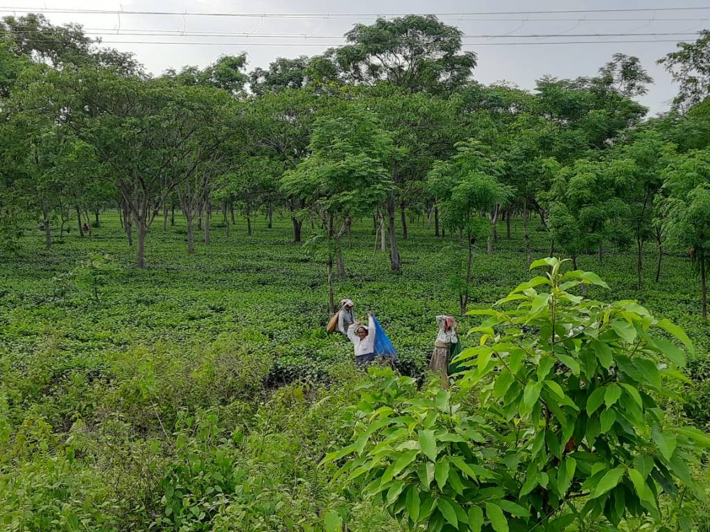
Srinagar, the largest city and capital of Jammu and Kashmir lies on the banks of the Jhelum river at an elevation of 5200 ft surrounded by the beautiful Himalayas . Home to lakes, gardens, meadows and hills, its houseboats and shikaras ( gondolas) are its identity. Infact, the Dal lake and its shikaras have given Srinagar the nickname of Venice of the East. A variety of handicrafts and dry fruits are also a speciality here.
Srinagar, a perspective…
Srinagar in Sanskrit stands for city of “Shri” (Goddess Lakshmi).
Starting with Emperor Ashoka, Kashmir has been under many kings and dynasties including the Mughals and they have all left their unique stamps on this “Heaven on Earth”. 8th century temples have been discovered near Srinagar apart from various Hindu shrines worshipped by Kashmiri Hindus. Mosques were built during the period of the Sultans and Mughals. During the Mughal era, Srinagar prospered and various gardens like the Shalimar and Nishat were built in that period. Afghans ,Sikhs and Dogras followed as rulers of Kashmir but the decay of the city started. Indian independence was followed by the accession of Kashmir to India. Insurgency gripped Kashmir in the 1980s and various instances of riots and massacres followed. Administrative crackdown followed and resulted in checkpoints and bunkers at various places in the city seen even today.
Suffice it to say that the “Heaven on Earth” has seen tumultous times ; the consequences of which are visible even today. Srinagar is heavily dependent on tourist inflows and it has seen hard times during the insurgency. The last decade has seen the gradual improvement of the situation and resurgence of tourism. In fact this year has seen record tourist inflows. Let us hope it continues to stay that way so that every one can visit this heaven….!!!!
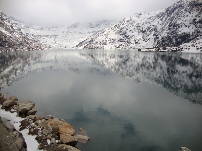
The city lies on both banks of the Jhelum river as it meanders through the valley. There are nine bridges that connect both sides of the city . A number of lakes and swamps are present here . Dal , Nigeen and Anchar are some of the popular lakes while the wetlands of Hokersar are a great destination for migrating birds from Siberia.
Visiting Srinagar
A visit to Srinagar can be a different experience each time as the city changes its characters with the seasons.
In spring and summer, a houseboat stay, a shikara ride on the Dal lake, a visit to the floating markets and of course the Mughal gardens and the famous Tulip Garden will enthrall you.
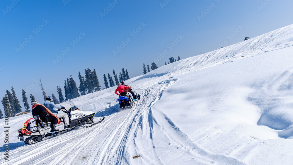
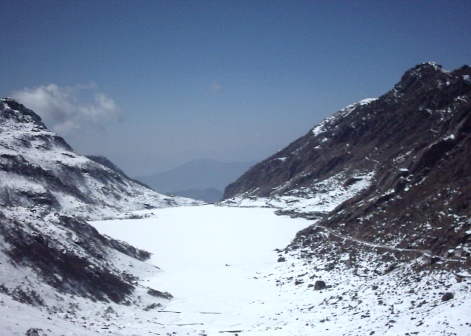
In winter, it becomes a winter sport and adventure sport destination and looks totally different when draped in snow.
Enjoying the special cuisine is yet another experience!
Venice of the East
The multiple lakes with navigation channels all over have given the city this nickname. Dal lake and Nigeen lake have houseboats , while Wular is the one of the largest freshwater lakes in Asia.
Houseboat tourism is one of the biggest revenue generators of Kashmir. These houseboats are stationary and anchored along the banks of the Dal lake. More on Dal Lake and its houseboats and shikaras in future episodes…

Nigeen Lake
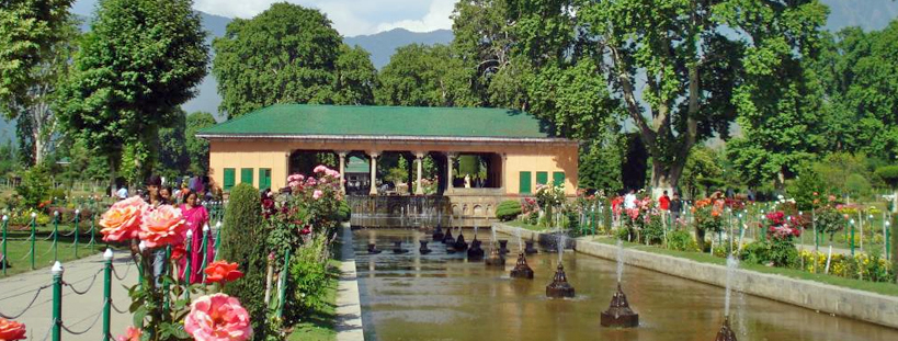
Mughal Gardens
Srinagar has many of the gardens built during the Mughal era all over India. Shalimar, ChashmeShahi and Nishat are some such gardens that are on the way to becoming world heritage sites. More on these in later episodes.
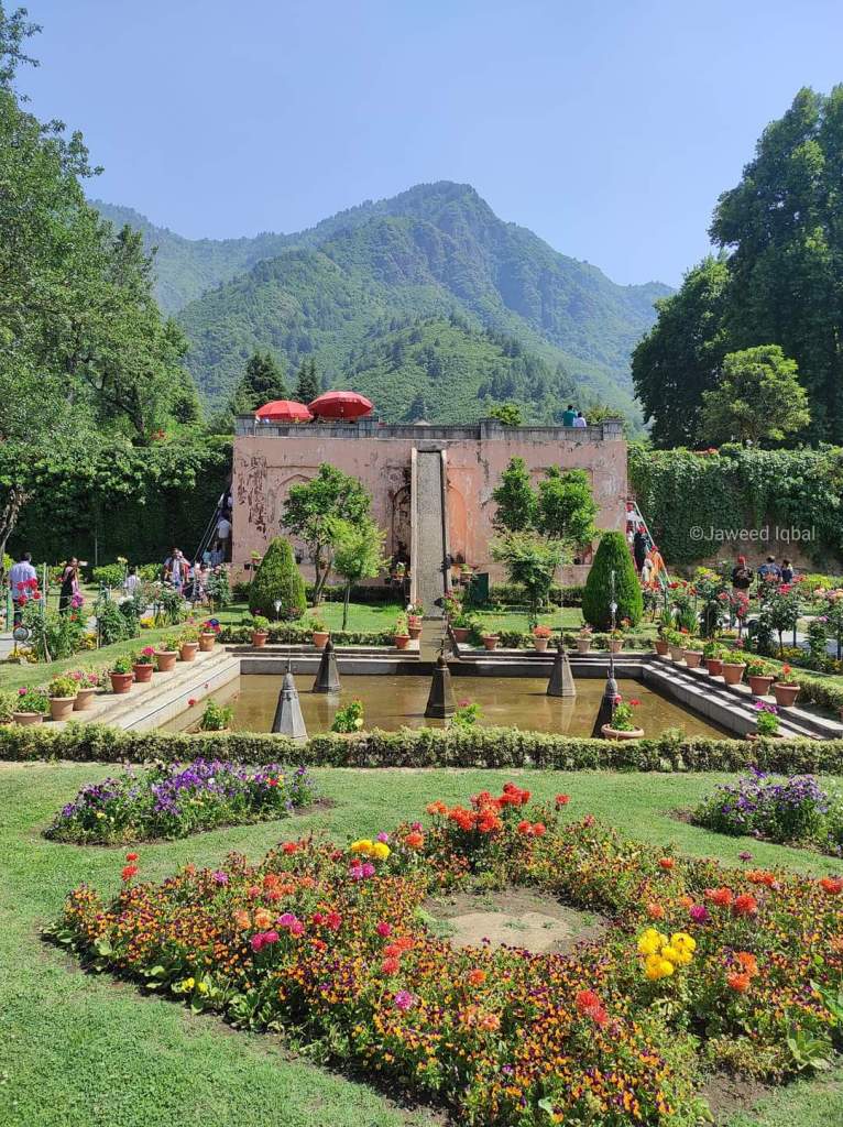
Mughal gardens
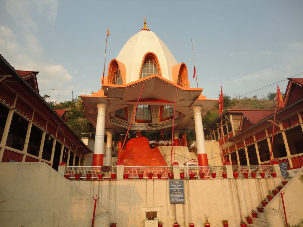
Shankaracharya Temple
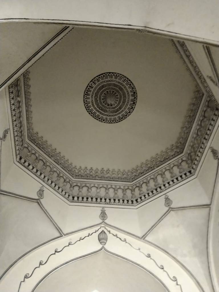
This 9th century temple , perched atop Shankaracharya Hill, is evidence of Hindu culture and philosophy having left a stamp on Kashmir.
This temple is considered the oldest temple in Kashmir and is dedicated to Lord Shiva. Kashmiri Hindus believe that the temple was visited by Adi Shankara during his spiritual journey across India . He is believed to have meditated in a cave close by , and as a tribute to his visit, the temple came to be known as the Shankaracharya Temple.
The temple is easily accessible by road to the base of Shankaracharya Hill. From there, a flight of approximately 250 steps leads to the temple complex. The last few steps are quiet steep. It is important to get there as early in the morning as possible so that you can get dropped close to the steps .If you reach later than 9.30 then you will have to walk up the road quite a distance as there is no place to park the car near the ascent.
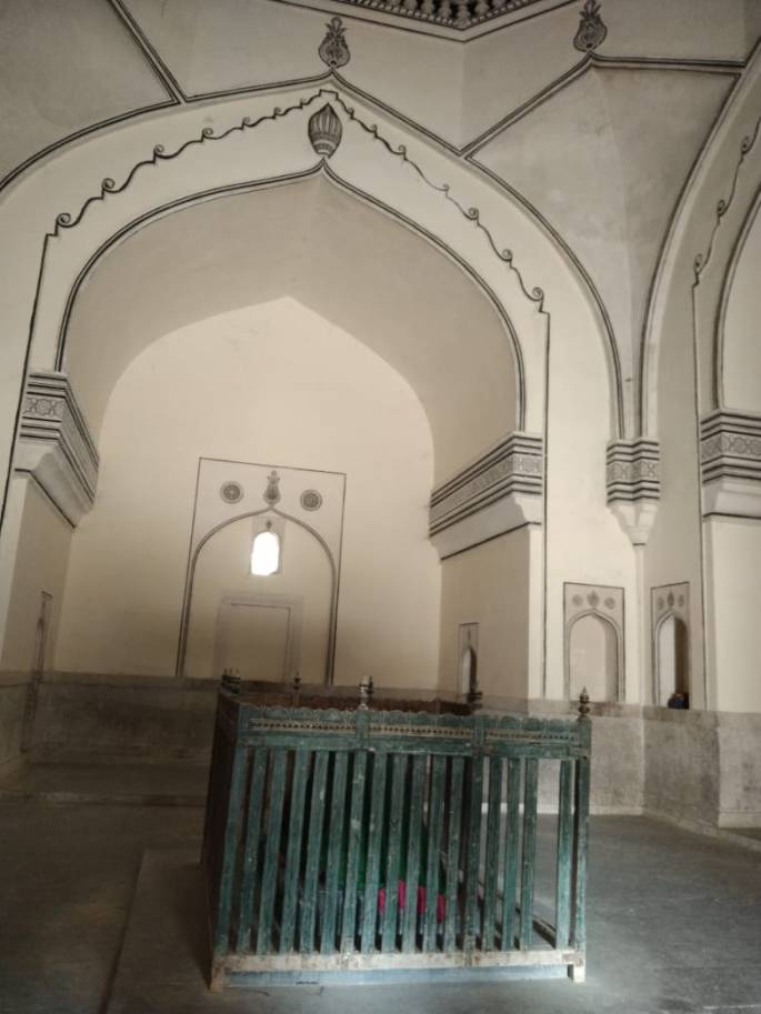
Built with strong stones with a conical roof, the primary deity of the temple complex, Lord Shiva, resides in the sanctum sanctorum in the shape of a lingam. There is also a statue of Adi Shankara in the temple.
Ample resting area with proper shade is available at the top and 360 degree views of Srinagar can be seen from the top.
The temple is used for regular worship and pilgrims visit the temple during the Amarnath Yatra too.


The hill, temple and steps leading to the deity

View of Dal lake from Shankaracharya temple
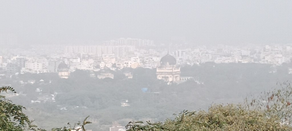
Hazratbal Shrine
Also called Dargah Sharif, this is a holy shrine of the Muslims. Located on the banks of Dal lake, a hair of Prophet Muhammed is preserved here.
It has a long history. The site where the mosque is today was a garden during the reign of Shah Jahan. The present day mosque has a marble edifice and dome completed in 1979.


Hazratbal shrine
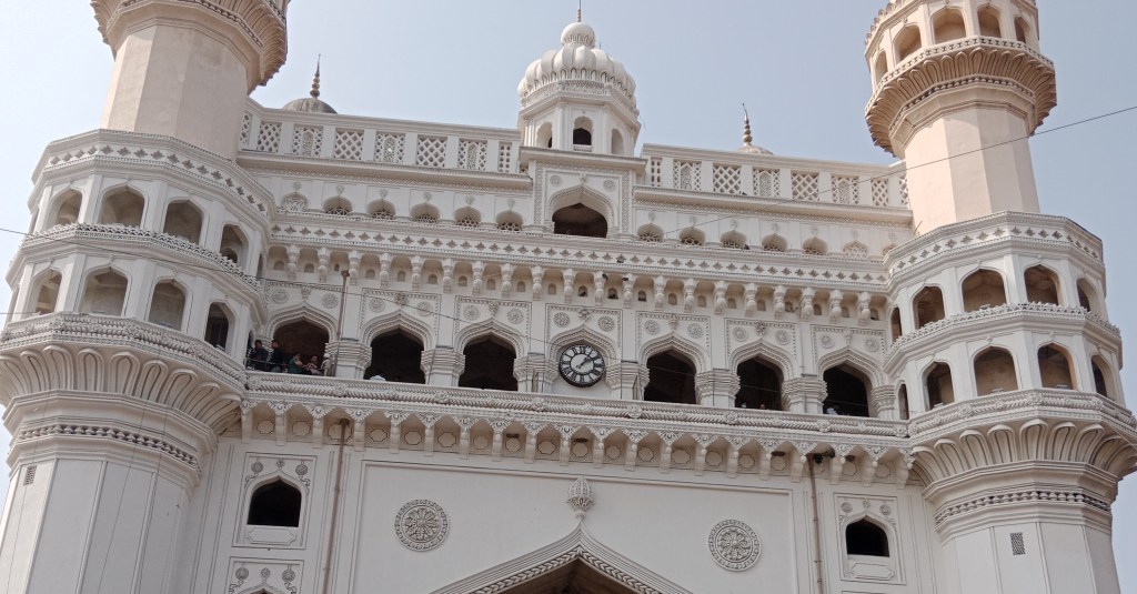
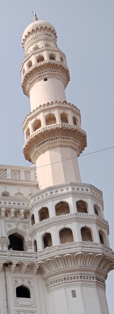
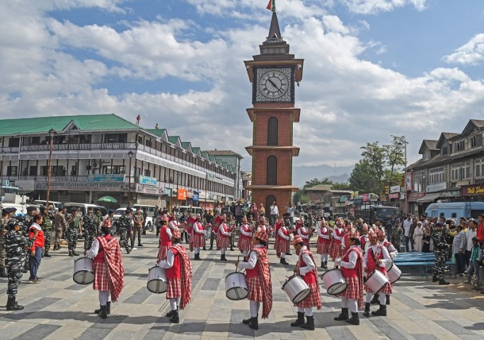
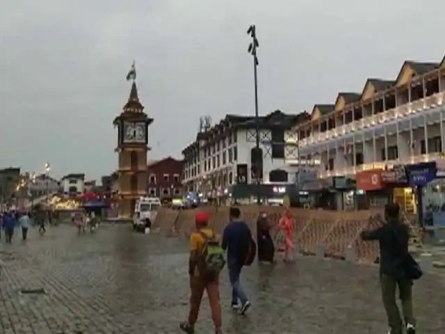
Lal Chowk
This city square in Srinagar was built similar to the Red square in Moscow and is really the center of all activity here. The iconic clock tower here is called Ghanta Ghar. It has seen many renovations and is a mix of contemporary and classic architectural design.
It has been witness to many unfortunate incidents during the times of insurgency in Kashmir. Today, many political meetings , community functions and festivals are celebrated here.
A lot of shops are located around this and it is one of the main shopping centers in Srinagar.
Lal Chowk

A shopkeeper arranges dry fruits in his shop at Lalchowk
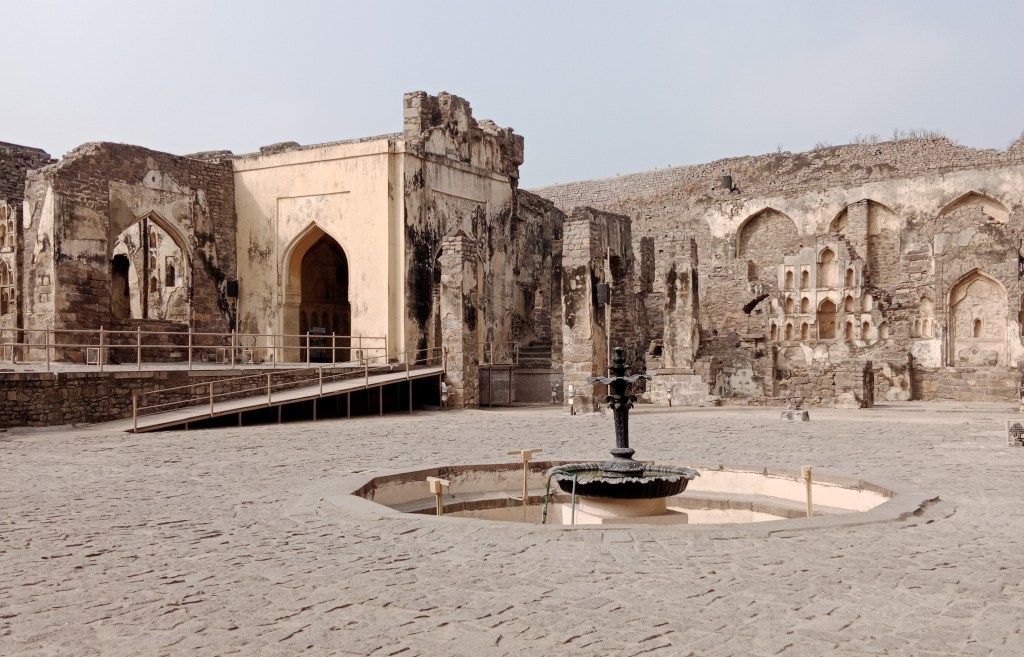
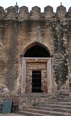
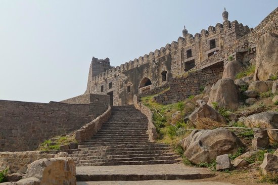
Hari Parbat
This is a hill overlooking Srinagar city and has a fort and multiple shrines.
The fort was built by Emperor Akbar in 1590 but was never completed. The present fort was built in 1808 during the Durrani Empire.
There are multiple shrines at Hari Parbat. Hari Parbat is sacred to Kashmiri Hindus and Goddess Parvati with 18 arms sitting on the Sri chakra is worshipped in a temple here. A mosque called Makhdoom Sahib and Gurudwaras are also present at Hari Parbat.

The Hari Parbat, fort and temple
More Shopping!!
Last week we looked at some unique products to shop in Kashmir. Well, there are a few more.
Kashmiri paper mache products
Paper mache was introduced in India by a Persian saint on his journey through Kashmir. He also brought some skilled craftsmen from Persia. The local artisans then added their own designs and today we have a wide array of typical Kashmiri paper mache products.
Pen stands, jewelry boxes, paper holders and even storage containers are available and look very attractive.

Kashmiri Paper Mache items
Kashmiri Wazwan
This is a multicourse meal of Kashmiris considered the pride of Kashmiri culture. It has mainly nonveg dishes ; usually lamb or chicken with few veg dishes.


Kashmiri Wazwan
That sums up Srinagar for you. Next week we will visit Dal Lake and soak up the ambience there.
Till then, do subscribe, like and comment.