Portage Glacier

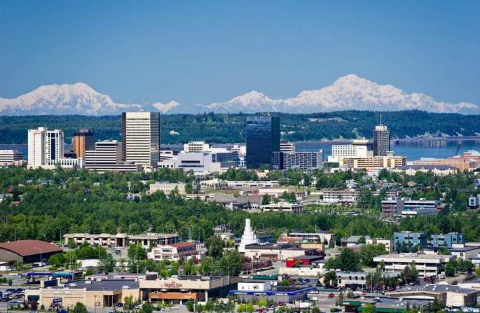
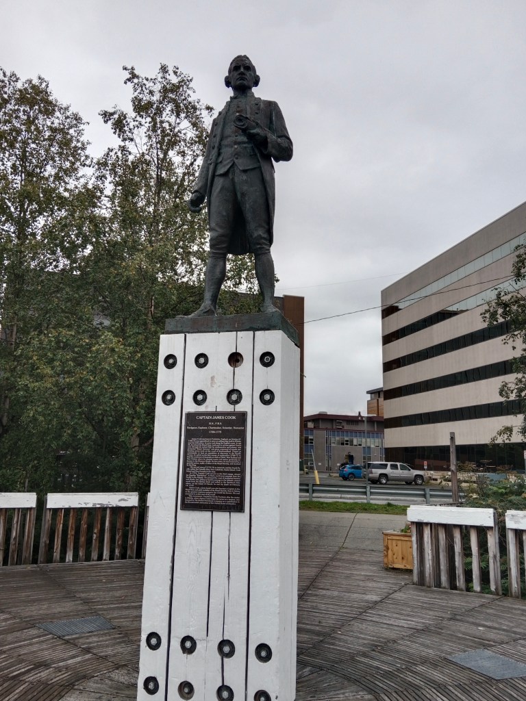
Portage glacier is located just 75 kms from downtown Anchorage in Alaska and has seen much change over the years. A visit to Portage Glacier on a day tour from Anchorage was the agenda for the day…

Our Trip

Starting off with a small group of people, one beautiful morning in early September from Anchorage with our guide Jamie , we had some awesome experiences.

Leaving Anchorage city behind, we were soon on the Seward Highway. This highway runs parallel to the rail tracks over a long distance . I am mentioning this here as there is a lot of overlap of pictures and information between this trip and a beautiful ride on the Coastal Classic train from Anchorage to Seward.

Turnagain Arm

This is one place we are going to talk about off and on. It is a waterway that is an inland extension of the Gulf of Alaska . This is peculiar in that the variation in tide levels is highest here; around 40 ft.

This Seward highway runs along the banks of the Turnagain Arm for a considerable distance.

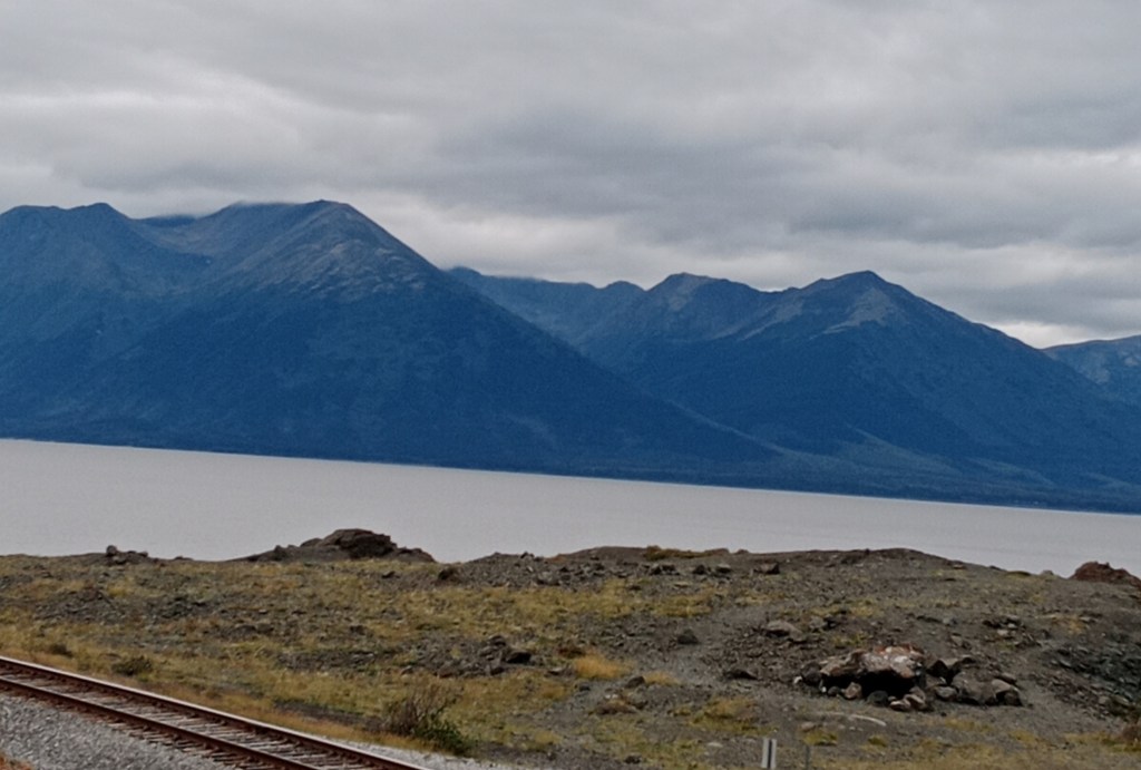
The Turnagain Arm ( rail tracks can be seen running along its banks)

As we travel on the highway, we have the Chugach Mountains on the left and the Kenai mountains on the right with the Turnagain Arm in between. Portage Valley is the place where these two mountain ranges meet and the Portage glacier is located in this Valley. More on this as we reach Portage Valley.

Beluga Point

A view point along the Turnagain Arm, it is a rocky projection into the sea. It is a popular whale watching destination as the Beluga Whales enter the area to feed on the Pacific salmon. These Whales are relatively smaller than the other whales and have a white head which is often seen in the water looking like a white cap moving in the water. We did wait here on two occasions but did not see them. We did see the tide moving into the inlet in the evening.
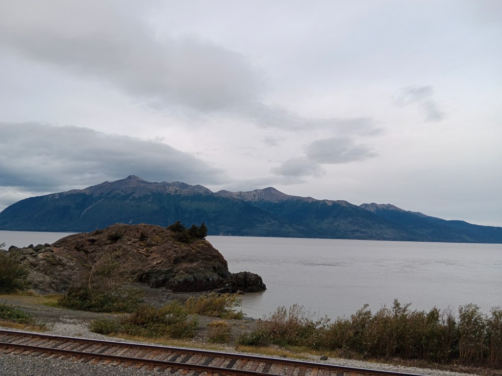
At Beluga point

The dangerous mud flats

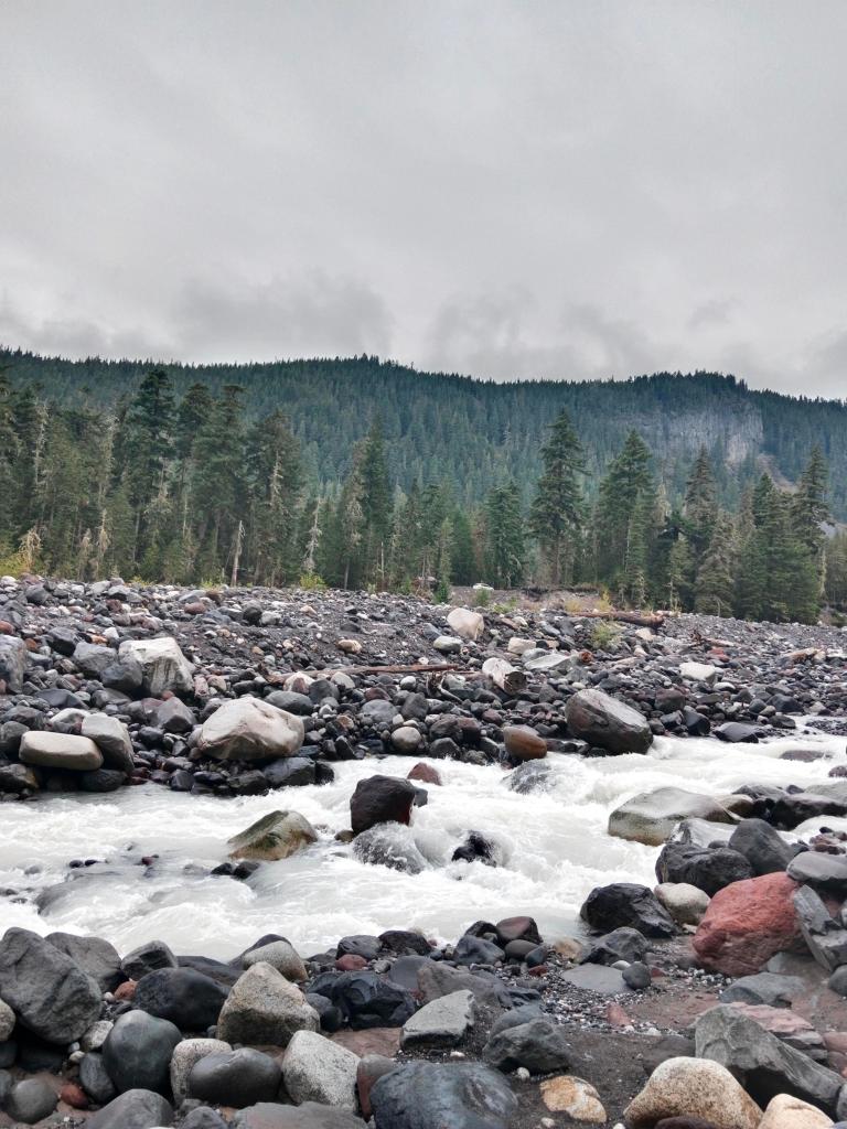
Another peculiar sight along the Turnagain arm are the Mud flats. These are glacial silt which has accumulated over the years and are very sticky and messy like quicksand. If one steps on them, the feet sink into it and one gets stuck in it. Our guide told us that in spite of warning signs put up, some over enthusiastic person often gets stuck and they have to be rescued.
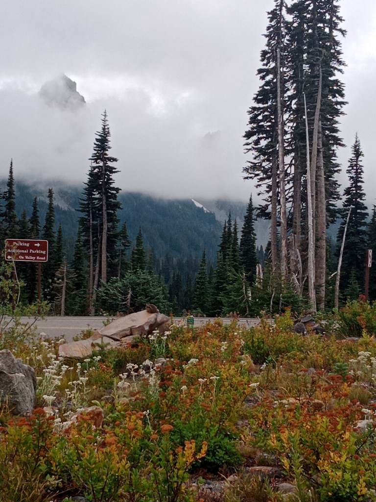
Dangerous Mud Flats

Bird Point

This is another interesting halt along the highway where there is a small park and a wooden walkway which takes you to great views of the ocean and the mountains,

Besides this the area is also a lookout point for mountain goats and black bears along the mountain slopes. We did spot a couple of mountain goats!

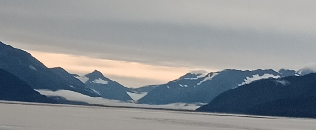
The Bird point lookout and the view of the Kenai mountains with snow

Driving along, we were approaching the area where the Chugach and Kenai ranges meet. That formed a valley and it was there that our destination; Portage glacier was.

The two mountain ranges with the Portage valley and glacier seen from a distance.

The Portage Glacier has seen much change over the years ….read on….

A brief history

In the Ice Age (1300 to 1850 A.D), most glaciers in the world were advancing. Portage glacier is no exception. During the period 1500 to 1800 A.D. Portage was adding more ice to its mass than it was retreating. It covered the entire Portage valley; a distance of 23 kms.

This glacier got its name because it was used as “portage” between Prince William Sound and the Turnagain arm.Till 1914, the present day Portage lake was non existent and people could trek the glacier across Portage Pass to the town of Whittier. It was only in the 1900s that glacier retreat became a reality.

Today, we have a lake there; Portage Lake ; over 600 ft deep and the glacier terminal is not visible directly. It lies behind the mountains on the left and we need to cruise the lake to see it!!!

Portage was very badly affected by the great Alaskan earthquake of 1964 which led to the flooding of the town of Portage which was then vacated. Thousands of trees were submerged in water and what we see today are tree stumps preserved by the salt water. More on this as we tour the place…

The tree stumps, remnants of the trees submerged by the earthquake

Continuing our trip

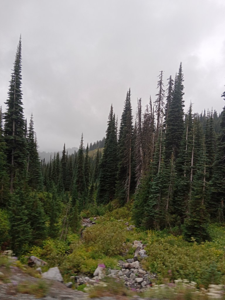
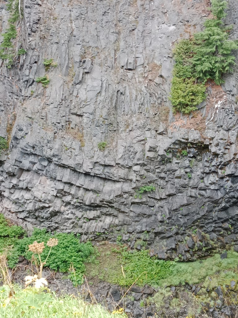
We turned off the main highway to the glacier. The scenery was even more beautiful with waterfalls in between the cliffs and glimpses of the glacier in between the trees and rocks.

Glaciers and waterfalls all along the way

Finally, we arrived at the parking area with the beautiful Portage lake and its surroundings. Enjoying the scenery and taking some pictures, we boarded our cruise boat “Ptarmigan” that was waiting for us. After the customary safety instructions, we set off on Portage lake to see the glacier.

The Portage lake

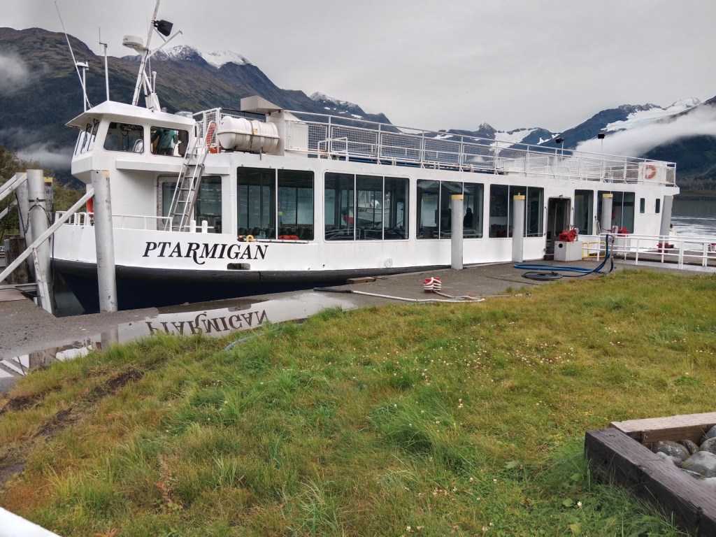
The Ptarmigan and a waterfall on the cruise

Multiple waterfalls draining into the Portage lake

Cruising along the Portage lake, gradually the Portage glacier came into view. There were small icebergs floating around as we reached the glacier. Some pictures…

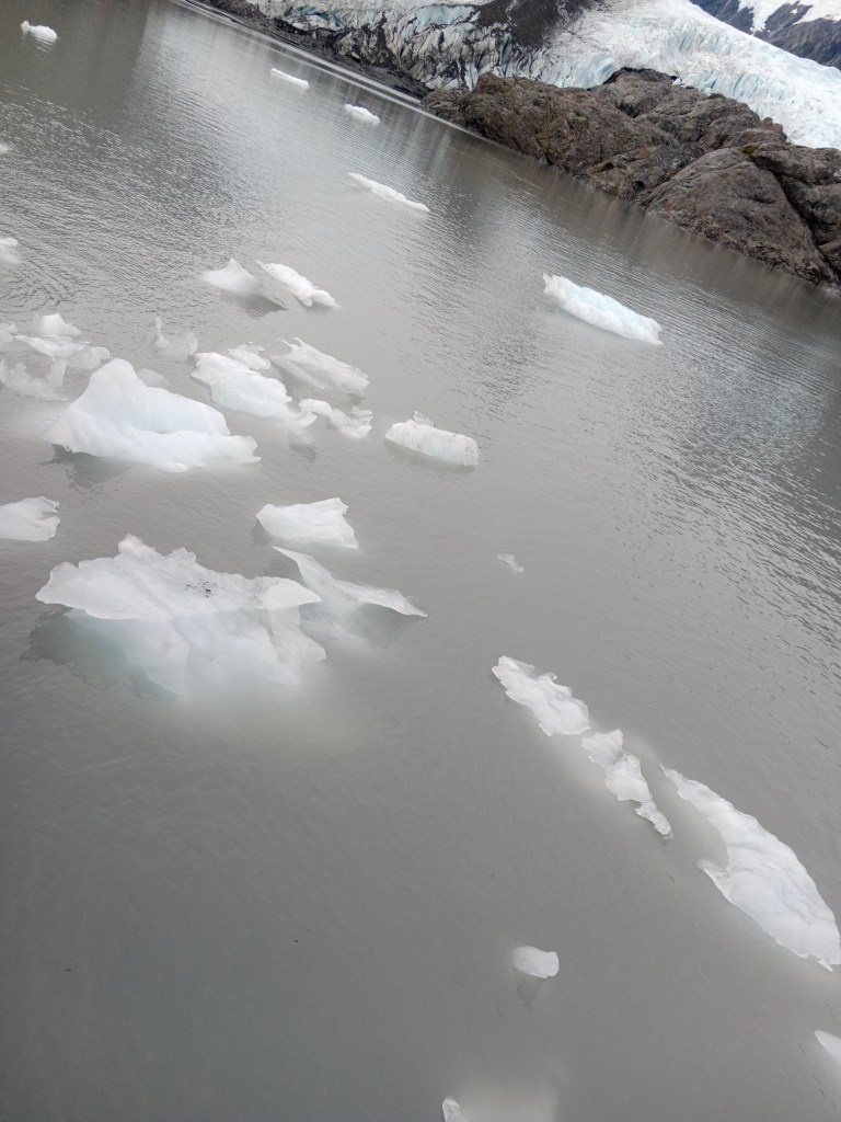
Small icebergs floating around the lake close to the glacier
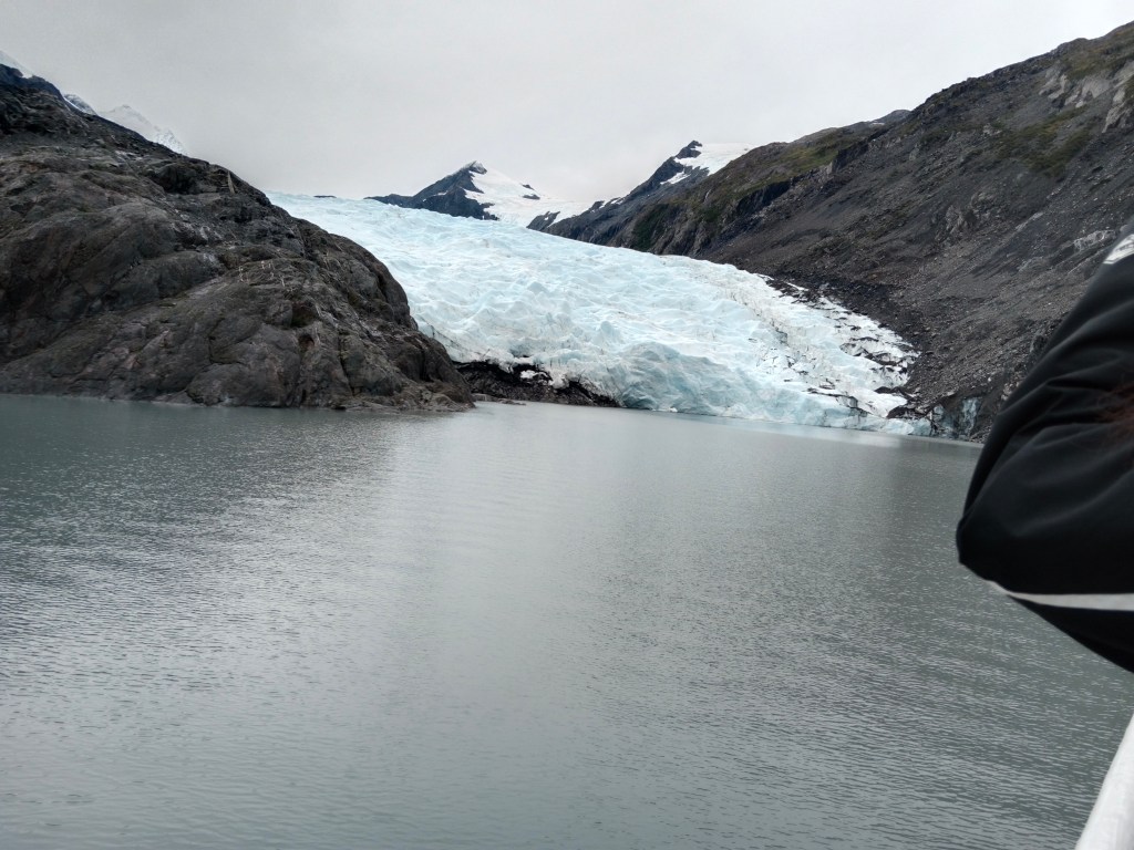
Portage Glacier

Portage glacier, it’s reflection and the little icebergs form an amazing sight!

The cruise boat halted close to the glacier for some time. We did not see any calving at that time but the floating icebergs were evidence of recent calving.

The cruise boat had an exhibit that displayed the location of the terminal part of the glacier at various times in history. That was truly an eyeopener on how much this glacier had receded.

A diagrammatic representation of recession of Portage glacier

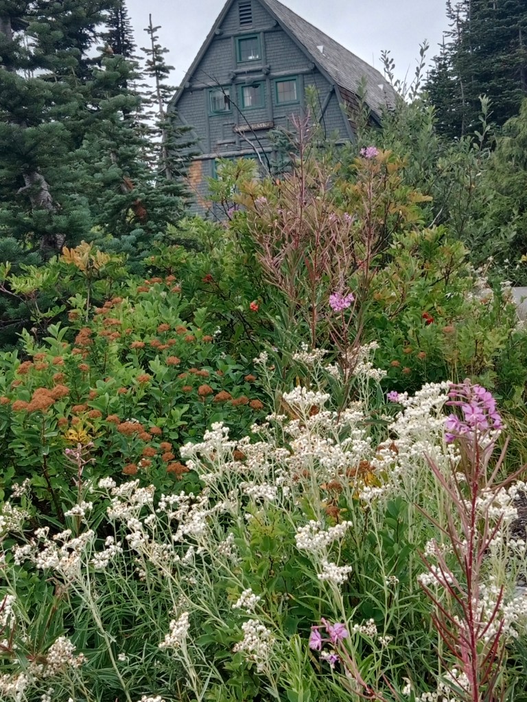
Returning back to the starting point, we disembarked from the boat and headed for lunch to the only available restaurant in that remote location.

The only restaurant

After lunch, our guide took us to another beautiful view point; the reflection lake. Here there is a lake which is surrounded by lush green forests and from one corner is visible the Explorer glacier. This glacier casts a reflection on the lake making it an adorable location. A trail starts from here and goes back to Portage lake.

Some pictures..

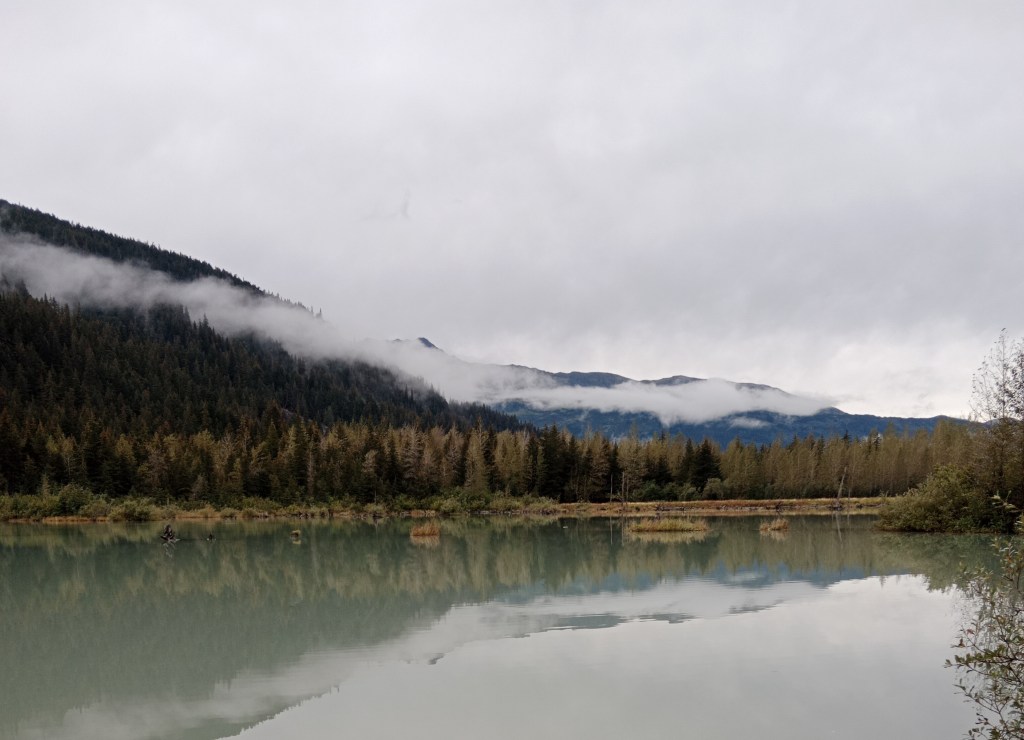
The beautiful Reflection lake

At reflection lake with the glacier behind and the trail sign board

The Explorer glacier casting its reflection on the lake below….

After this wonderful view, we were on our way back to Anchorage . We were again on the Seward Highway and tried to look for the Belugas but they evaded us…

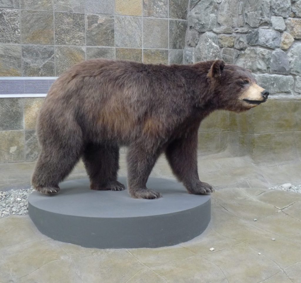
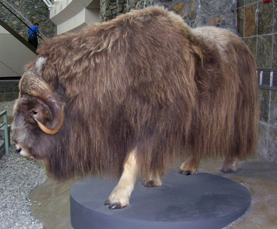
On the return journey we halted at the Alaska Wildlife Conservation Center that lies close to the highway. This center is unique in many ways and is a shelter and refuge for many of the animals. I have to go into that in more detail to do justice to it. So that will form part of the next episode that features Alaskan Wildlife.

See you next week with unique Alaskan Wildlife that will surely enthrall you….

Till then, do give your comments and feedback.

Anchorage

Our first destination at Alaska was Anchorage and true to its name, we used it as a base to go to various destinations. So we were in and out of Anchorage a couple of times, and here, I am putting together our experiences during these visits.

We flew in to Anchorage from Seattle. The views from the flight were amazing to say the least . Let me share some of the pictures to make you get the feel of flying into Anchorage.

Alaska Airlines with the logo of an indigenous Alaskan

Taking off from Seattle, soon we were over British Columbia in Canada, flying over the incredible Rockies…

The Rockies as we flew over them. Note the turquoise lake so typical of the lakes here.

Some more flying and then we were on top of some of the largest sheets of ice….

Some amazing views of Alaskan glaciers ( difficult to separate the ice and clouds!)

Leaving the icesheets behind we were flying on more liveable terrain and the farmlands were visible.

Finally we were cruising over Anchorage and the Cook Inlet and Turnagain Arm ( will be referring to this very often in the forthcoming episodes when it will be clear to you) of the Gulf Of Alaska were just below us….

The Cook Inlet and Turnagain Arm of the Gulf Of Alaska

Since this was our first destination in Alaska, This episode will have a general roundup of things unique to Alaska too.

When we talk about Alaska, there emerges a mental picture full of mountains, glaciers, unending wilderness, bears, salmon, long daylight hours in summer, short gloomy winter days and the northern lights . Most of this is true but you cannot have all these in one trip. What we see in summer and what we see in winter are totally different and if one wants to cover every bit of Alaska, one has to be there at different times of the year. Many parts of Alaska shut down totally in winter and the local people go elsewhere. These kind of things are unimagineable for people like us who live in the tropics. And it is precisely this that attracts everyone to this natural wonderland…

The weather can be so fickle even in summer that one has to give extra days at each place for sudden and last minute changes in plans.

Tourism is an important industry in Alaska and the emphasis to attract tourists starts right from the airport. Major part of the tourism industry here is linked to Alaskan cruises, and unlike us, most people reach Alaska on a cruise. So there is an entire section in the airport dedicated to the various cruise lines that operate from here. They receive and facilitate the passengers flying in to Anchorage to join cruises elsewhere.

An Alaskan Cruiseliner

Apart from that ,there is a train station of Alaska Railroad at the airport which is at present being used for trains chartered by cruise lines only. Most passengers take the train to Seward or Whittier and board the cruises from there.

Wildlife

Alaska has unique wildlife and any trip to Alaska will include visits to see these animals. The airport itself showcases their wildlife in the form of stuffed animals. Besides, there are monitors displaying various wildlife encounters available to tourists in Alaska. One of my future episodes will be dedicated entirely to Alaskan wildlife….

Stuck at the airport…..Stuffed and preserved….Black bear and Musk Ox

Private chartered flights

Small private chartered flights take passengers from Anchorage to various destinations. This is required because there are many places in Alaska where the access is only by air for most part of the year. People visiting Alaska for specific purposes at a particular destination, take these flights.

Chartered flights

Fishing

Alaska has a long coastline and provides endless opportunities for recreational fishing. Special fishing trips and charters are available. Many tourists enjoy the fishing and then carry the catch with them home. Towards this end, we find lot of travellers with fishing equipment and storage containers at the airport. Many locations offer facilities for storing fish and shipping them to the required destinations .

Fishing charters

Moving on to Anchorage city…..

Anchorage city

Overall, Anchorage was a small sleepy laidback city when we visited it in summer. Most activities revolved around tourists taking cruises from other places and just using the city as a halt. The streets were empty most of the time even in the downtown area. Evenings saw more activity related to bars and pubs. Mind you, this is in summer…the time of peak activity. In winters, when temperatures dip to sub zero, most establishments close down and many locals head to warmer places. This is true all over Alaska. Most of the tourism centric jobs are very seasonal and the locals need to find alternative occupations. The flowers and the grass would then be just a white carpet of snow. Life will be difficult for anyone who stays back in the winter. Winter tourism also takes place but in selected places mostly related to ski resorts and such activities.

The streets in the city are by and large square or rectangular and named by alphabets and numbers. That makes it a little easy to find one’s way around.

A typical street in downtown Anchorage (note the street name in alphabets)

Buildings have small flower beds outside and there are flowerbeds along most roads . Being summer, they were in full bloom and added beauty to the place.

Outside a building and at the bus stop

Beautiful flower beds by the roadside

Denali Views

Mt. Denali as viewed on a sunny day from Anchorage…that’s my featured image.

On bright sunny days, one can see Mt. Denali from Anchorage but we were not so lucky. As our visit was towards the fag end of summer, we hardly had bright sunny days.

What we saw…..

Views of Alaskan ranges from Anchorage city

Wall Murals

Wall murals are very popular in Alaska and we saw a lot of them both at Anchorage and Seward.

Hope Wall Mural

This was painted during the pandemic by a group of volunteers . It is in the form of squares which have been painted and then attached to the wall . This signifies hope that things can only get better and coming during the pandemic, it surely meant a lot!!!

Hopewall Mural

Indigenous people

Another interesting mural was one which depicted the close relationship between the indigenous people, the land, animals and their way of life…

Mural honouring the indigenous people

Whaling wall mural

Called Alaska’s Marinelife, it depicts whales and seals native to Alaska and adorns a huge wall in downtown Anchorage

Whaling wall mural

Downtown Anchorage is home to a variety of restaurants and bars. Difficult to recognise as a bar or pub; it seems very quiet from outside. Once the doors open, it is music and dance inside.

Restaurants and bars

Alaska Centre for Performing Arts

One of the buildings that looks different in downtown Anchorage is the Alaska Centre of Performing Arts which was lit up for some performance. Some pictures..

Alaska Centre of Performing Arts

Anchorage Museum

The Anchorage Museum has exhibits of art , history, the Discovery Centre, Science galleries and the Smithsonian Arctic studies centre.

Anchorage Museum and some exhibits

Just off downtown are residential communities which usually have a nice park for recreation…

Typical residences in Anchorage

War Veterans Memorial

Located at Delaney Park, this memorial has a soldier in combat mode and is dedicated to Alaskans who have died in combat during various wars.

Some pictures…

War Veterans Memorial

Resolution Park and Cook Memorial

A small park towards one end of downtown, has a bronze statue of Captain Cook. This is in commemoration of his exploration of the Cook Inlet on board HMS Resolution in 1776. Captain Cook did not actually reach Anchorage as part of his explorations though he paved the way for it.

Cook Memorial

Some disturbing truths….

Homeless and Drug Abuse

Downtown Anchorage did leave me a little disappointed. Large number of homeless people foraging dustbins was not what I had expected here. Half naked men and women lying on the roadside in different states of intoxication is a common sight. Many are quiet but others are constantly hurling abuses or standing in various acrobatic poses.

A homeless man forages a dustbin and a woman sleeps on the roadside

Simultaneously there are people trying to help and rehabilitate such people as you can see in the picture below where a drug rehabilitation camp of sorts was held at the local park.

Drug warning board in the park where rehabilitation camp was held

This is not exactly a very pleasant thing to talk about but I have to show the negative parts of a place too!!

Small tips for future travellers to Alaska

Weather can change any moment and so, be prepared with gear to face it at all times. Always dress in layers and thermal innerwear is preferable. Rain gear is essential whenever you step out. Good shoes , preferably hiking shoes will keep your feet warm and prevent you from slipping on wet surfaces.

When you plan an itinerary, always leave time for a last minute change due to weather conditions. So keep extra time at all destinations if you dont want to miss out on anything.

Most tour operators offer hotel drop and pickup.

Never interact with the homeless .

With this I wind up my episode on Anchorage city. Hope you have got a virtual picture of this city. We move on to more adventures in the coming episodes. Till then, do keep your comments and feedback coming.

Seattle

Situated on the Puget Sound in the Pacific Northwest, this northernmost major city of the United States was our first halt on our way to Alaska. Initially a logging port, this city gained importance in the late 19th century as a gateway to Alaska during the Gold Rush.

The city derived it’s name from the chief of Duwamish and Suquamish tribes that inhabited this area. It is heavily defined by its musical history with jazz clubs , origins of rock music etc. Today, it is a major technology hub with many technology companies having their offices there. Apart from that, Boeing also operates out of Seattle.

The city itself is very hilly , though not so uniform and lying on the Pacific Ring Of Fire, is prone to earthquakes.

Some views of the city as we spent a couple of days here.

The Link Rail

We used local transport most of the time and found it very convenient and user friendly. The tickets can be purchased at the vending machines at the station and are reasonable.

Display boards inside guide you about approaching stations

The link rail and it’s interior

Some of the stations are underground . The train itself was plush but the stations definitely looked run down . Homeless people and drug addicts are all over the place and even WestLake station which leads to posh shopping complexes was dirty and gave out a bad stench!!

The run down WestLake station with filth all around!!

Monorail

This train takes one right into Seattle centre. After taking the light rail to Westlake, one can change to the monorail to reach Seattle Centre.

This monorail runs in between skyscrapers almost scraping them and gives views of downtown Seattle.

The Monorail station next to the buildings and interior of the monorail

Views of Seattle downtown from the Monorail

Seattle Center

Seattle center is an art, entertainment,and tourism centre in Seattle covering several acres and built in 1962 for the World Fair. One of the iconic images of Seattle, the Space needle is located here. Besides that, it is home to various attractions like the International Fountain, Totem Pole, Monorail terminus, Kobe Bell, outdoor mural amphitheatre, Mueum of Pop culture,Pacific Science Center , Chihuly garden and glass, various theatres, the armoury and many more. It hosts several performances and festivals too.

Space Needle

Considered an iconic landmark of Seattle it is an observation tower at Seattle Centre , built for the World fair in 1962. It offers great views of the city besides the Cascade mountains, Mount Rainier , Olympic mountains and the islands of the Puget Sound. The hovering disk of the space needle houses Skycity, a Pacific northwest restaurant. Some pictures..

The iconic Space Needle

The Observation deck views

City Views from Space Needle

Musicians are a common sight at Seattle center. Here is one guy enjoying himself…

Here’s another band for you…

Enjoy this…

Even here there are plenty of homeless and drug addicts and the lonelier parts are stinky .

International Fountain

A large fountain at Seattle centre, it is lit up at night and has music too!!

International Fountain

John Williams Totem Pole

Besides being a work of art, this totem pole has a sad story behind it. John was shot and killed by a police officer as he was walking along with a carving knife and a piece of wood. To highlight this issue peacefully, his brother decided to make a totem pole in honor of John. Soon it gained popularity and it was bought from him by a group of family and friends who arranged to have it installed at a public place.

John Williams totem pole

Museum of Pop Culture (MoPOP)

The history of Seattle has always been intertwined with various forms of music like jazz, pop, rock etc. The Museum of Pop culture showcases this. The architecture of the building itself is unique and very jazzy. The light rail almost enters this building as it reaches Seattle Centre.

It houses some of the legendary pop culture artifacts, exhibitions featuring pop luminaries, film and television personalities and various yester year bands. One can have various interactive experiences here too.

MoPOP

Arrow showing the monorail tracks almost entering the building

Grass blades art work that acts as a screen for the car park at MoPOP

Outdoor Mural Amphitheatre

Mural Amphitheatre is an outdoor gathering space built on a natural hillside located in the heart of Seattle Center just minutes from downtown Seattle.

The Amphitheatre serves as a primary venue for concerts during the major summer festivals 

Outdoor Mural Amphitheatre

A children’s play area is also part of the complex ….

Play Area

Kobe Bell

Kobe in Japan and Seattle are sister cities and this huge metal bell under a pagoda in a meditation garden looks beautiful.

Kobe Bell

Chihuly Garden and Glass

I found this to be the most colourful and attractive part of Seattle center. This is actually the glass studio of Dale Chihuly ,the glass sculptor and features a garden, a glass house and interior exhibits.

The creations were outstanding and the reflectivity of the glass made the works pop even more.

Some pictures…

Attached to it is a shop where some of the art can be purchased.

Some pictures…

Artwork for sale

Pike Place Market

A very popular tourist destination in Seattle is the Pike Market. It is a public farmer’s market in Seattle where many small farmers, craftsmen , merchants and fishermen sell their wares. This market which started in 1907, has some great restaurants selling seafood with views of the Puget Sound. Many of the merchants live in the buildings surrounding the market. The market operates at various levels.

Pike Place Market

Inside the Pike Market

One of the major attractions here is the fish market where fish are displayed and once a customer orders one, the employee picks it up and throws it to the counter where it is prepared for sale.

Famous fish throwing

Exotic seafood

The flower section looks very beautiful with fresh blooms all ready to be sold!

Blooms …..

Vegetables and fruits

Restaurants and bars

Street food

Ferris Wheel

Another attraction on Elliott bay near Pike Market is the 53 metre tall Ferris wheel . The illuminated ferris wheel adds colour to Elliott bay in the evenings. On special days, it gets lit up in various themes .

The Ferris Wheel

Well, with this I finish the roundup of Seattle. From Seattle we headed to Anchorage starting the real Alaskan adventure. See you next week from Anchorage. Till then, do give me your feedback and comments.

Paradise and Mt Rainier

In the last episode, I had promised to take you to a special place called Paradise. That’s where we are today. We reached Paradise around noon during our drive through Mt Rainier National Park.

Paradise

This is an area on the south slope of Mt Rainier at a height of approximately 5400 ft. It is the most popular destination for visitors to the Mt. Rainier National park. It lies in the Paradise river valley.

Paradise features subalpine meadows, the Jackson Visitor Centre, the historic Paradise Inn and offers epic views of Mt Rainier.

Paradise is also the primary winter-use area in the park receiving 643 inches of snow on an average every year making it ideal for winter activities like snowshoeing, cross country skiing and sledding . It is often called the snowiest place on earth where snowfall is measured.

Why is it called Paradise?

For those of you who have not seen the previous episode, James Longmire was an American explorer who ran a homestead in the Rainier area .The mineral springs near the homestead were claimed to have medicinal powers. Subsequently the homestead was convereted into a museum at the place called Longmire inside the Rainier National park.

The sub-alpine wild flower meadows and the breathtaking views from here made James Longmire’s daughter in law to exclaim “Oh,! What a Paradise”. The word Paradise stuck to the place and hence the name.

Some pictures….

Now you know why it’s called PARADISE…..

Visitor Center

The Visitor center at Paradise offers general information on the park and its features. A documentary film on the park keeps running and one can join in and get a glimpse of the changing faces of the park as the seasons come and go. There are exhibits here of the unique flora and fauna of the place and also the indigenous people.

The visitor center

There are various trails that start from near the Visitor Center which takes one through the alpine meadows of Paradise with great views. Some of the trails are…Nisqually vista trail, Skyline trail to myrtle falls, Alta Vista trail etc.

As per Mark’s (our guide) advice, the trail to Myrtle falls seemed more doable and we followed that trail. Some views from this trail.

Some pictures from the Myrtle falls trail with the sun playing hide and seek

The other architectural beauty at Paradise is the Paradise Inn.

Built in 1916, this is a National Historic Landmark in the Paradise area. It is basically an inn and provides accommodation with great views of Mt Rainier. It also has a restaurant for visitors from outside. The interiors are done up with an old age charm that adds to the beauty. Some pictures…

The exterior of Paradise Inn and the outdoor restaurant

The interiors with old world charm

The day had been cloudy and drizzly and Mark had prepared us to have no views of Mt Rainier. He said, you can be on the mountain and still not see it. But there is much more to be seen and done along the route and we should make the most of the situation.

But the sun did not disappoint us. He did come out for a few minutes to give us fleeting views of Mt. Rainier.

A fleeting view of Mt. Rainier from in between the clouds….

What it would look like on a more favourable day…(courtesy pexels)

The clouds soon overwhelmed the sun and we were thankful that we got that fleeting glance!!!

I must tell you here that I had been lucky to see Mt Rainier earlier on from a flight in 2019 heading to Portland.

That brings us to Mt Rainier and its specialties

Mt. Rainier

This mountain range is located just southeast of Tacoma – Seattle area and can be seen from there on clear days. Locals call it Mt Tahoma or some even refer to it as “The Mountain”

Mt Rainier from Seattle on a clear day

This tallest volcano in the Cascade Mountain ranges in the state of Washington in the United States is a paradox in itself.

What is this paradox?

Well, what we see from down below is a snow covered peak which makes its appearance from behind the clouds every now and then as if playing hide and seek with us. But far above, at 14,410 ft. , at the summit, steam escapes from deep inside the mountain’s core reminding us that it is still an active volcano. The mountain rises abruptly from the surrounding land which comprises of valleys, waterfalls, meadows and vast expanses of old growth forest.

Though the mountain may convey a sense of permanence; it is anything but that! More than 25 glaciers descend the mountain flanks . These are constantly in a state of flux and rivers flow down its rocky slopes transporting water and debris down the mountain and often wreck havoc with roads and facilities in the wilderness area surrounding it.

Subalpine meadows remain covered under several feet of snow in winter and yet spring up blooms when spring arrives. Mt Rainier region has been often described as one of the best places to view wild flowers. The long period of snow covered soil, leaves a very short period in summer for these dramatic blooms in and around Paradise. The rivers, lakes, falls and snow can be found elsewhere but not those wild blooms.

Wild flowers…a riot of color

One of the most dangerous volcanoes

Amidst all this beauty lies a constant threat to the residents of nearby areas. It is listed as a Decade Volcano and is constantly being monitored for safety. Seismic monitors have been set up at the park and on the mountain itself. Typically around 5 earthquakes are recorded near the summit on a monthly basis .Mt Rainier lies on the Pacific Ring of Fire which includes many volcanoes in California, Oregon, Washington and British Columbia.

In addition to that, the glaciers of Mt Rainier can generate mudflows ( lahars) that can cause damage to places lying on its path. These flows can occur anytime independent of a volcanic eruption.

Mt Rainier once stood at about 16000 ft before a major mudflow around 5000 years ago. This massive avalanche of rock and ice shed off 1,600 ft of Mt Rainier bringing its height down to 14,400 ft. This mudflow is said to have reached all the way to Tacoma and south Seattle. In fact Tacoma and some parts of Seattle are now located on the mud flow deposits from that massive lahar.

Summiting Mt Rainier.

An estimated 10,000 climbers attempt this summit every year on an average. It is one of the most difficult climbs as it requires traversing glaciers and weather can often play spoil sport. No wonder then that the success rate stands at 50%.

Well, they say difficult roads lead to beautiful destinations….

This is true of this entire area of Mt Rainier National park which I have covered over two episodes. Reaching there is difficult and the climate can be very fickle with sudden changes that require change of plans. To avoid disappointment , an alternative plan B should always be ready when you plan to visit this area .

With these thoughts, I end for the week. Do give your feedback and comments.

Road to Paradise and beyond

Here we go..

On to the series on Alaskan Adventures…

Today’s episode is geographically not an Alaskan adventure. This is in the state of Washington but I am putting it here simply to give you an idea of the sequence of travel and it was from here that our adventures started. So let’s go…

I am referring to a place called Paradise that lies in the Mt. Rainier National park area and the name truly befits the place. The pictures that come along as you read will convince you about this!! Much of today’s blog is on the sights that we encountered during our drive through the Mt Rainier National Park heading to Paradise to view Mt Rainier.

Paradise is also the place from where the best views of Mt. Rainier are seen and various trails are available to explore the wilderness of the park.

A road trip to Paradise and beyond; that’s what we were headed for, one late summer morning from Seattle. After the city sights and the semi urban vistas of the outskirts, we were on the road to Mt. Rainier National Park.

Mt. Rainier National Park

Established in 1899, this park encompasses Mt. Rainier, the majestic stratovolcano in the Cascade mountains and all of the wilderness that surrounds it. Including valleys, glaciers, moraines, lakes, waterfalls, meadows , old growth forests and of course remnants of old structures, buildings and rustic architecture covering an area of 91,000 acres; it truly is a world in itself.

The park’s vegetation is diverse reflecting the varied climatic and environmental conditions seen across the 12,800 ft elevation gradient that it spans. Home to animals seen and unseen, this wilderness is an evolving forest landscape.

The Vegetation….

As we approached the park area itself, evidence of glacial activity was visible in the form of the glacial flour mixed Nisqually river with its unique blue- grey color and moraines left over by receding glaciers.

Nisqually river and moraine

Entering park from the Nisqually entrance, we were at the entrance arch which is a great location for a picture and we did not miss that opportunity…

At the entrance to Mt. Rainier National Park.

After Mark, our guide finished the formalities at the entrance, we were well and truly in the park. Given the expanse of the park, the only way to explore it is by following designated trails and our first halt was at the Twin firs trail.

Twin Firs Trail.

This is a small half kilometer long loop trail that takes one through the old growth forests so typical of this park. What happened when we entered this trail?

We found ourselves sheltered by giant trees reaching over 200 ft. height into the sky. Douglas fir, red cedar and hemlock trees lined the trail ; most of them being over 800 years old . Walking along we came across large fallen trees that act as nurse logs for saplings growing on it. The forest floor was wet and consisted of forest debris.

Much of the activity seen here is symbiotic. The moss on the trees helping to retain moisture, the nurse logs nurturing the saplings, the moss and other shrubs acting as fodder for the crawling insects of the forest floor and the fallen trees decaying and becoming one with the forest soil.

Some pictures….

The huge Douglas fir tree that greeted us at the beginning of the trail.

The general appearance of the trail with huge fallen trees and mossy trunks.

The forest floor with nurse logs and a Huckleberry shrub

The conjoint firs towards the trail end

After a walk through this amazing wilderness where one can easily lose one’s way, we religiously followed Mark who led us back into our bus. The next halt was at Longmire.

Longmire and the Trail of Shadows

Longmire has it’s own tryst with the history of Mt Rainier National Park.

It was originally the site of James Longmire’s homestead lodging and mineral springs resort. The mineral springs were claimed to have curative powers but were later disproved. The buildings then became the park headquarters in 1899 when the park was established. The headquarters were later shifted , and today, we have the Longmire Museum and Wilderness Information Centre.

The Trail of Shadows is a 1 km, trail through the wilderness , passing some of the mineral springs.

Some pictures…

An advertisement of the Longmire’s springs from the 1800s and the old homestead

The trail board and the trail wilderness

The mineral springs (click on the video)

After a quick walk around the Longmire area, we were back in the bus and reached a beautiful waterfall called Carter falls.

Carter Falls

This trail head along a wide rocky riverbed provides access to the Nisqually river. A log bridge across the river is a popular photo location . The walk can pose a challenge as the rounded rocks are slippery at places. Some pictures..

The walk along the rocky trail and the Nisqually river

On the log bridge across the Nisqually river

The next halt on this drive was at Christine Falls.

Christine Falls

This is a beautiful waterfall with two levels. The upper level was seen as we drove past , but the lower level required a peep down from the bridge spanning the falls.

The lower level of this waterfall is an iconic image of Mt. Rainier National park.

The upper level of the falls

The lower falls and the bridge across

Enjoy this video

A short drive further down towards Paradise brought us to a bridge called Glacier bridge. This bridge now has moraine and a narrow stream of the Nisqually river flowing below it. The bridge was originally built across the Nisqually glacier and with the glacier receding, this is all that is left!!

Far away a wee bit of the last part of the present day Nisqually glacier can be seen.

The Glacier Bridge with the moraine and small stream . Arrow points to the Nisqually glacier seen far away.

Driving further down we reached Paradise. This special area of the Mt. Rainier National Park needs more focus and will be dealt with in the next episode. For now, let me just tell you that we spent some time at Paradise and then continued further to Paradise Valley which was a beautiful sight as the bus meandered the winding roads. The wild flowers added color to the area.

Some pictures from Paradise valley road…

The Paradise Valley road with it’s wild flower covered hillsides

All of a sudden, we had a wildlife visitor on our path….an inquisitive marmot kept looking at our bus ….

This marmot seems interested in us!!!

As we drove down this road we reached the Reflection lakes area which is special for the reflections of Mt. Rainier that it offers on ideal days. We were not so lucky as it was one of those drizzly cloudy days and so we saw the lake with no reflection….

What was expected…

What we saw….!!!

But we were not so unlucky after all……

We had another marmot wanting to be friends with us….

One more friendly marmot..!!!!

The next halt was at Narada falls; the last of the many beautiful falls that we had seen. Mark warned us that this falls required some trekking down a slippery path . With careful steps, we made our way down the track following Mark. Soon , we were at the beautiful falls, a wide one at that….

Narada Falls

The Paradise River drops down 188 ft. with the upper part being wide and falling in several strands from a cliff into a canyon. In winter, this falls freezes attracting ice climbers according to Mark.

The columnar basalt rock formations along the sides of the falls is a special feature here related to volcanic rocks.

Some pictures…

Narada Falls

The Columnar basalt rocks so typical of the area associated with volcanic activity.

By now we were all tired with the walking and hiking that we had engaged in throughout the day. So Mark took us to Whittaker’s Bunk at Ashford, a small town that acts as a base camp for Mt. Rainier activities.

He suggested that the Huckleberry ice cream here is unique and we tried it…

Some pictures from the Ashford base camp….

Rainier Basecamp at Ashford

The Huckleberry ice cream and activities at base camp

With this we wound up our trip on the road to Paradise and returned to the cozy comfort of our room for a good night’s rest.

See you next week at Paradise….the special place , with more on Mt. Rainier

Meanwhile keep your comments coming in like the marmots….