
The Himalayas form a continuous mountain chain to the north of India and have several passes spanning the states of Jammu and Kashmir, Ladakh ,Himachal Pradesh, Uttarakhand and several North Eastern states. A pass is a path that passes through or across a mountain range and provides access to areas surrounding the mountain. Typically they are formed by glaciers, rivers and melting snow that erodes the mountain range.
The major mountain passes located in Ladakh are, Khardung La, Chang La, Zoji La ,Umling La, Tanglang La, Imis La and Bara Lacha La. The word La means pass.
We visited Khardung La and Chang La passes during our trip to Ladakh and those will be our focus in this episode.
Khardung La Pass
Khardung La lies in the Ladakh range, 39 kms. north of Leh connecting the Indus and Shyok river valleys. At a height of 5359 mts ( 17,982 ft ) Khardung La serves as a gateway to the Nubra Valley and is a crucial point in transporting supplies to Siachen glacier.
Historically, Khardung La lies on the silk route to Central Asia and was used by caravans of horses and camels
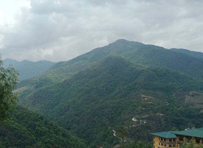
Today, there is a road that takes one to this pass. The construction of this road was started in 1972 and completed by 1976. This road was open to the public in 1988. The BRO (Border Roads Organisation) maintains this road today and it is the second highest motorable road in the world. The initial part of the road is paved but there are areas along the road that is mainly loose rock and dirt , partly caused by the extreme weather conditions of the area. All along the route we can see road construction work going on with heavy duty equipment maneuvering the difficult terrain.

Road to Khardung La-the second highest motorable road in the world

The difficult mountain road to Khardung La
As we drive along, we find a lot of adventurous bikers from all over the world on their way to Khardung La . Many of them have the national flag on their bikes giving a lot of patriotic feel.

A group of bikers on their way
One can see snow round the year at Khardung La but during the winter months and after sunset, the drive may be very risky due to frost leading to slippery roads.

Reaching Khardung La
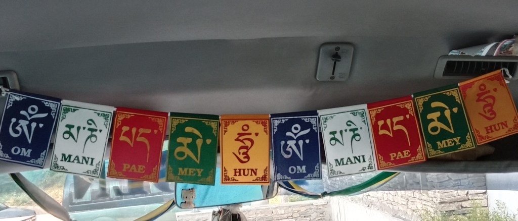
At Khardungla Top , the snow, the summit markers and colored Buddhist flags welcome us. The view from there is simply breathtaking with snow covered mountains all around.
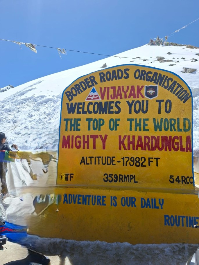
The milestone on the top

At Khardung La top


The amazing views from the top
And not to miss this cryptic message from the BRO…

A cryptic and meaningful message from BRO
The high altitude is a deterrent to spending more time here and after the photos and enjoying the views for some time, we came down to a less crowded spot to enjoy ourselves by playing in the snow.
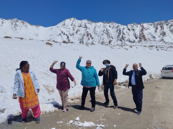
Playing with the snow
After some exciting time at Khardung La, we drove down to Nubra valley . More on Nubra valley later.
The other Himalayan pass that we traversed during the Ladakh trip was the Chang La.
Chang La
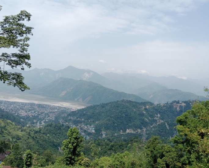
Located on the route to Pangong lake, Chang La has an elevation of 5391 mts (17,688 ft) and offers beautiful views of the Himalayan ranges. Chang La which means “Pass towards the South” is the third highest motorable pass in the world.
The drive to Chang La is equally challenging with steep , winding roads which have been damaged at places due to landslides and extreme weather conditions. Most of the road is asphalted but at places it is loose soil and stones.

The steep winding roads to Chang La
Interspersed with snow fields and azure lakes in the distance, the drive is heavenly indeed!!

The snow fields and azure lakes enroute
Click on the video for an experience of the drive…
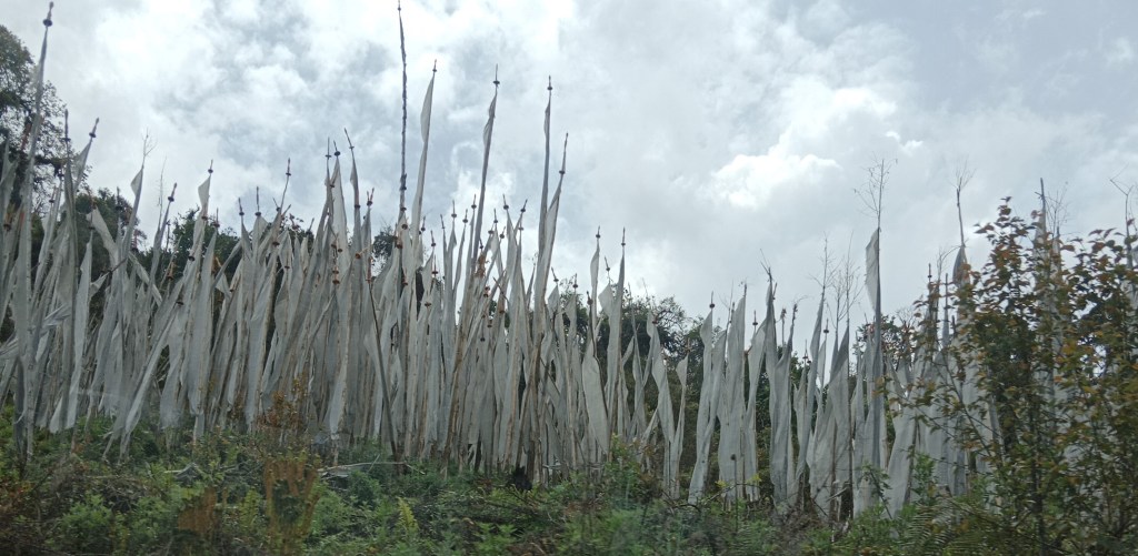
After this breathtaking drive we arrived at Chang La where the prayer flags and summit markers greeted us to wonderful views.
Some pictures from Chang La…
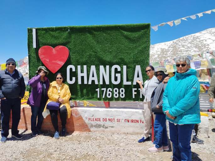
At Chang La

Our group at the Chang La summit marker
Right at the summit is a temple dedicated to a sadhu known as Chang La Baba.

Temple dedicated to Chang La Baba
The Indian Army has significant presence at Khardung La and Chang La. The most obvious reason of course is security. The passes are particularly vulnerable areas close to our borders and the security forces are on constant vigil and they also oversee the safety of the tourists arriving there.
There are many sign boards depicting the work of the Indian Army at the summits.

Another Message from The Indian Army
Problems of altitude
Due to the low oxygen saturation of the air in these high altitudes, breathing difficulties may be encountered and hence, we stayed there only for a few minutes. People with heart conditions and breathing problems must take proper medical advice and carry necessary medical supplies while traveling to these destinations.
Our vehicles were equipped with oxygen cylinders and necessary supplies during this trip.
Take a Bow
When we visit these areas where life can be a challenge at every point, we really feel indebted to the defence personnel manning these places. All along the difficult route small camps of the services can be seen. The personnel who work here stay away from their families and live through the extreme and unpredictable weather conditions with constant danger of the enemy. They do a lot of sacrifices so that we can live a peaceful life.
Apart from the main Defence forces, The Border Roads Organization (BRO) does a great job of building the roads and maintaining them. We are able to travel to these places only because of the great work they constantly do.
There is also a DRDO research station close to Chang La.
I hope the trip through the mountain passes was thrilling. See you next week from other destinations in enchanting Ladakh.
I close this episode with a sense of gratitude to the Indian Army and the allied services and with a sense of pride to be an Indian. Jai Hind.
Till then, do subscribe, like and comment.