Gulmarg: Ski Slopes to wildflowers

Welcome to the “Heartland of Wintersports in India”…..Gulmarg.

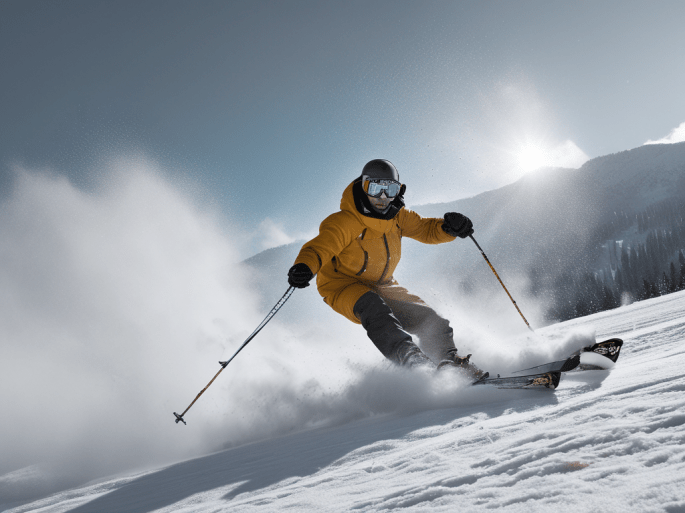
Winter converts Gulmarg into a sheet of ice and this is the time it becomes a skiers paradise…

Sheets of ice in winter

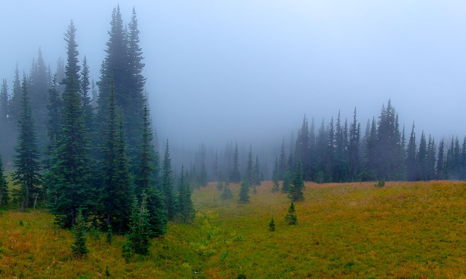
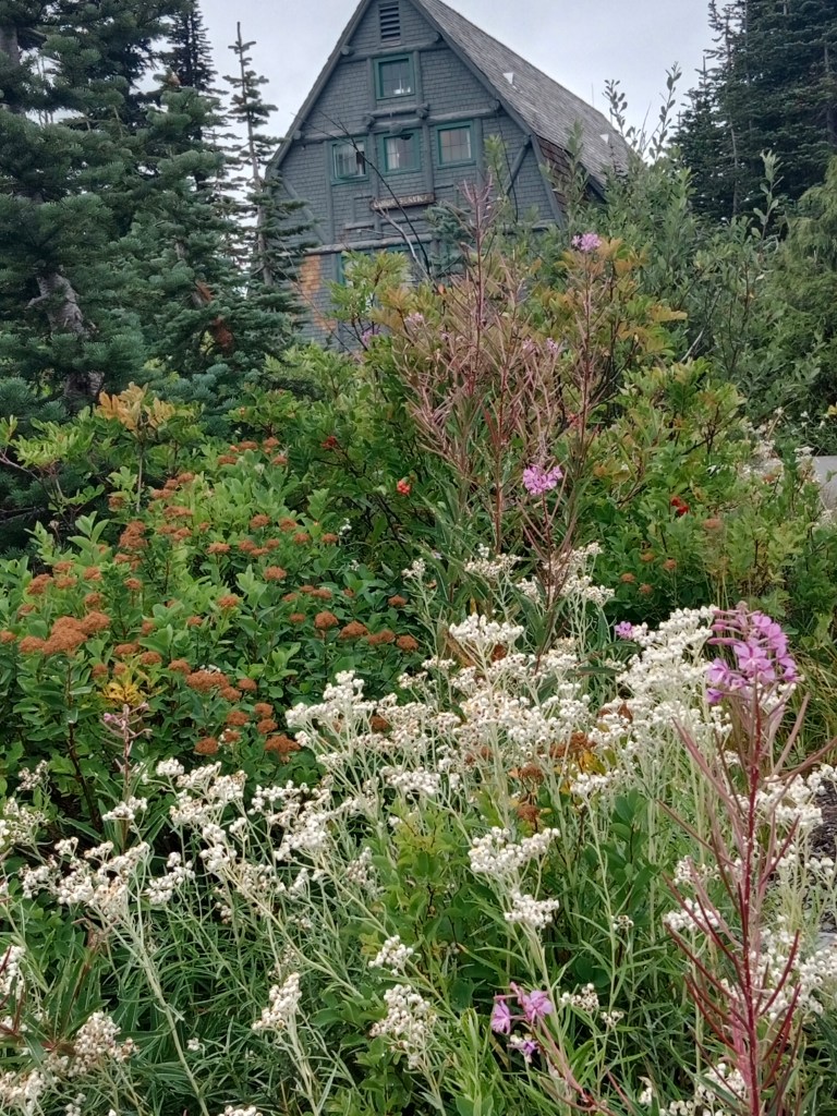
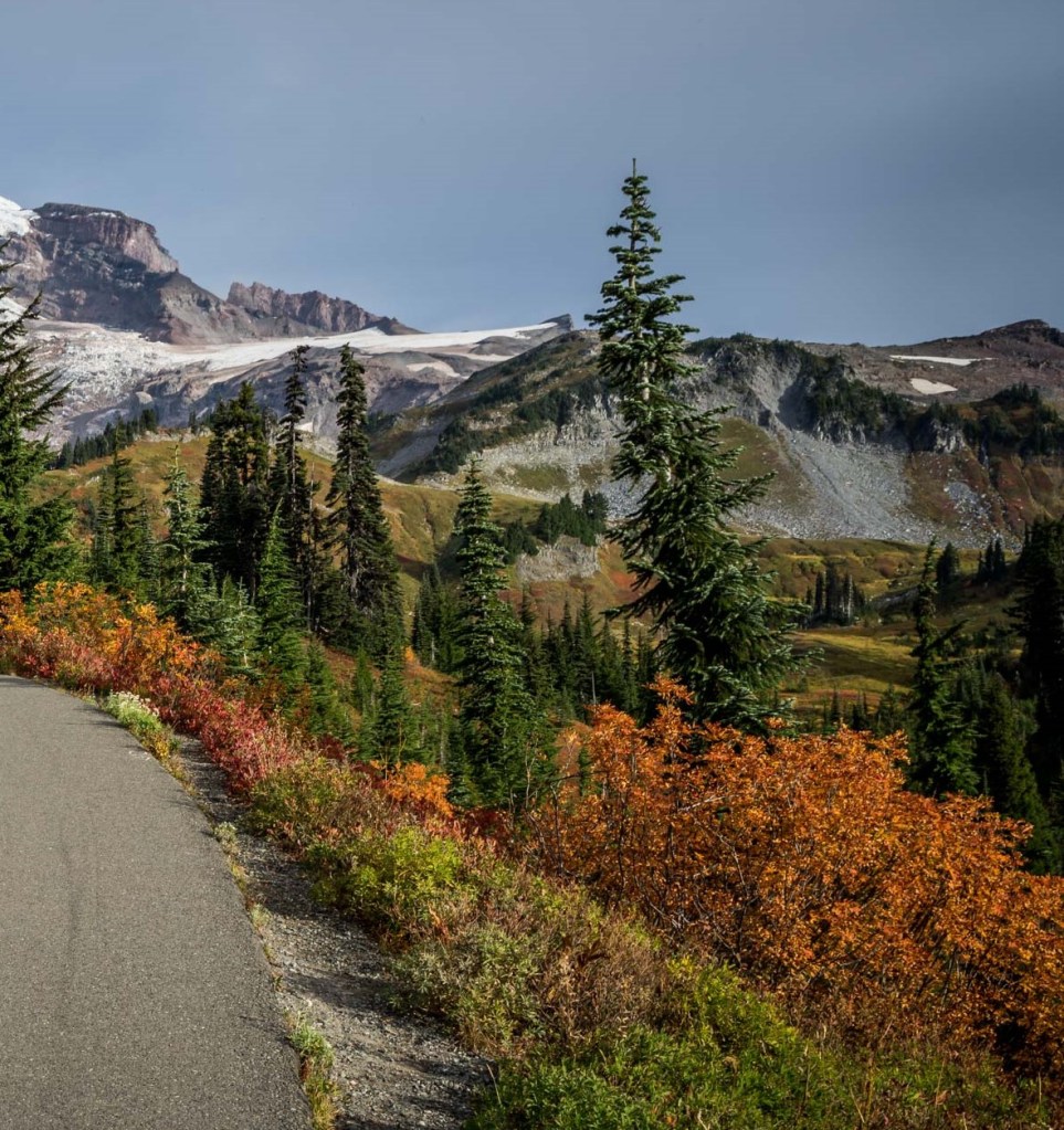
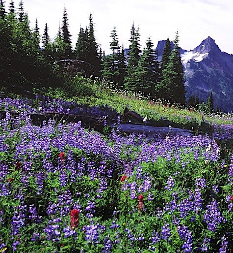
In contrast , summer brings out the blooms in the meadows justifying the name Gulmarg which means “meadow of flowers” in Persian . In spring and summer, the meadows of Gulmarg are covered with wild flowers.

A beautiful Gulmarg summer

Gulmarg….India’s Skimarg

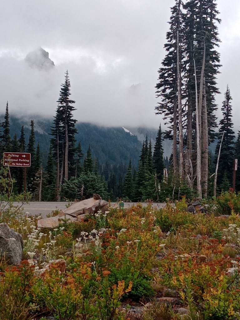
Gulmarg is about 60 kms from Srinagar and easily accessible by road from there.

Located in the Pir Panjal ranges of the Himalayas, its popularity as a ski destination is on the rise. The Institute of Skiing and mountaineering located here provides training to amateurs and professional skiers.

Gulmarg ski resort has world class facilities including forecasting, avalanche mitigation, rescue and first aid services.

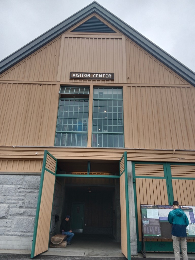
The Skiing Institute

Skiing

Gulmarg….A golfer’s dream

The British started using Gulmarg as a summer retreat. Golf was one of their favourite hobbies and three golf courses were established in Gulmarg ; one of them at 8690 ft is the highest golf course in the world. The first Golf Championship was played at Gulmarg in 1922 and since then it has hosted amateur and professional golf tournaments.

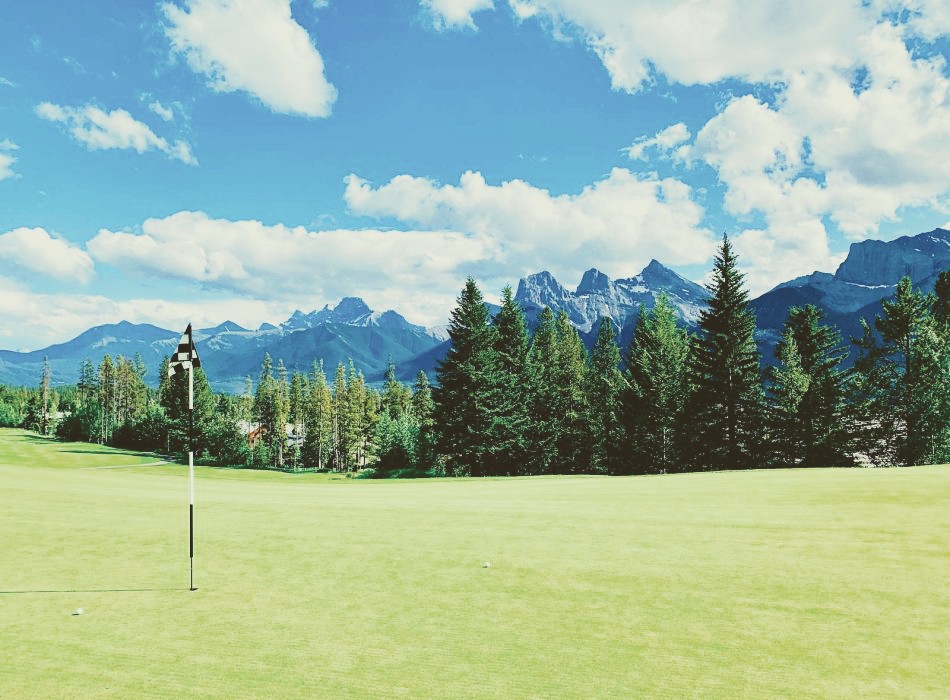
The green golf course

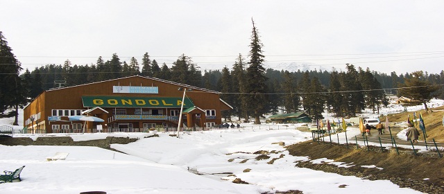
Gulmarg Gondola….highest in Asia

The highlight of Gulmarg is the Gulmarg gondola ,the highest cable car in Asia. There are different phases of travel in this Gondola. The first phase takes tourists to Kongdoori station at a height of 8530 ft and second phase to 12293 ft.
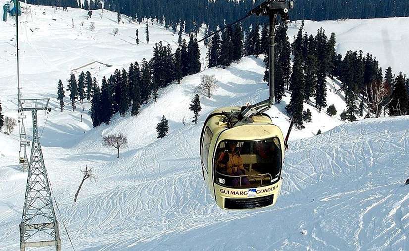
The Gulmarg Gondola

Horse riding is another activity that one can indulge in. Strawberry valley and Leopard valley are great riding destinations.

Our snow encounter at Gulmarg

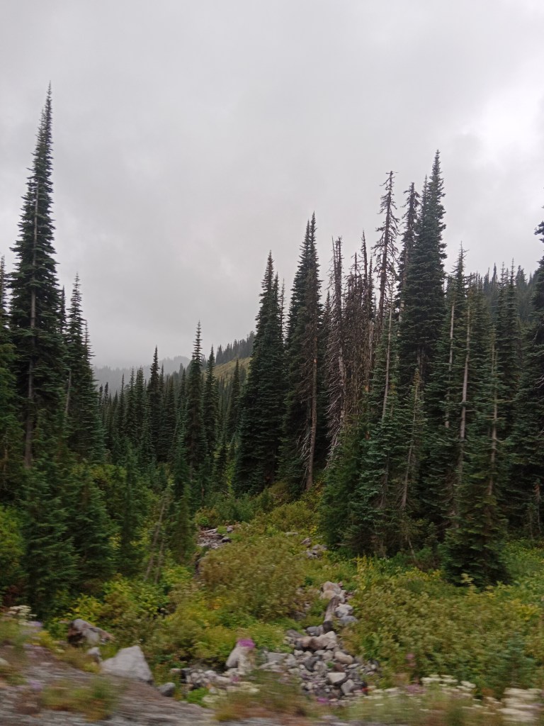
Driving down from Srinagar, we were treated to some great views of the mountains and valleys. As we started the ascent, Srinagar town could be seen below.

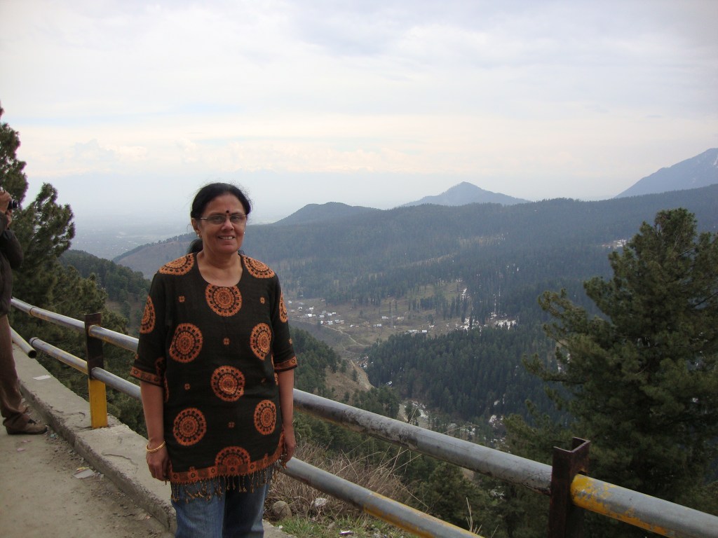
Views of Srinagar as we ascended

Just before we started the final ascent, we hired the snow gear for our snow encounter from one of the innumerable shops.

All ready with snow gear

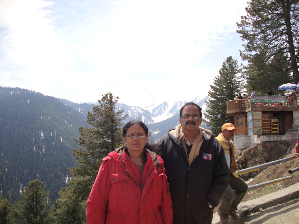
All ready to greet the snow, we continued our ride up to Gulmarg where some awesome mountain views greeted us….

Beautiful mountain views while reaching Gulmarg

View from the parking lot

Soon we were at the parking lot where we got dropped off by our driver. We wanted to ride the gondola and so we decided to walk up to the gondola station.

We could have also taken a sledge but we opted to walk up to the gondola station. Sledges are pulled by men and that was something sad ; the struggle for survival!!

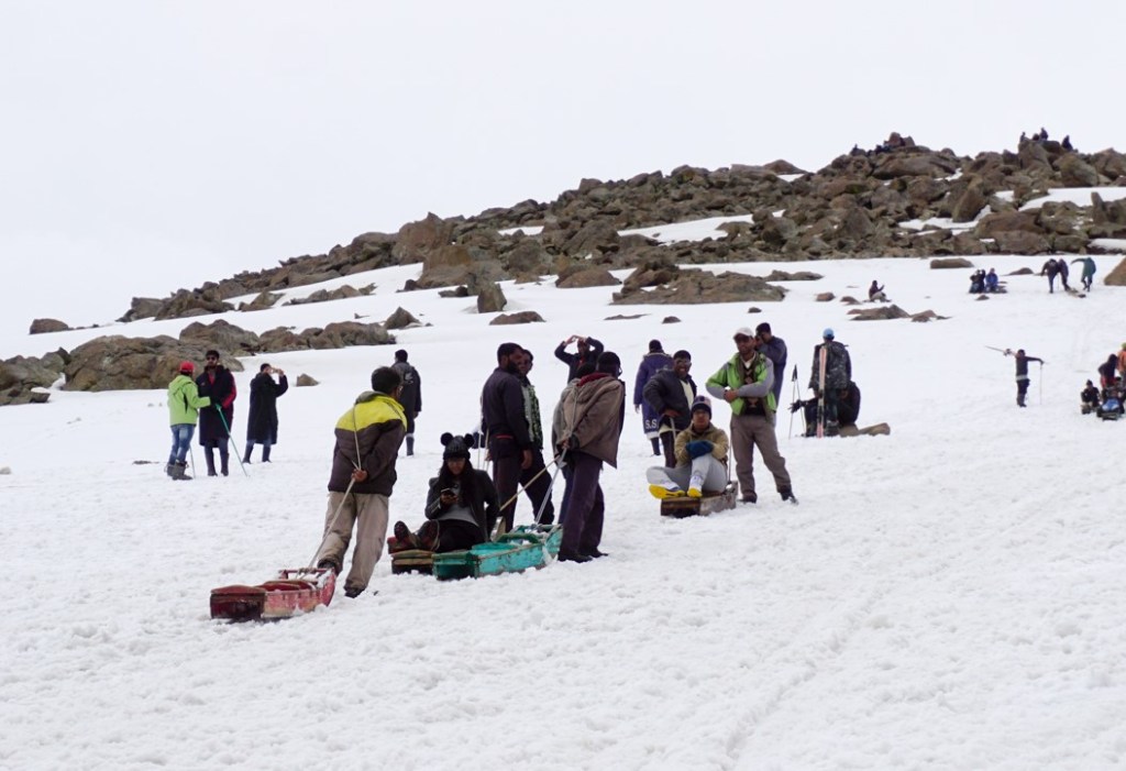
Sledges to the gondola station.

Gondola starting point

After we purchased the tickets we joined the queue to board the gondola. Once we boarded, it was an awesome sight as we started ascending . The cable car kept passing in between pine trees which seemed to have sprung up from a sheet of snow. A short video for you….

The cable car moves along….(click on the video)

Some pictures from the gondola…

Views from the gondola

Soon we were at the phase one gondola station where we alighted. There is a small cafe here but the main activity is playing in the snow. We also enjoyed ourselves sitting on snow and aiming snow balls. The gondolas proceeding to phase two were also visible from here. Some tourists were trying their hand at skiing too.

At phase one.

The gondola pillars and skiers can be seen in the background.

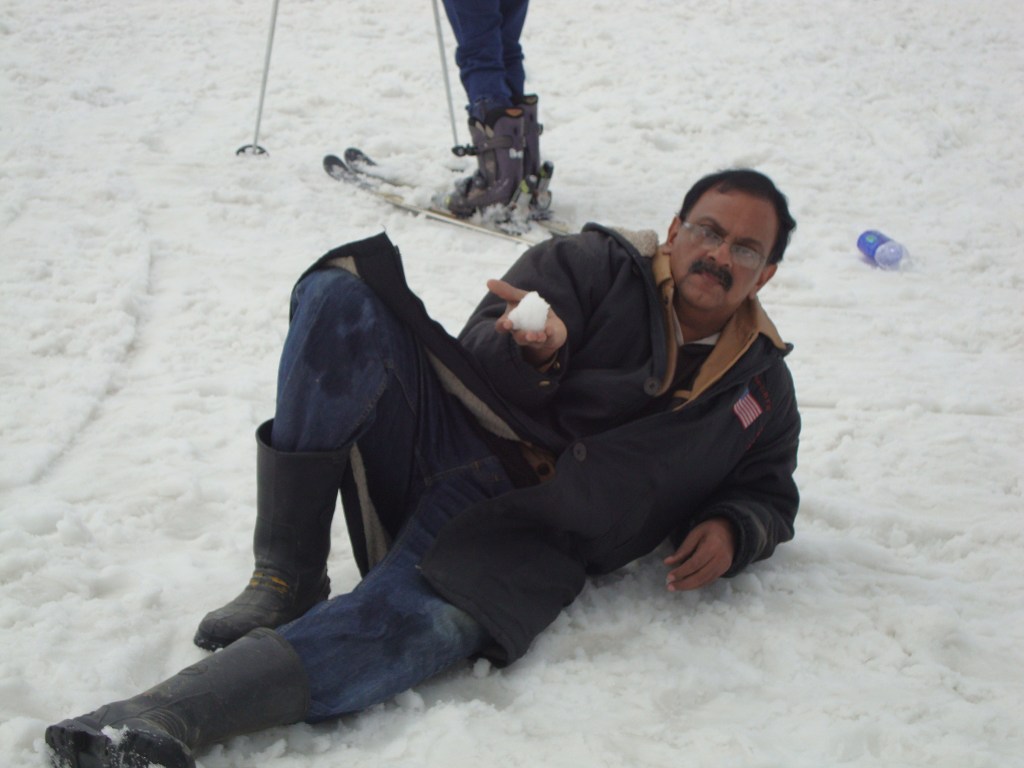
Playing with ice balls

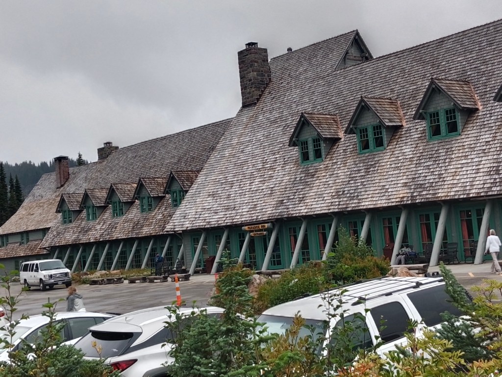
After thoroughly enjoying ourselves in the snow, we wanted some warmth and rushed to the cafeteria where we had some hot tea and snacks.

Returning to the gondola, we boarded it for our trip down hill. Walking up from the gondola station, we met our driver and returned to Srinagar.

Book Gondola tickets online

Visitors to Gulmarg should book their gondola tickets online before starting the trip as it is almost impossible to get tickets across the counters now. Bookings are now online unlike a couple of years back when we visited the place. Tickets get full months in advance specially if you are traveling for the tulip festival.

Well, that sums up our Gulmarg trip and marks an end to the series on Kashmir which I hope all of you enjoyed.

Next week I start a series on The Nilgiris, the famous blue mountains of south India.

See you there…

Till then, do comment and give your feedback. I have also added a star rating below…please give your ratings…

From this week, I am adding a Viewer’s Corner

Viewer’s Corner

Can you share your experiences at Gulmarg? That would be great…You can put it in the comments section.

Rating: 0.5 out of 5.

Paradise and Mt Rainier

In the last episode, I had promised to take you to a special place called Paradise. That’s where we are today. We reached Paradise around noon during our drive through Mt Rainier National Park.

Paradise

This is an area on the south slope of Mt Rainier at a height of approximately 5400 ft. It is the most popular destination for visitors to the Mt. Rainier National park. It lies in the Paradise river valley.

Paradise features subalpine meadows, the Jackson Visitor Centre, the historic Paradise Inn and offers epic views of Mt Rainier.

Paradise is also the primary winter-use area in the park receiving 643 inches of snow on an average every year making it ideal for winter activities like snowshoeing, cross country skiing and sledding . It is often called the snowiest place on earth where snowfall is measured.

Why is it called Paradise?

For those of you who have not seen the previous episode, James Longmire was an American explorer who ran a homestead in the Rainier area .The mineral springs near the homestead were claimed to have medicinal powers. Subsequently the homestead was convereted into a museum at the place called Longmire inside the Rainier National park.

The sub-alpine wild flower meadows and the breathtaking views from here made James Longmire’s daughter in law to exclaim “Oh,! What a Paradise”. The word Paradise stuck to the place and hence the name.

Some pictures….

Now you know why it’s called PARADISE…..

Visitor Center

The Visitor center at Paradise offers general information on the park and its features. A documentary film on the park keeps running and one can join in and get a glimpse of the changing faces of the park as the seasons come and go. There are exhibits here of the unique flora and fauna of the place and also the indigenous people.

The visitor center

There are various trails that start from near the Visitor Center which takes one through the alpine meadows of Paradise with great views. Some of the trails are…Nisqually vista trail, Skyline trail to myrtle falls, Alta Vista trail etc.

As per Mark’s (our guide) advice, the trail to Myrtle falls seemed more doable and we followed that trail. Some views from this trail.

Some pictures from the Myrtle falls trail with the sun playing hide and seek

The other architectural beauty at Paradise is the Paradise Inn.

Built in 1916, this is a National Historic Landmark in the Paradise area. It is basically an inn and provides accommodation with great views of Mt Rainier. It also has a restaurant for visitors from outside. The interiors are done up with an old age charm that adds to the beauty. Some pictures…

The exterior of Paradise Inn and the outdoor restaurant

The interiors with old world charm

The day had been cloudy and drizzly and Mark had prepared us to have no views of Mt Rainier. He said, you can be on the mountain and still not see it. But there is much more to be seen and done along the route and we should make the most of the situation.

But the sun did not disappoint us. He did come out for a few minutes to give us fleeting views of Mt. Rainier.

A fleeting view of Mt. Rainier from in between the clouds….

What it would look like on a more favourable day…(courtesy pexels)

The clouds soon overwhelmed the sun and we were thankful that we got that fleeting glance!!!

I must tell you here that I had been lucky to see Mt Rainier earlier on from a flight in 2019 heading to Portland.

That brings us to Mt Rainier and its specialties

Mt. Rainier

This mountain range is located just southeast of Tacoma – Seattle area and can be seen from there on clear days. Locals call it Mt Tahoma or some even refer to it as “The Mountain”

Mt Rainier from Seattle on a clear day

This tallest volcano in the Cascade Mountain ranges in the state of Washington in the United States is a paradox in itself.

What is this paradox?

Well, what we see from down below is a snow covered peak which makes its appearance from behind the clouds every now and then as if playing hide and seek with us. But far above, at 14,410 ft. , at the summit, steam escapes from deep inside the mountain’s core reminding us that it is still an active volcano. The mountain rises abruptly from the surrounding land which comprises of valleys, waterfalls, meadows and vast expanses of old growth forest.

Though the mountain may convey a sense of permanence; it is anything but that! More than 25 glaciers descend the mountain flanks . These are constantly in a state of flux and rivers flow down its rocky slopes transporting water and debris down the mountain and often wreck havoc with roads and facilities in the wilderness area surrounding it.

Subalpine meadows remain covered under several feet of snow in winter and yet spring up blooms when spring arrives. Mt Rainier region has been often described as one of the best places to view wild flowers. The long period of snow covered soil, leaves a very short period in summer for these dramatic blooms in and around Paradise. The rivers, lakes, falls and snow can be found elsewhere but not those wild blooms.

Wild flowers…a riot of color

One of the most dangerous volcanoes

Amidst all this beauty lies a constant threat to the residents of nearby areas. It is listed as a Decade Volcano and is constantly being monitored for safety. Seismic monitors have been set up at the park and on the mountain itself. Typically around 5 earthquakes are recorded near the summit on a monthly basis .Mt Rainier lies on the Pacific Ring of Fire which includes many volcanoes in California, Oregon, Washington and British Columbia.

In addition to that, the glaciers of Mt Rainier can generate mudflows ( lahars) that can cause damage to places lying on its path. These flows can occur anytime independent of a volcanic eruption.

Mt Rainier once stood at about 16000 ft before a major mudflow around 5000 years ago. This massive avalanche of rock and ice shed off 1,600 ft of Mt Rainier bringing its height down to 14,400 ft. This mudflow is said to have reached all the way to Tacoma and south Seattle. In fact Tacoma and some parts of Seattle are now located on the mud flow deposits from that massive lahar.

Summiting Mt Rainier.

An estimated 10,000 climbers attempt this summit every year on an average. It is one of the most difficult climbs as it requires traversing glaciers and weather can often play spoil sport. No wonder then that the success rate stands at 50%.

Well, they say difficult roads lead to beautiful destinations….

This is true of this entire area of Mt Rainier National park which I have covered over two episodes. Reaching there is difficult and the climate can be very fickle with sudden changes that require change of plans. To avoid disappointment , an alternative plan B should always be ready when you plan to visit this area .

With these thoughts, I end for the week. Do give your feedback and comments.