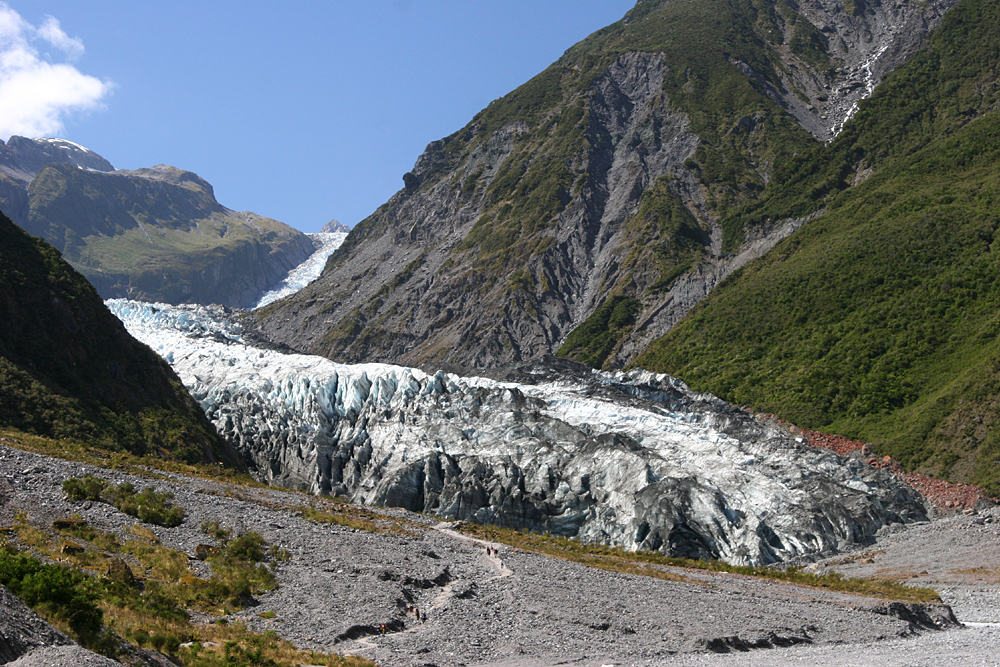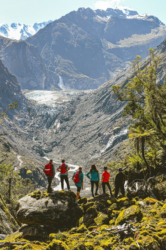
Have you thought about this? There is a continent which varies in area from time to time. Well…that is Antarctica; its borders change as per the freezing and thawing of its shores!!
Let us visit this unique continent today….first at the International Antarctic Centre in Christchurch and then through some pictures of life in Antarctica!
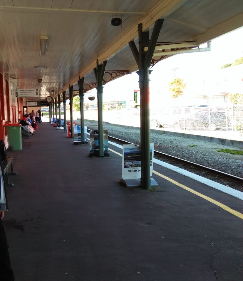
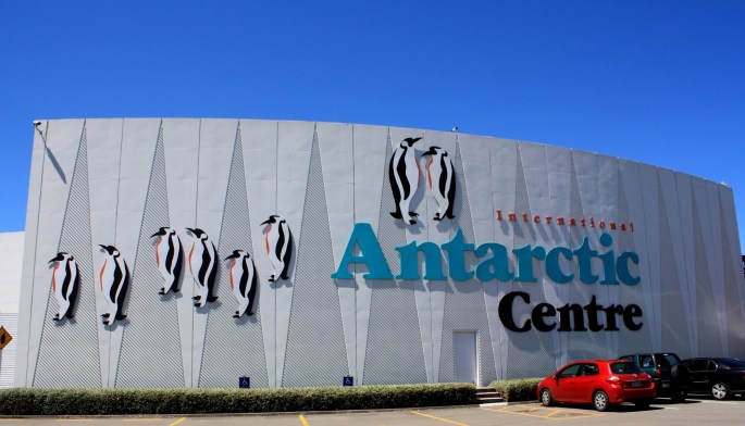
International Antarctic Centre
Located right next to Christchurch International airport, this center is one of the major tourist attractions in Christchurch. It provides visitors of all ages with an interactive, fun and exciting experience of Antarctica. This center is home to the Antarctic programs of New Zealand, United States and Italy and houses their administrative offices, the Antarctic Passenger Terminal and a Visitor Centre. Christchurch is geographically closest to the Antarctic and hence this connection.
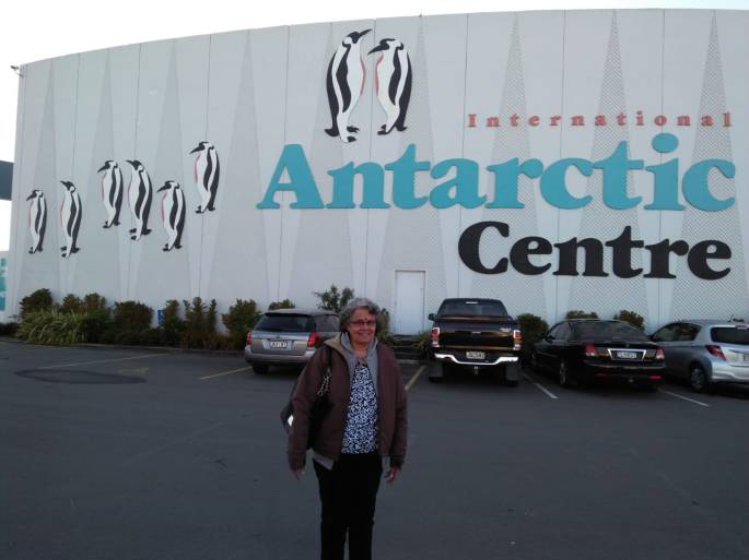
At the entrance of the International Antarctic Centre
The center keeps you captivated from the moment you enter.
As we walked into the center, we got a feel of being in Antarctica. The interiors are inspired by the special landforms of Antarctica such as icebergs and glaciers. On display are the conditions of the Antarctic base and information received on that day from the Base Station in Antarctica.
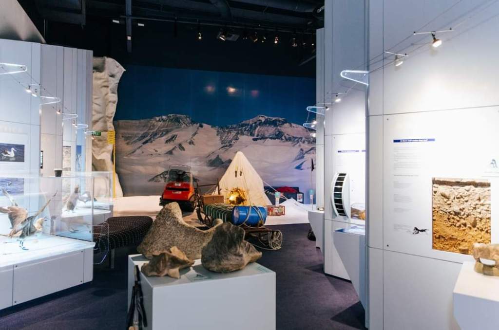
Exhibits
There is a light and sound show of the Antarctic’s seasons where it snows every few minutes….
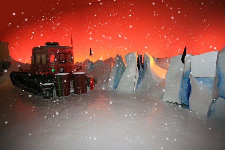
The seasons in the Antarctic
Experiencing a snow storm in Antarctica….that’s what the storm dome maintained at -8 deg C here does to you. We entered the dome wearing thick jackets and a simulated snow storm put us through a -18 deg C feel with heavy winds lashing around. Was little frightening….I must admit! There is an igloo here which you can enter .

Inside of the Storm dome

Ready for the snow storm
Polar plunge is where you can challenge yourself to see how long you can hold your hand in the icy cold Antarctic water.
Hagglund Field trip
Polar conditions require special vehicles that can ride on ice and there is a vehicle here called a Hagglund that is actually used in Antarctica.
We buckled up for a ride of our life on a road simulated like the rough Antarctic surface in this unique and all terrain amphibious Hagglund. Needless to say, it was a real bumpy and jerky ride!!
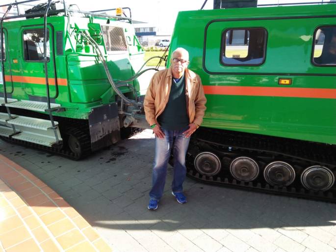
The Hagglund
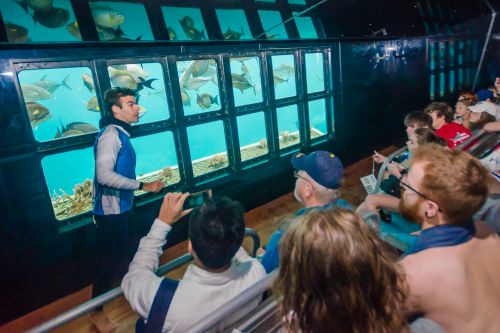
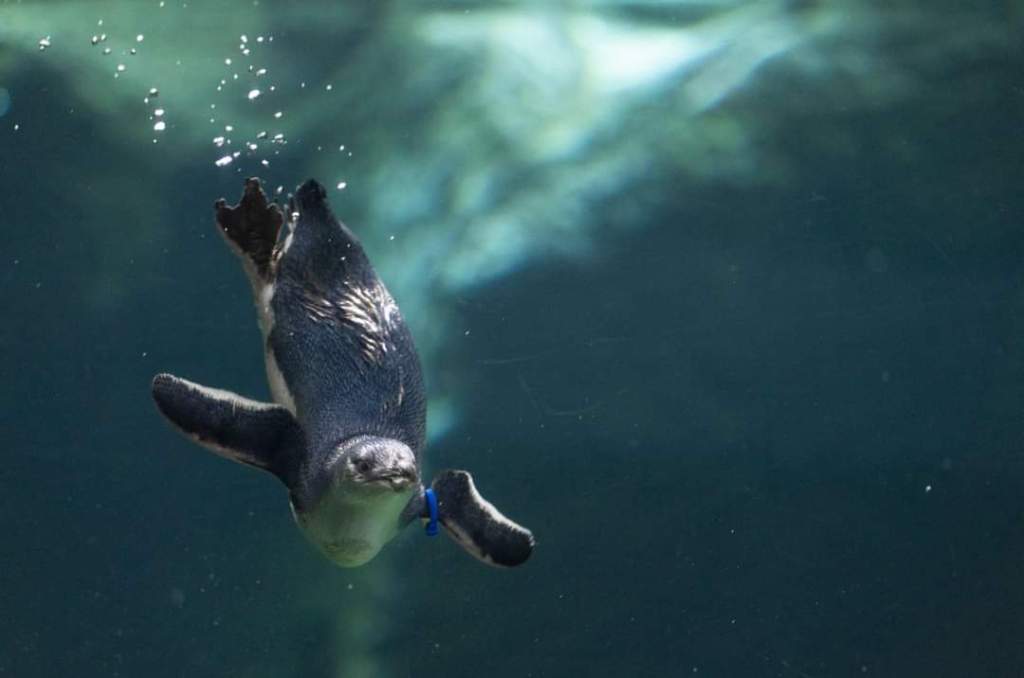
Penguin Encounter
Here we saw the little blue penguins in their natural environment. There is a penguin feeding live demo also where the little ones are fed regularly. The penguins here are the lucky ones actually because it is a penguin rescue center where abandoned and wounded penguin babies are nursed back to health.
The penguins in their natural environment
Live demo of penguin feeding….click on the video
Ice Voyage is an exciting 4D experience that will take you on a simulated cruise across Antarctica.
“Beyond the frozen Sunset” is a short movie that takes you through a seasonal arc with stunning images.
Apart from the tourist activity, the Antarctic Center is also a full fledged support center for the Antarctic base stations of the US, New Zealand and Italy. All logistical support to their individual base stations is provided from this center. This makes the center a vital link for all scientific work carried out in the centers in Antarctica.
Support Centers for individual base stations
Many countries have their base stations in Antarctica including India. These base stations have scientists who carry out various research activities. The base stations are manned by scientists and essential support staff. There are support centers for these base stations located in different countries which are closest to the respective Antarctic base stations.
The following map will explain this:

Map showing support centers in various countries.
The support center for the US, New Zealand and Italian Antarctic scientific expeditions is located in Christchurch at the Antarctic Centre as their stations in Antarctica are closest to Christchurch. The support center for the Indian Antarctic base station is located in Cape Town . Scientists and other personnel going to the Indian station will go via Cape Town. That is a broad outline on how these logistics are managed.

The Support center for the US Antarctic Program
After all these experiences, one almost feels transformed to Polar territory.
The Gallery offers a host of interactive experiences ranging from tactile to visual , leaving one enriched with information.
Glimpses of life in Antarctica….
As I walked through these experiences, I was reminded of my medical college classmate and close friend who has experienced all this in real time. Introducing you to Polar Woman…Dr Madhubala Chinchalkar. An anesthetist by profession, she was the doctor accompanying the 36th Antarctic Scientific Expedition from India between 2016-2017. An extremely tough and gritty lady, she has spent one winter in Antarctica standing up to all the trials and tribulations that this icy continent offers.
Some pictures she has shared with me…to give you a perspective of actual life in Antarctica!

Dr Madhubala with the Indian base station MAITRI in the background
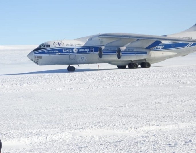
ALCI…Antarctic Logistic Centre International a 72 seater Russian cargo flight that operates from Cape Town and Novo air base in Antarctica in summer
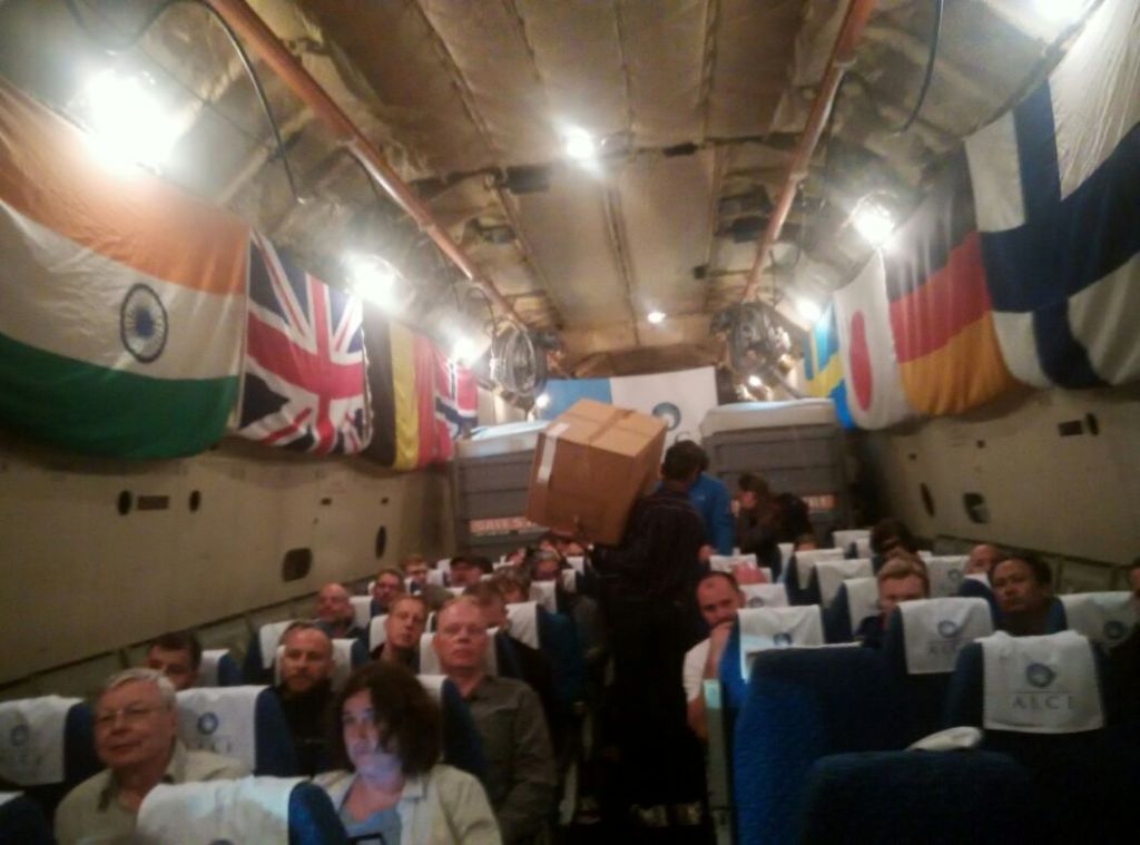
The inside of the aircraft with the national flags of all countries whose scientists are traveling
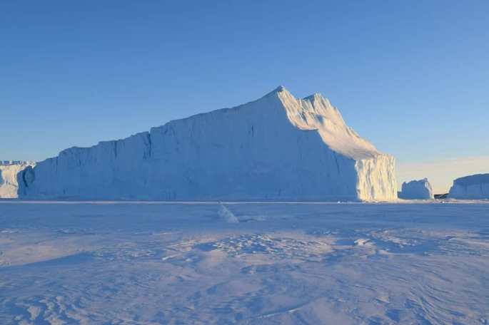
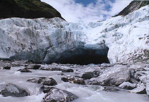
An ice shelf in Antarctica
Antarctica has just two seasons, summer and winter. It has 6 months of daylight in summer and 6 months of darkness in winter.

Full moon during polar night in Antarctica

The vertical crescent moon ….unique to the polar regions.

Aurora Australis a natural light show seen in polar regions

The Independence day celebrations at the Indian Antarctic base station Maitri
She has also made a short documentary film on life in Antarctica . This film And Skua Returned Early has received several awards. It dwells on the impact of climate change on this continent. Skua is a bird that comes to Antarctica in summer and thus heralds the onset of summer in Antarctica. The early return of the Skua signifies the early return of summer….an ominous sign of global warming.
For those of you who are interested to know more on this, I will share the link to this film..
I am sure this short diversion from the Christchurch center to the actual life in Antarctica would have kindled some curiosity about this continent in some of you at least. The short film will help answer many of your questions.
With this, I wrap up my visit to the Christchurch centre but not before I bow down with respect to the scientists who work there under very difficult conditions…
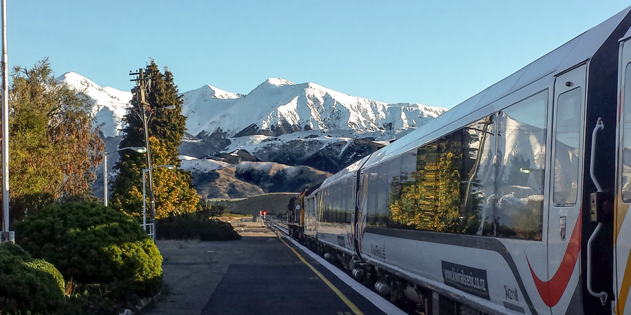
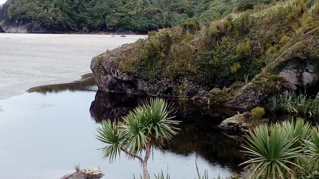
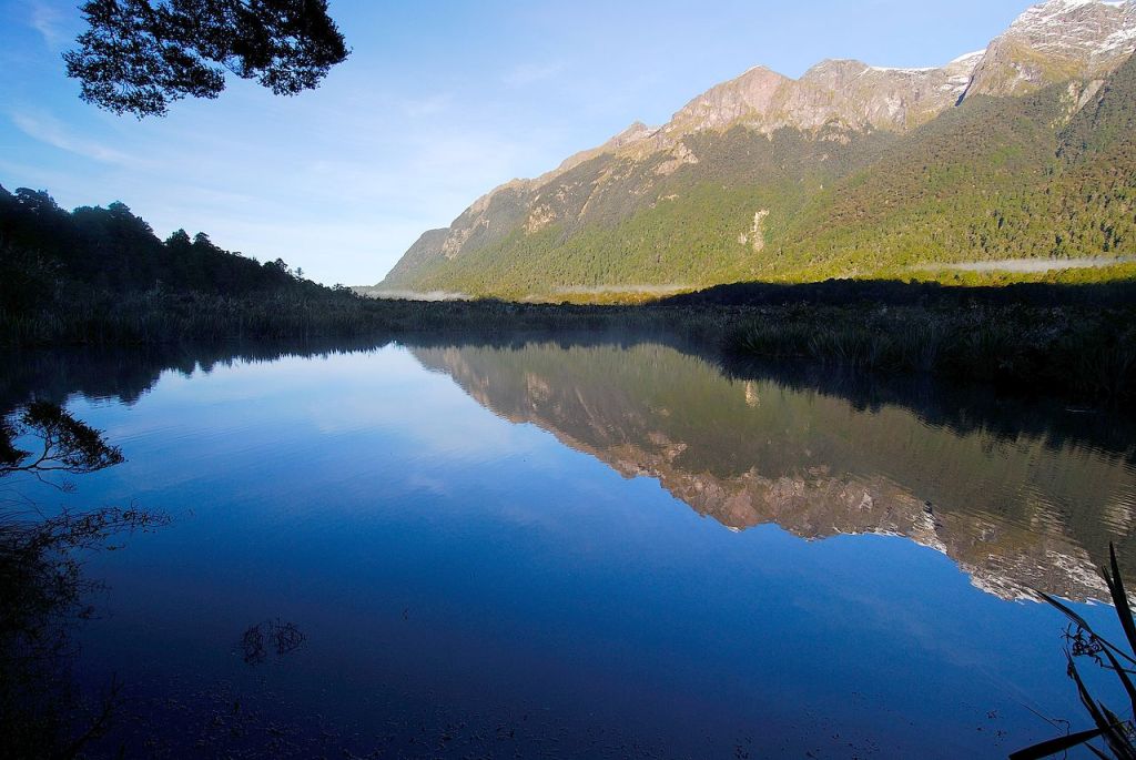
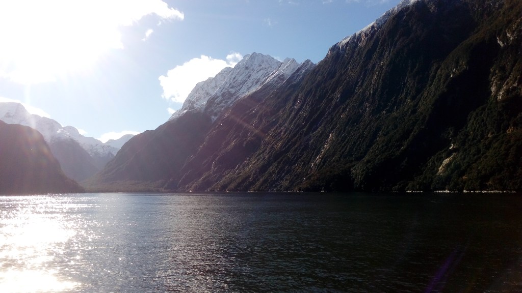
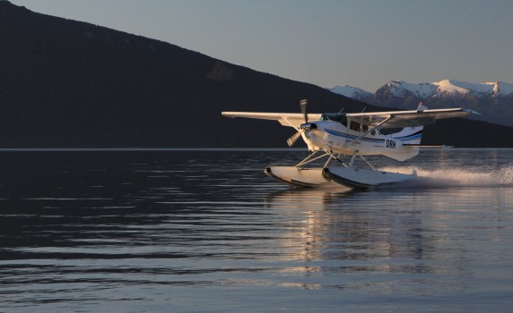
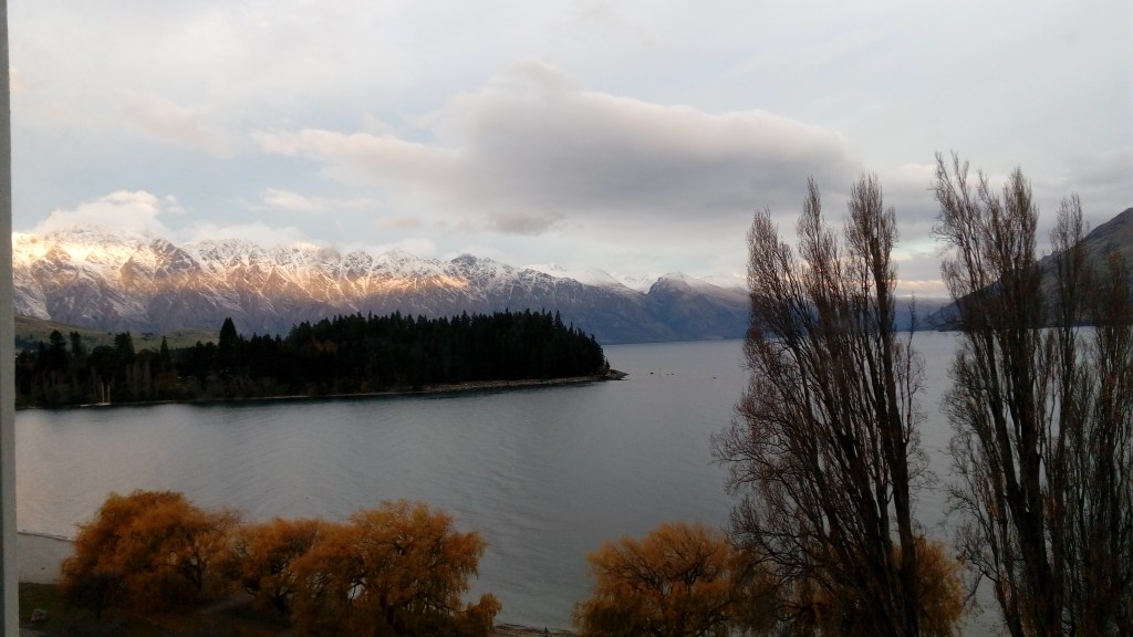
We now move from the South island to the North island of New Zealand .See you next week on the Interislander…a ferry that crosses the Cook’s strait and takes you to North Island.
Till then, keep your comments going and do subscribe below: