
When it comes to scenic road trips, few can compare with the beauty and diversity of the drive from Queenstown to Fox Glacier. This drive takes you past some beautiful glacial lakes, along the banks of glacial rivers, across some rapids, on the passes of the Southern Alps, along the coast of the Tasman Sea and finally reaches glacier land. Can you ask for more variety?
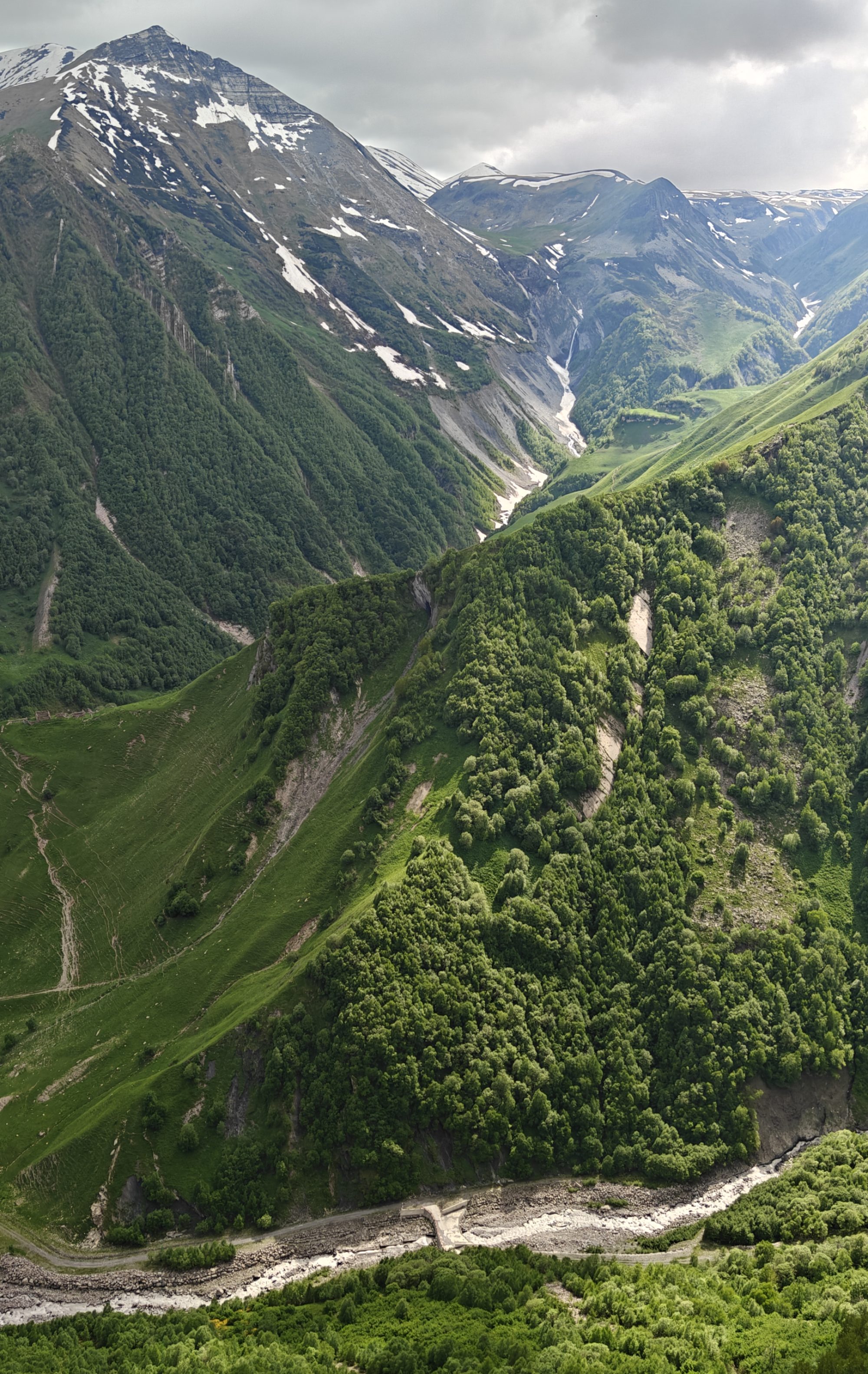
The Haast Pass is the unofficial name of the road from Wanaka along the Haast river to Haast town. It is also called State Highway 6 . This Pass road is around 140 km long and is located in the Southern Alps in the South Island. A mountain pass at an elevation of more than 1800 ft above sea level, is said to be one of the most scenic alpine routes in New Zealand. Located in Mount Aspiring National Park, it a must do journey; but is also a test for the vehicle and the driver alike. It has many curves and bends and many one-lane bridges and is dotted with slip hazard warning signs! There are no settlements on this road. This is claimed to be the route that the Maori followed in their search of green stone or jade which they called pounamu.
The real Haast Pass is located halfway along this route.
The journey offers a variable landscape of rainforests, wetlands, lakes, rivers and rapids. This road snakes its way to innumerable adventures that lie in wait to be discovered. During winter this road is prone to snowfall and it is best travelled on outside the winter months. Very heavy rainfall also results in road closures here and it is required to keep track of this before travelling.
Our Trip
We were essentially travelling from Queenstown to Fox Glacier. Since we wanted to combine this road trip with some sightseeing on this scenic road we booked on a Great Sights bus.
As we left Queenstown, we had some great views of Lake Wakatipu from another side. Some pictures to enjoy…

Lake Wakatipu
After leaving Queenstown, our first halt was at Wanaka.
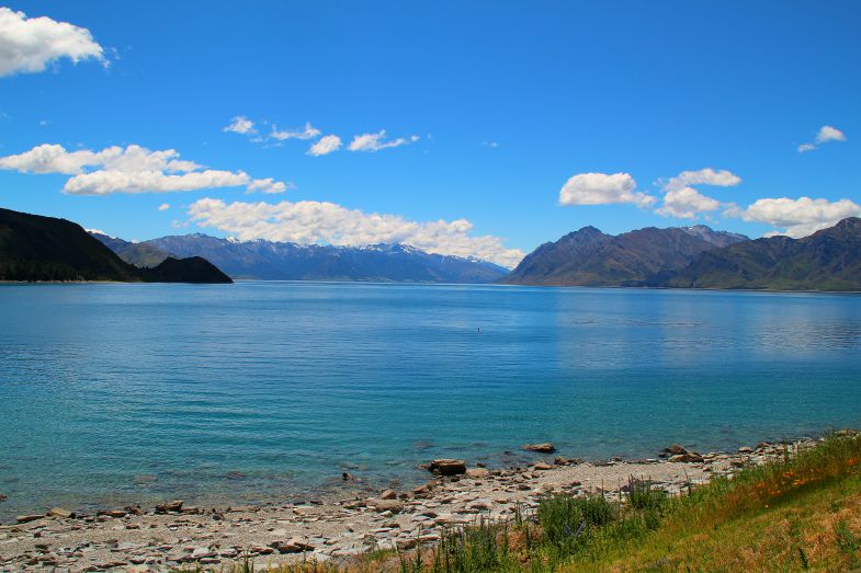
Wanaka
A popular ski and summer resort town in South island set on the border of a lake by the same name, is picturesque! It is the gateway to the Mount Aspiring National Park which is a wilderness with glaciers, alpine lakes and forests.
Some pictures…


Some views of Lake Wanaka

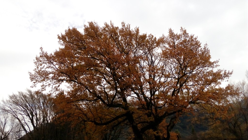
The Beautiful town of Wanaka in Fall colours
Further down the road was another beautiful lake…Lake Hawea.
Lake Hawea
Lake Wanaka came into view once again and the road followed the side of Lake Wanaka. Then came the small town of Makarora. Named after the river Makarora, there is a famous cafe where we had a small break.
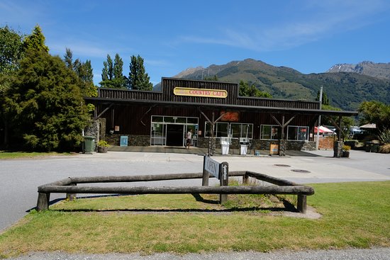
Makarora Cafe
Driving further on the highway, we crossed the Makarora river.
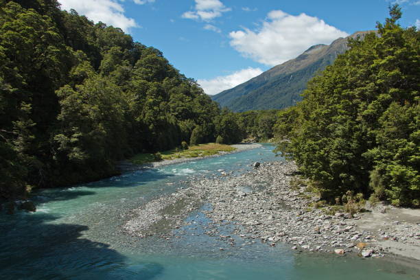
Makarora River
This river starts at Mount Aspiring National park and flows into Lake Wanaka after passing Makarora town. It meets the Blue river to form the famous Blue Pools which is about 30 minutes walk from the highway. We did not do this trek but it is an awesome place where there are hanging bridges to view the blue pools. The river attracts recreational activities like fishing, kayaking and jetboating.
These rivers have a peculiar blue color as they are fed by glaciers and there is minimal pollution.
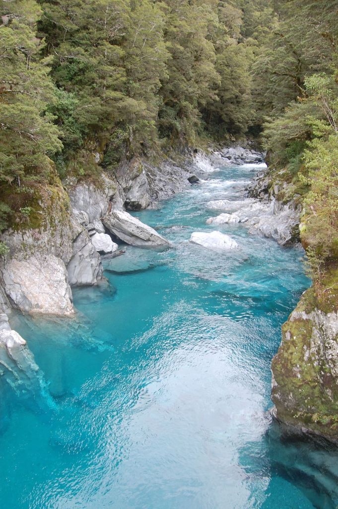
The Blue Pools
There is a famous campsite called Cameron Flat further down the road. Many campers use this site to park and explore the Makarora river, Blue pools and surrounding areas.

Cameron Flat Campsite
As the drive continued further we were alongside the Makarora river for a considerable amount of time. Then came another beautiful glacial river….the Haast River.

Haast River
Further on the highway we crossed the actual Haast Pass.
This is a mountain pass in the Southern Alps used by the Maoris in the pre European times.

Haast Pass
We also crossed The Gates Of Haast. These are a series of rapids on the Haast River and can be seen from the bridge as one passes it.
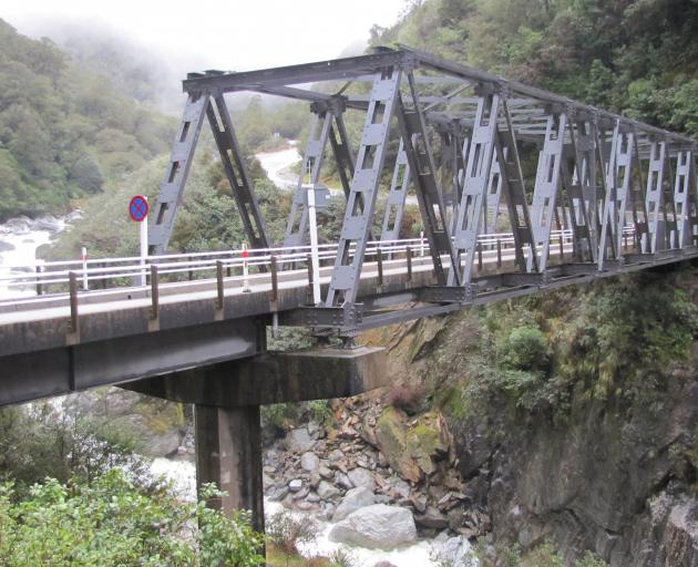
The Gates Of Haast
As we drove along, we came to Thundercreek Falls; one of New Zealand’s highest falls.
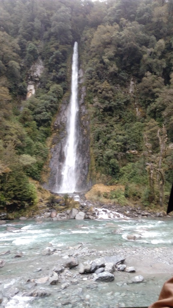
Thundercreek falls
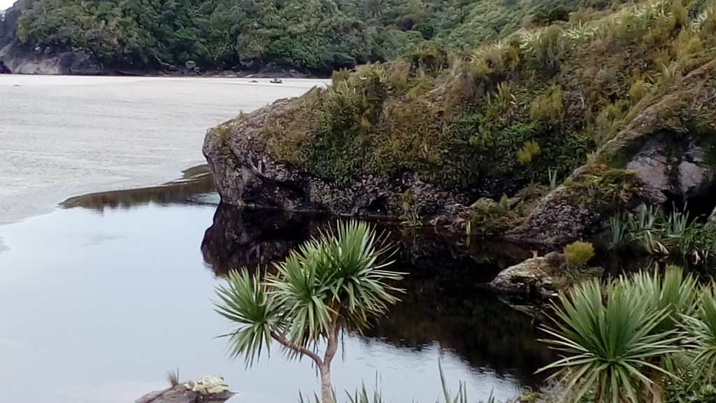
As we passed Haast town, the coastline became visible and it was a sudden change from the forests and rivers to the open sea.
Ship Creek
The beach at ship creek has logs of driftwood all over the sand. Besides there is a boardwalk on which one can walk along and see the beautiful reflections on the still waters. There is a small watchtower here from which the reflections look more impressive.

Driftwood at shipcreek
Reflections at ship creek

Ship creek beach

The rainforest and its reflections at ship creek
Knight’s Point is a lookout point that provides spectacular views of the ocean. The rock formations seen in the ocean at this view point are unique.

Knight’s Point lookout
Salmon farm
Salmon farms dot the coastline of South Island . Salmon farms rear different varieties of salmon .Most of them have a cafe and we stopped at one such farm for lunch.

Cafe at the salmon farm

Salmon rearing ponds
From here on the landscape gradually changed and the valleys were replaced by glacier land…..reaching Fox Glacier.
In true Kiwi hospitality style, the bus driver dropped us off at the Hotel and arranged for Murray a local driver for our next day’s programs. After some settling down, we explored Fox Glacier town and had dinner at a local cafe and returned to the warmth of the room.
Next day, we visited Lake Matheson and Fox glacier. Next week I will take you to the glacier. Till then, keep reading, commenting and do not forget to subscribe below
