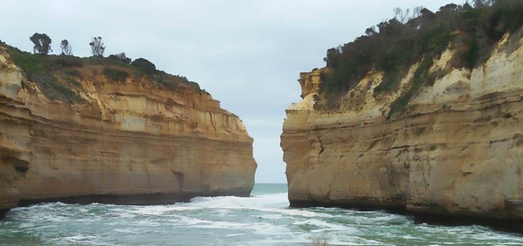

One of our most memorable trips…the visit to Philip Island to see the little blue penguins.
We started the day with a visit to Moonlit Sanctuary.
Moonlit Sanctuary:
A Wildlife Conservation Park located in Mornington Peninsula , about an hour’s drive from Melbourne; it aims to display native Australian fauna . It has many animal enclosures, as well as many native Australian trees and plants. It also engages in conservation breeding of endangered species.
Here we fed the Kangaroos and wallabies, posed with the koalas and saw some exotic birds, reptiles and dingoes. There are keeper presentations throughout the day when one can learn more about these species.
I had a small encounter here with a kangaroo which got upset with me when the feed was over and started lashing out for more feed. Sure enough , one of the keepers came to my rescue….much to my relief!!!

The angry Kangaroo!!!

A parakeet

The Tasmanian Devil
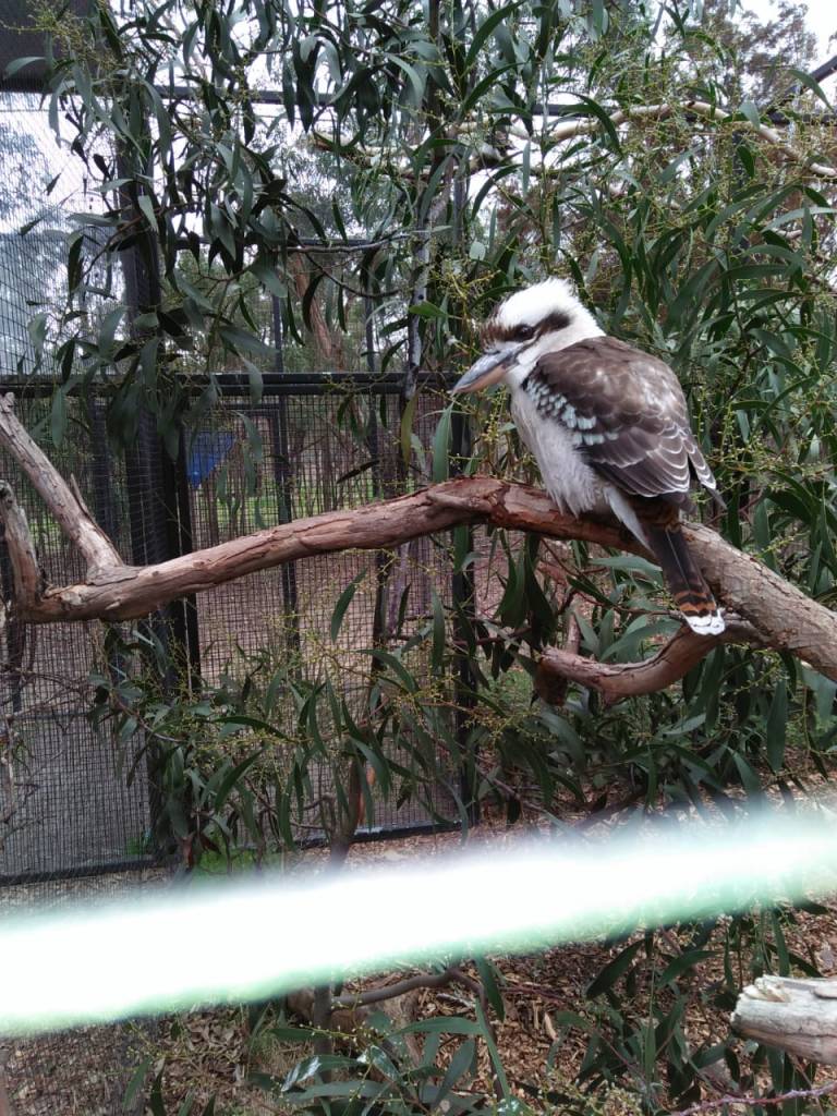
The Noisy Kookaburra

A Koala
After lunch, we set out to our next destination ; Churchill Island; the site of the first European garden in Victoria state. It contains a working farm, cottages dating from the 1860s and a homestead, all fully restored and open to the public. It is connected by a bridge to Philip island.
The Boonwurrong people who were the traditional people of this area, inhabited this island much before the Europeans arrived.
There is a farm and vegetable garden here where one can explore the heritage farming activities . There are sheep shearing shows conducted which we attended. Any one interested could try their hand at milking the cows!There were plenty of geese and other poultry here…all part of the farm. Surrounding the farmland, there are historic gardens that complete the heritage feel of the place.
Some pictures..

The heritage farm cottages

Animal enclosure
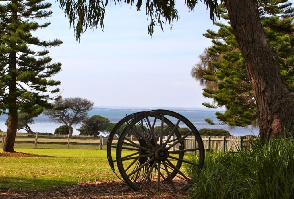
The open gardens overlooking the sea

Sheep shearing
From here we proceeded to The Nobbies
This is essentially a collection of rocks known as Seal Rocks and is home to the largest colony of fur seals .These cobblestone rocks jut out into the sea and form a perfect habitat for fur seal breeding . There is a boardwalk here from where one can look out for the seals.
These seals and are distinguishable by their brown hair. There had been a decline in their numbers due to hunting but conservation activities put in place by the park authorities has seen an improvement in their numbers.

The Nobbies

The Fur Seals
The Koala conservation centre was our next point of visit.
Here one can come face to face with Koalas in their natural habitat. There are treetop boardwalks along which you can walk looking out for Koalas chewing at their favourite food…. the eucalyptus leaves or just lazing away on one of the branches. Interactive sessions on koalas are also available here. As one walks along the boardwalks, one can witness other native Australian animals too.

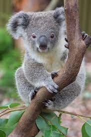

The little guy loves eucalyptus leaves!
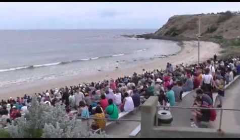
And last but not the least…….the parade of the little blue penguins. …reaching there around sunset time.
The Penguin Parade..
Philip Island is home to the largest little penguin colony in the world. These cute seabirds set out to the ocean in search of food during the day time. At sunset, they return to their burrows and that’s what we call the Penguin Parade.
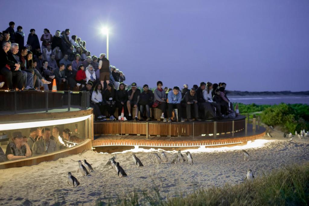
The Penguin Parade visitor area consists of gallery like steps built on the shore. Visitors have to maintain total silence . Mobile phones and cameras are prohibited in this area. No photography is allowed. Hence the pictures I am putting up for you are from those available online. Only in pictures can one get a visual impact of what I describe.
After we assembled and settled down quietly under the supervision of a keeper, we all waited with anticipation. Suddenly we noticed two heads in the water and they swam ashore. Predatory birds were flying overhead and that deterred the little ones and they all swam back into the sea. After a few rounds of this back and forth , one little thing gathered up the courage and came out of the water and started waddling up to its nest. Sure enough, the rest followed and soon we had hundreds of them waddling along. What an amazing sight that was!!!….its a once in a life time moment actually.
We have heard about Safety in Numbers….these little birds are very aware of it. They always try to stay together in a group supposedly to give the impression that it is big creature to the predatory birds flying above them.
After most of them were ashore, we could walk along the boardwalks again in total silence. The burrows of these penguins are below the boardwalks and the little babies were waiting anxiously for their parents return. Cackling away, those cute beauties were adorable indeed!!
I know it would have been ideal to post a video of the parading penguins. Unfortunately regulations do not allow photographing there . For those of you who would like to see it, there are videos available on you tube…..the next best thing!
The Visual treat for you….take a look…
The Viewing Gallery


An adult and baby penguins

The boardwalk to view the penguin burrows
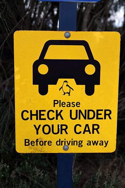
Signage as one leaves the penguin colony
Well, this was really one of my awesome trips…I hope I have been able to communicate this awesome experience to you. But as they say….nothing can come as close as experiencing it oneself. So do make it to Philip Island …its really worth it!!!
With this we bid goodbye to Melbourne . Next destination is Cairns….so next week we are diving at The Great Barrier Reef….don’t miss it!!!
Before that, don’t miss to subscribe below…