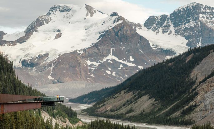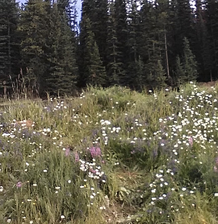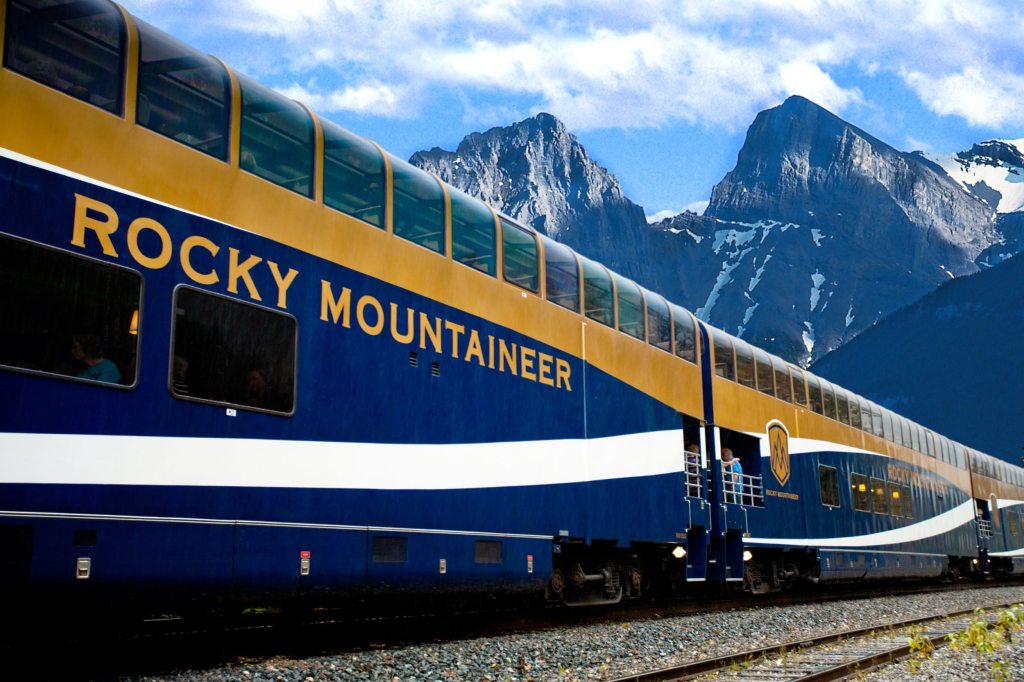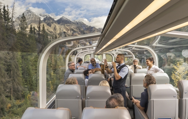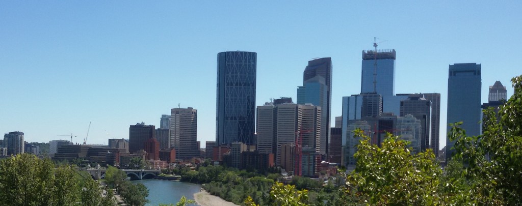
On a beautiful road trip from Calgary; enjoying the beauty of the Rockies, we arrived Vancouver late evening. After an overnight rest, we set off to sight see this jewel of British Columbia.
A short note on this beautiful city…
It is a major city in Western Canada in the province of British Columbia . It is one of the most ethnically and linguistically diverse cities in Canada. Though this area was inhabited by the indigenous people more than 10000 years ago, beginnings of the modern city started in 1867 around the present Gastown area and was called Gastown. The original site is marked by the Gastown Steam Clock. It was renamed Vancouver in 1886 by an agreement with the Canadian Pacific Railway. The city takes its name from George Vancouver a British Officer of the Royal Navy who explored and charted much of western coast including British Columbia, Washington and Oregon.
While forestry remains its largest industry, Vancouver is well known as an urban centre surrounded by nature making it a tourist destination. It has been nicknamed Hollywood North due to its popularity as a major film production centre in North America
The Port Of Vancouver is one of the biggest ports in North America making it a vital trade centre.
Vancouver is also home to many immigrant Indians,particularly Sikhs. Just like in Toronto, seeing a Sardarji pass by is a common sight.!! I had a nice experience of how many of them have got totally adapted and settled there. During one of our sightseeing trips, as we were approaching Vancouver, I saw a sardar on a tractor ploughing his field . I was given to understand that many farmers from the north particularly Punjab have taken to farming in Canada in a big way..
The highlights of Vancouver:
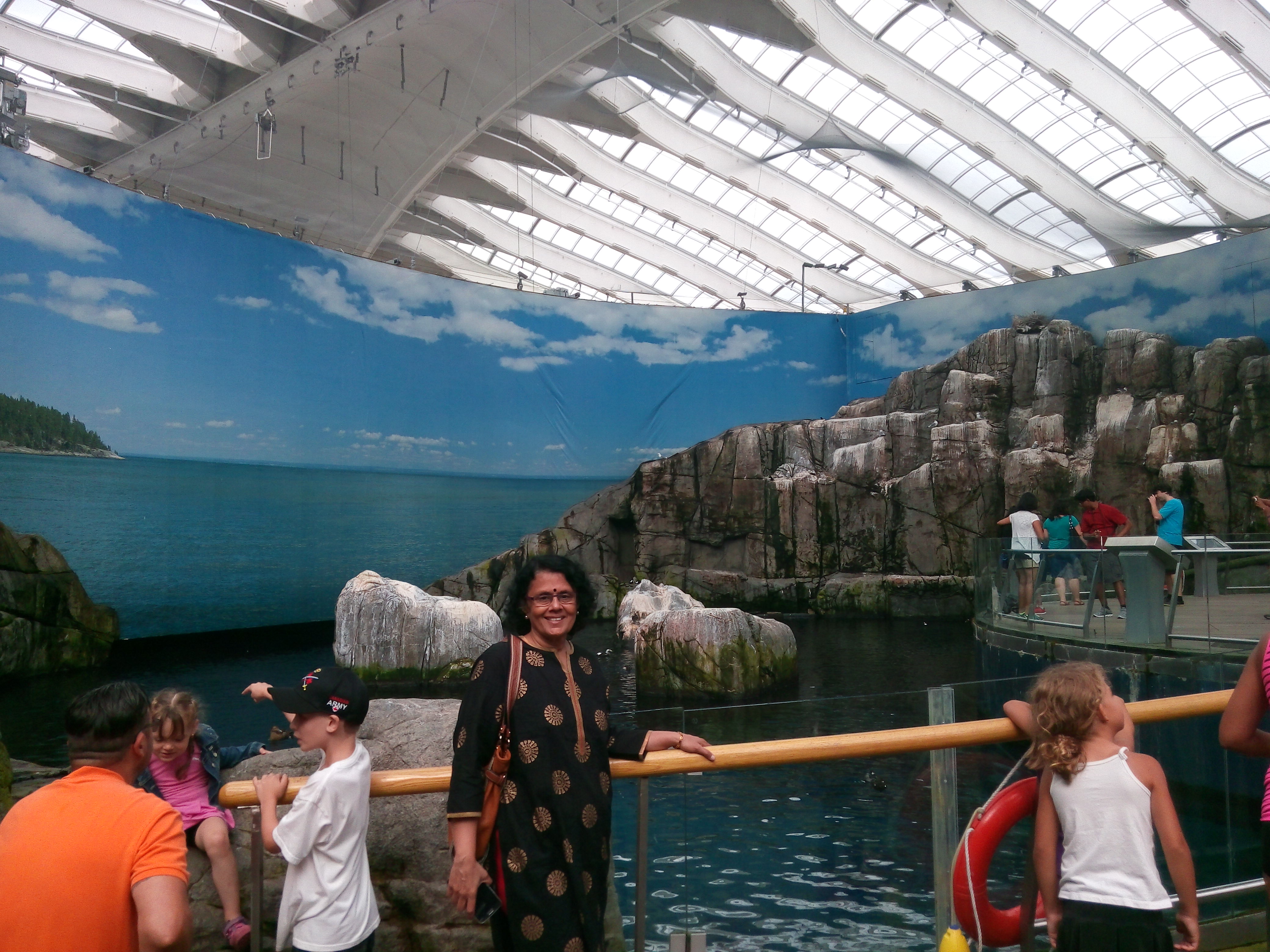
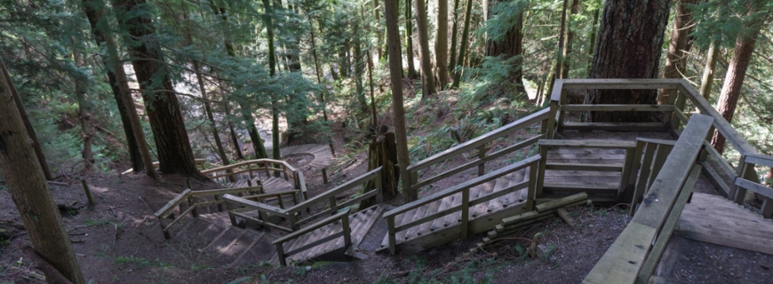
The Stanley Park is an iconic urban park in Vancouver spread over more than 1000 acres. Unlike many urban parks, Stanley park is not the creation of a landscape architect. It is an evolution of a forest and an urban place over many years. Much of the park still remains densely forested as it was in the early 1800s. It is estimated that there are close to half a million trees and many of them are hundreds of years old. There have been windstorms which have destroyed many trees too!! The park features forest trails, hiking paths, beaches, lakes, an aquarium and children’s play areas .
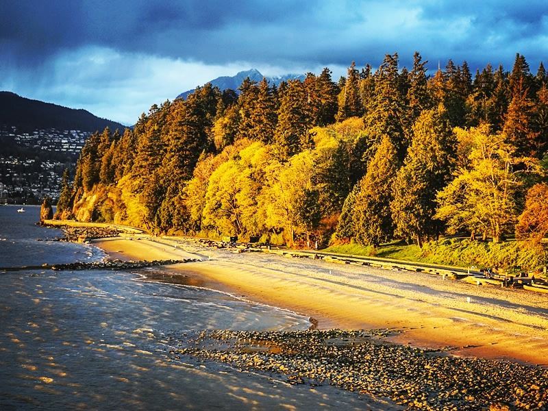
A beach at Stanley park ….note the onset of autumn on the leaves…
The Seawall is another highlight of Stanley Park.The walkway has been extended several times and is currently 22 kilometres from end to end, making it the world’s longest uninterrupted waterfront walkway. Cycling along this pathway is a popular activity.

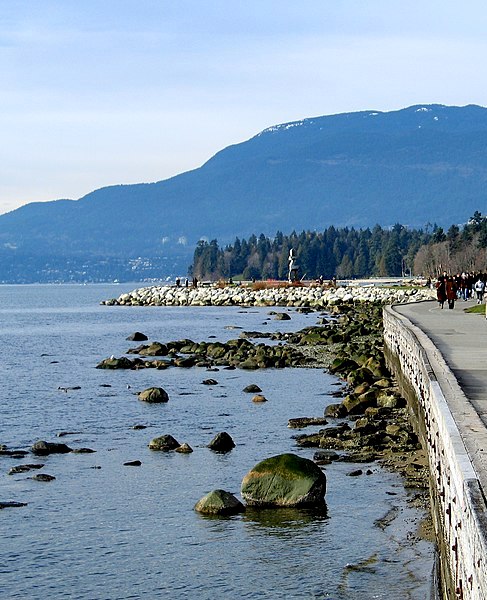
The Sea wall
The Lions gate bridge that connects the city with the northern parts is also seen from this park.
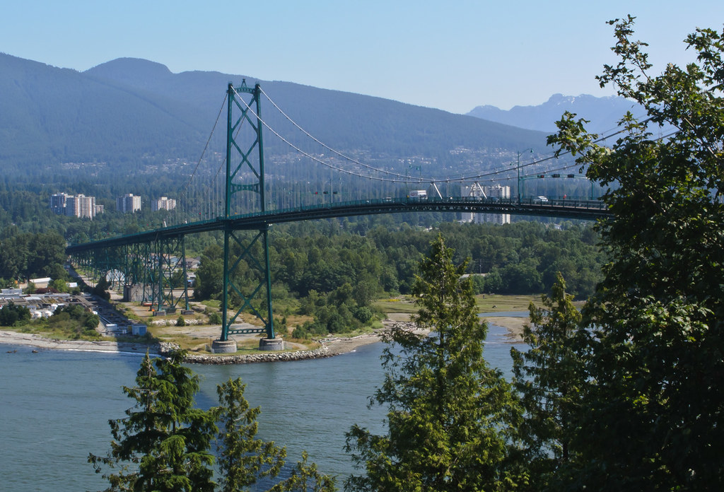
Lion’s gate bridge
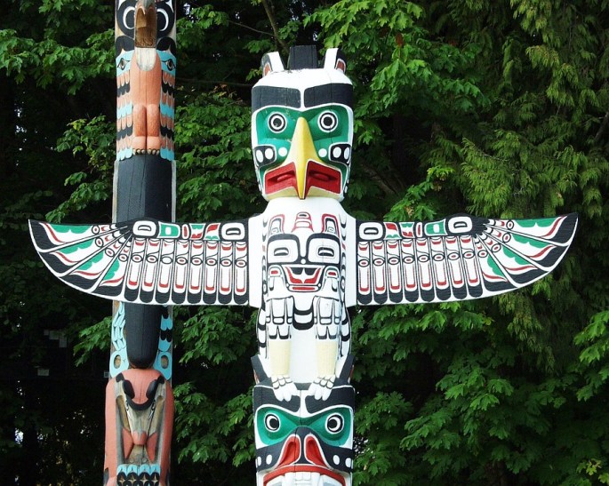
Another attraction here is the Indigenous Art area where there are carved wooden poles called Totem Poles. There are many such poles in the park and they represent the First Nation’s art work.
The featured image of this blog is that of a totem pole….just a tribute to the First Nation People and their artwork!!!!


Totem Poles
There is indeed no dearth of activity to follow at Stanley Park and it is a real urban oasis.No wonder that this park has been designated a National Historic site of Canada
Grouse Mountain:
Grouse Mountain is basically a Ski Resort . Located in North Vancouver, this winter wonderland offers skating, skiing and snowboarding. A gondola takes one from the street level to the summit where one can engage in any of these activities. Since the ski slopes are not particularly difficult, it offers great opportunities to learn skiing.
And for people like us who are not particularly interested in any of these, it offers great views of the city and surrounding areas of British Columbia. Besides, there are numerous shops and restaurants.
We visited in summer and so the ski activities were not there but we enjoyed the Gondola ride up and spent some time enjoying the panoramic views of the city from the top.Soaring to an altitude of 4,100 feet above sea level, the Gondola transports you to the apex of Grouse Mountain in about 15 minutes. Most local people were actually out there on a picnic! Of course there were lot of hikers too. Grouse mountain offers great hiking trails with great views. Zip lining, paragliding and eco tours are the other popular activities offered here.

The Gondola

View of Vancouver from Grouse Mountain

Paragliding at Grouse Mountain on a bright sunny day
Another attraction in North Vancouver is The Capilano Suspension Bridge
This is a suspension bridge across the Capilano River. Around 70 metres above the river bed and 140 metres in length, this bridge is in private ownership. Originally made with hemp ropes and cedar planks, it was replaced with wire cables
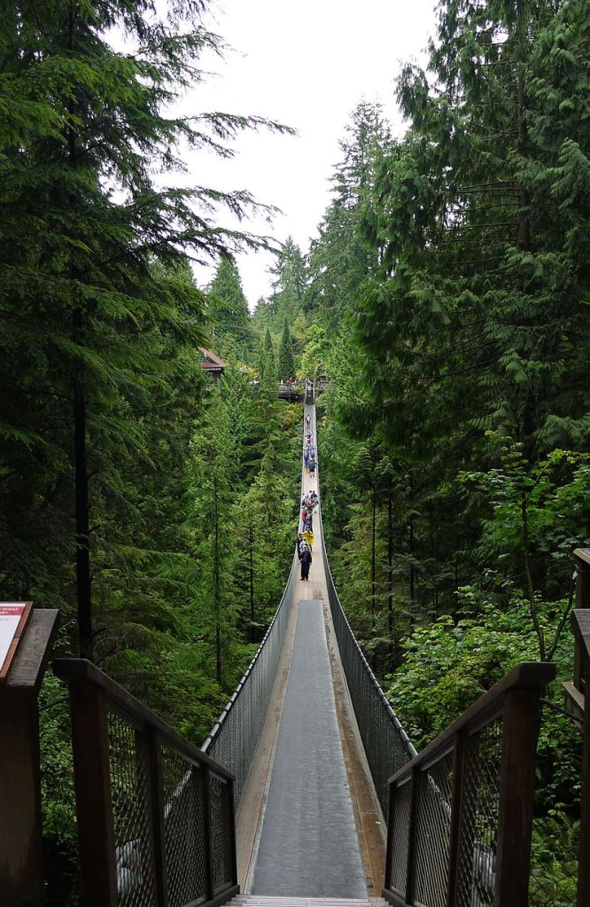
The Capilano Suspension Bridge
Treetop adventures is an adventure activity offered at the Capilano bridge park. Suspension bridges built at a height lets one explore the tree tops and the ravines below.
Tree top adventures
There is also a cliff walk where one can walk along a semicircular bridge over the cliff and enjoy the beauty of the river below

The Cliff Walk
Gastown
The oldest part of the city, gas town is an area of restaurants, galleries and shops set in Victorian buildings. Heritage structures and cobblestone streets give the district its unique atmosphere. Gas town came into existence in 1867 when it was known as Gassy’s town after a man nicknamed as Gassy Jack. This soon evolved into Gas town.
There is a famous Steam clock installed on the street here which gives out colored steam every 15 minutes.This is actually part of the steam heating system , as a way to harness the steam and mask the steam vent on the street.
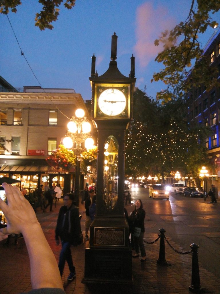
The Steam Clock spewing pink colored steam
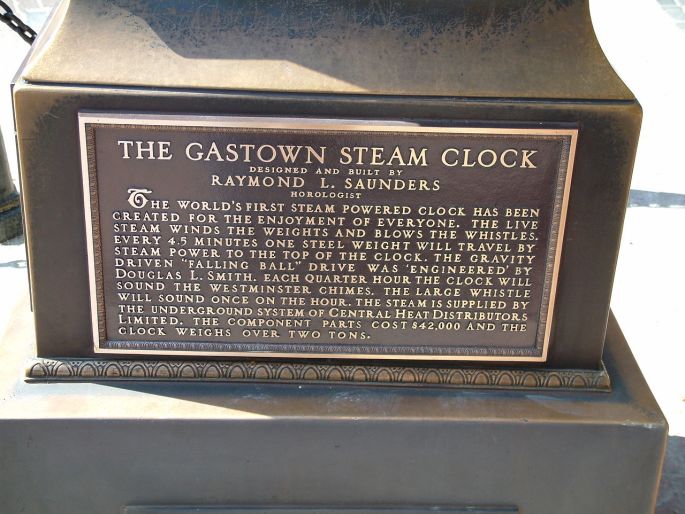
The plaque below the clock
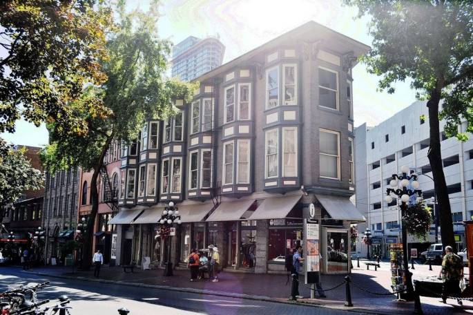
A typical street in Gastown
Canada Place
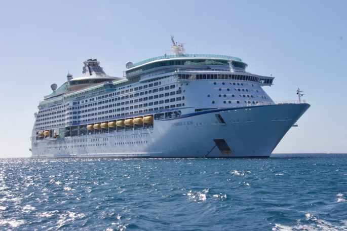
This architecturally designed structure along the shores of Vancouver; is part cruise ship terminal, part convention center and hotel and partly a hub for sightseeing bus tours. The unusual roof design creates the impression of a huge sailing vessel. If you happen to arrive in Vancouver by cruise ship, you will arrive here!!
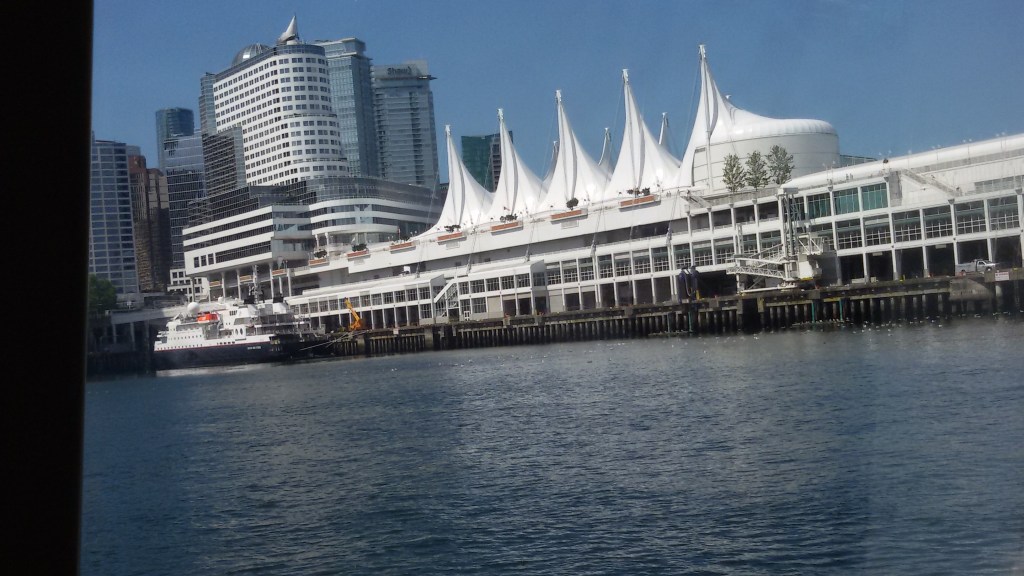
Canada Place
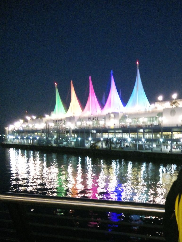
Canada Place by night
There are regular sea bus services from here and we took a ride on one such sea bus.

The Sea Bus

The Vancouver skyline from the sea bus.
Well ; I hope you have got a sneak peek of this beautiful Canadian city. From Vancouver we also did short trips to Victoria and Whistler.
These two trips will be featured in my next two blogs which will bring us to the end of our Canadian Adventure.
For now, enjoy Vancouver and see you next week at Victoria…
Meanwhile…do subscribe