
The Beauty of Yosemite lies in its diversity…
History and Overview
Yosemite National Park located in California’s Sierra Nevada Mountains and spread over more than 1200 sq miles , is known for its the granite cliffs, waterfalls, clear streams, sequoia groves , meadows , lakes , glaciers and valleys and has unmatched biological diversity. Tunnel view is a popular view point here from where you get an overall view of the popular granite cliffs and some of the waterfalls. It was first protected in 1864.
About 10 million years ago, the Sierra Nevada mountains were uplifted and tilted due to tectonic activity; resulting in steep valleys and canyons. Snow and ice accumulated in the higher altitude alpine ranges forming glaciers. The downward movement of ice masses cut and sculpted the terrain as we see it today.
Yosemite is the name of an indigenous tribe that originally inhabited this area and were driven out as a part of the California gold rush in the early 19th century.
The Yosemite Valley represents less than 1% of the park area but this is where most visitors arrive today.
Granite Cliffs
El Capitan(the captain) and Half Dome are the most popular cliffs and are sought after rock climbing destinations. Permits for hike are distributed by lottery.The introductory image in this article is that of sunlight falling on the Half Dome
Giant Sequoias
The Tuolumne, mariposa and Merced groves have giant Sequoia trees. The Tuolumne and Merced river systems flow through the park. Hydrological processes like glacialisation and flooding have been responsible for creating the various landforms in the park.
Waterfalls
Yosemite is also well known for its innumerable waterfalls, the most famous among them being the Bridal veil falls seen from Tunnel view. The best time to view these are between April and June. Many of them are dry during the dry season.
Fire fall is another phenomenon peculiar of Yosemite. Occuring at sun set in mid to late February, the sun rays hit the Horsetail falls causing it to look like molten lava
Apart from this, Yosemite is home to a variety of wildlife species which changes according to the plant species and the altitude of the area. Noted among them are the black bear, coyote, raccoon, marmots, deer etc
Wild fires occur seasonally and clear the park of dead vegetation making way for new growth. The Giant Sequoias need fire to reproduce. It clears away the competing firs and cedars and exposes bare mineral soil for the tiny seeds to take root. These fires do help some of the other trees as the fire clears the way for sunlight to trickle into the forest floor.
Lodging Facilities like the Yosemite lodge and various other options are available inside the park and in neighboring communities.
Wilderness Permits are required for all overnight visits.
Suffice to say that this is not a place you can rush through in a day. You need to camp and spend time exploring the place. It is a naturalists delight and the more you explore…the more you discover….
Our Tour
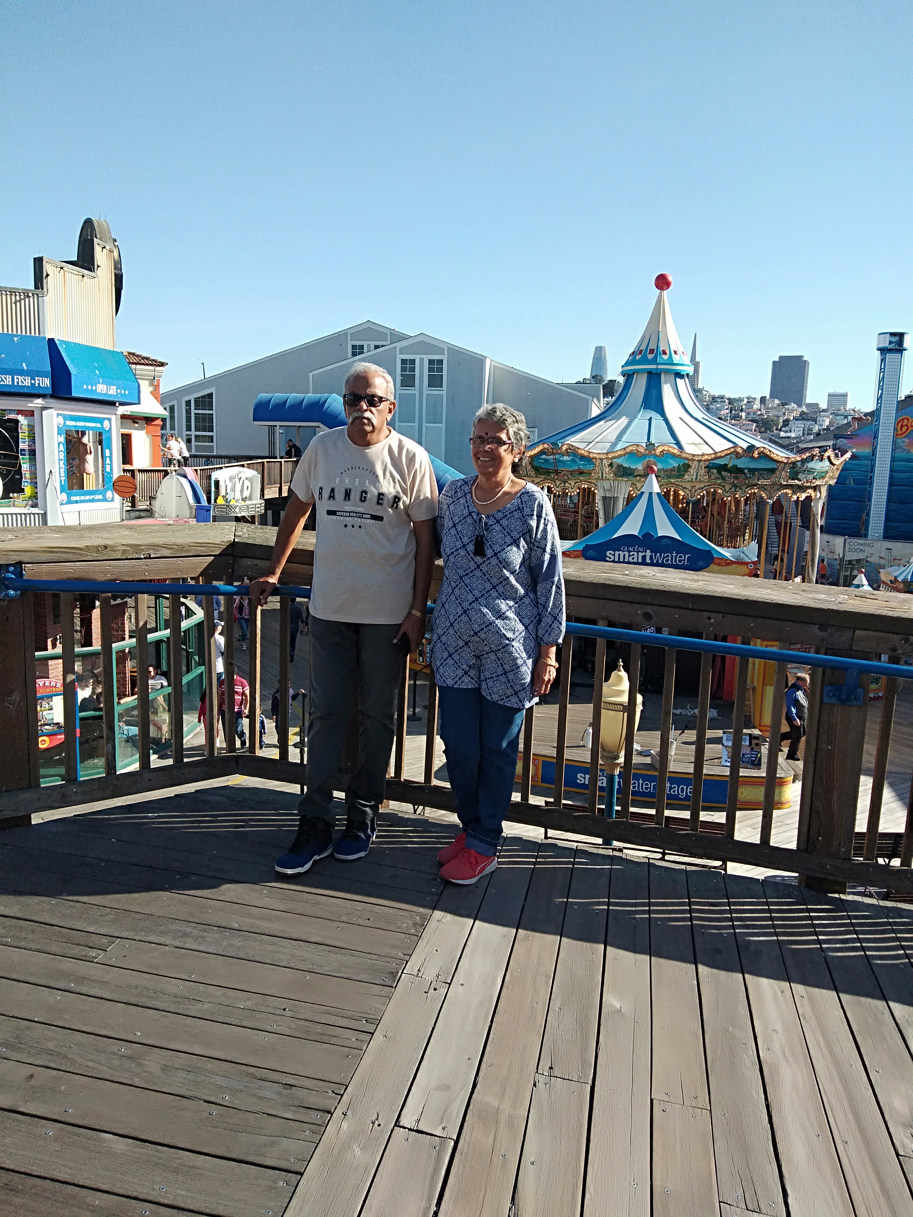
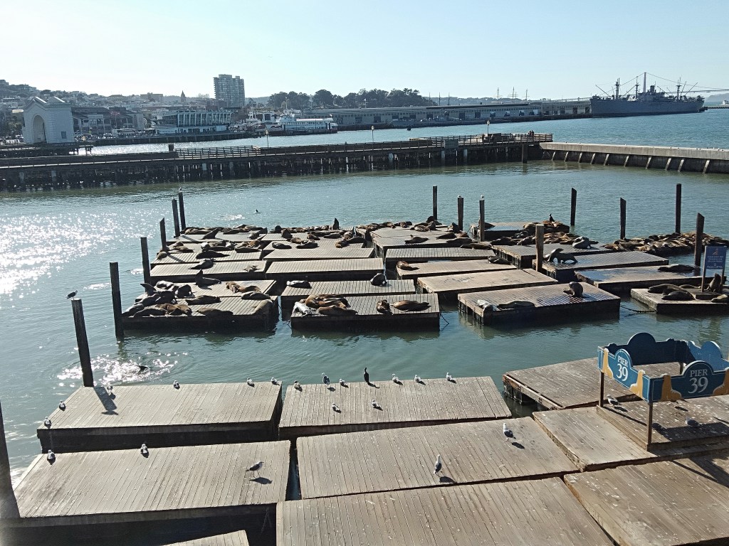
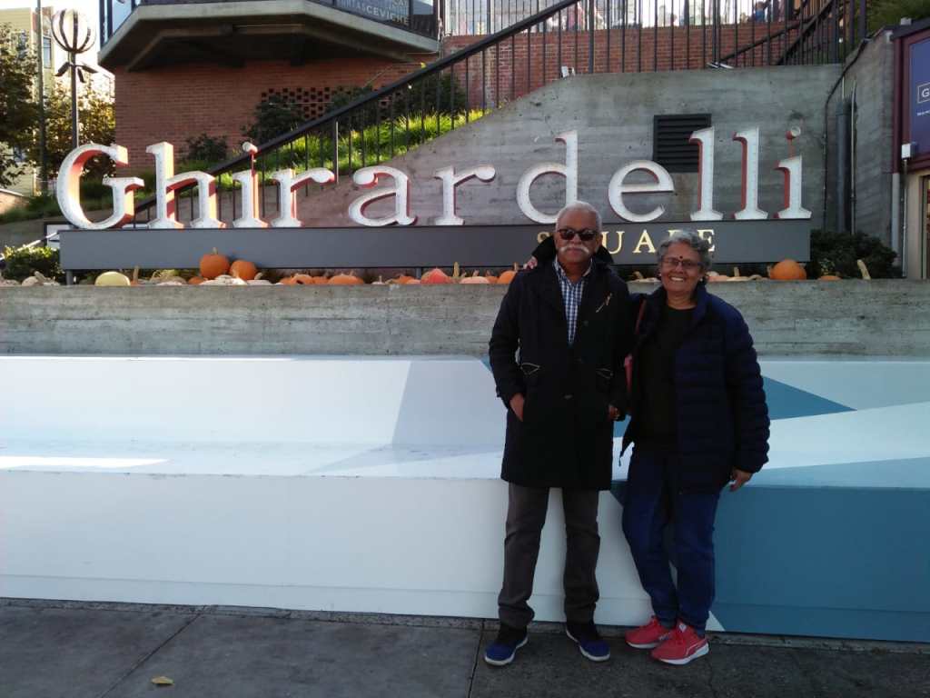
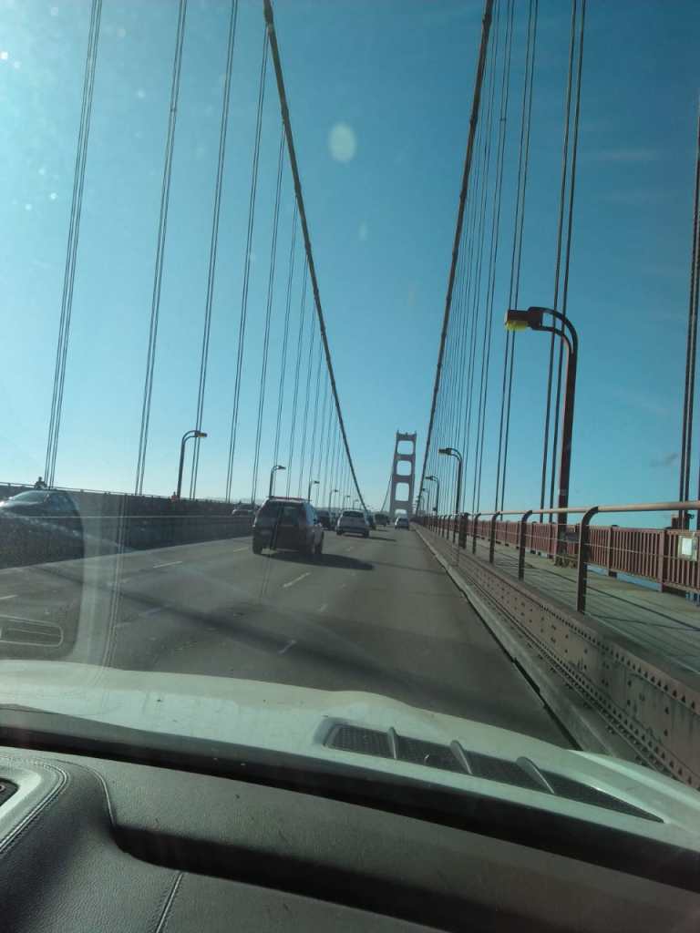
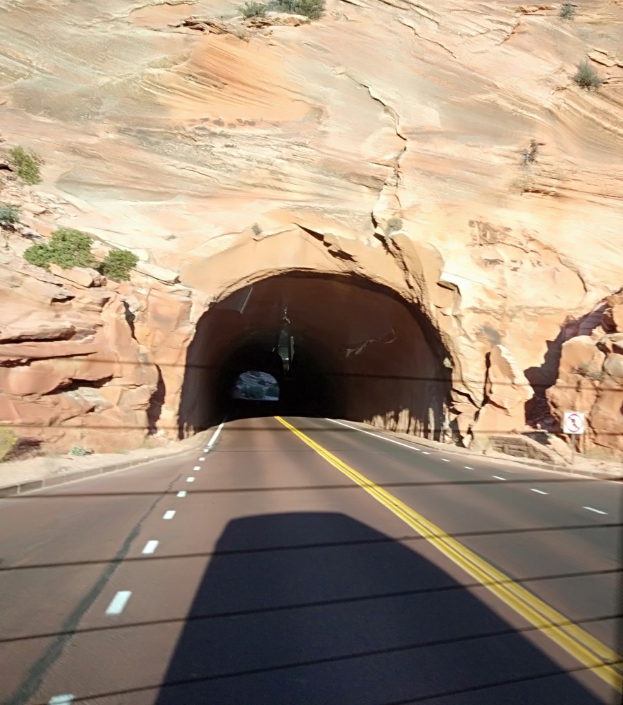
We had booked with Extronomical tours for this trip and we were dropped off at city Hotel at 5.30 am ;from where a cab picked us up and drove us to Livermore. Driving to Livermore was an eye opener about San Francisco traffic….there was heavy traffic at that early hour. We were dropped off at a Starbucks outlet at Livermore where there were other people waiting to join the tour. After a half hour wait, the tour bus pulled up and we all excitedly boarded the tour bus
Our first halt was at The Tuolumne Grove….The grove of giant sequoias.
The main attraction here is the Giant Tunnel tree, but a steep trek is required to reach it. The tour guide dissuaded us from taking the trek as there was limited halt time here. So, we walked around the grove and admired the giant sequoias.
The missing of the Tunnel tree was a disappointment …but we did get some nice pictures at the grove.
The single dirty toilet here with long a queue was also a sore thumb…..

The Tuolumne Grove
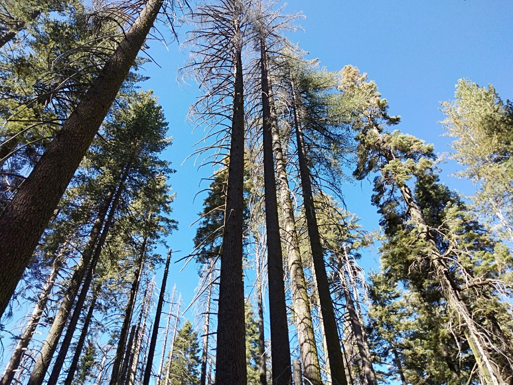
Giant Sequoias
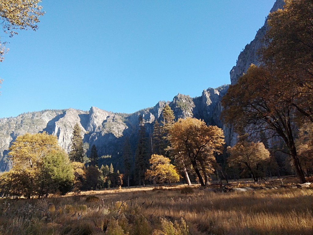
The Sequoia grove is at one end of Yosemite and so after we left the grove, we were driving through thickly forested areas and winding roads with amazing scenery.
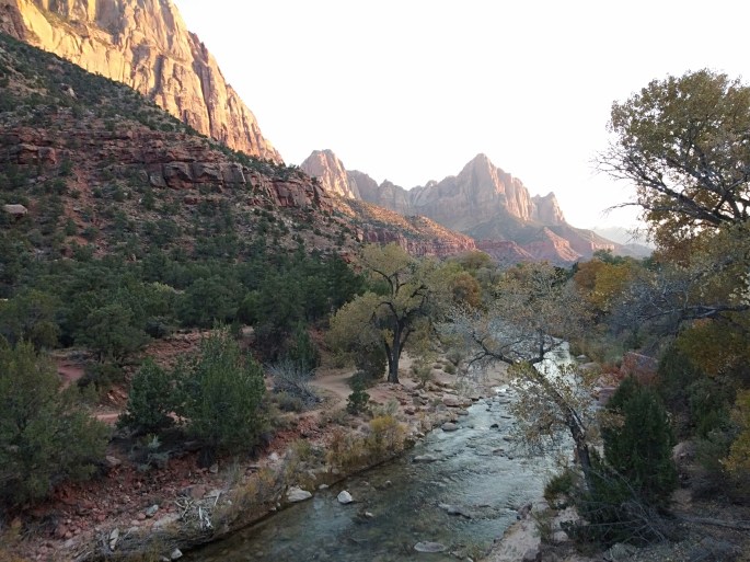
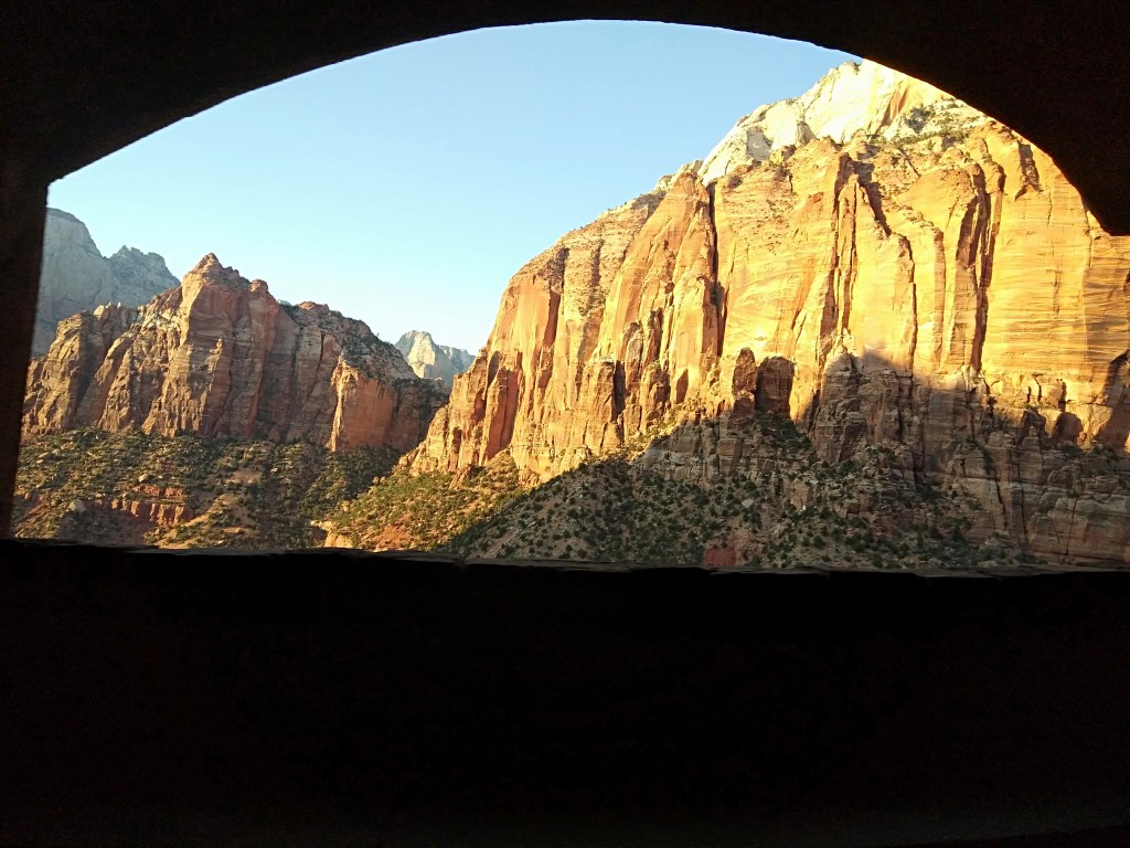
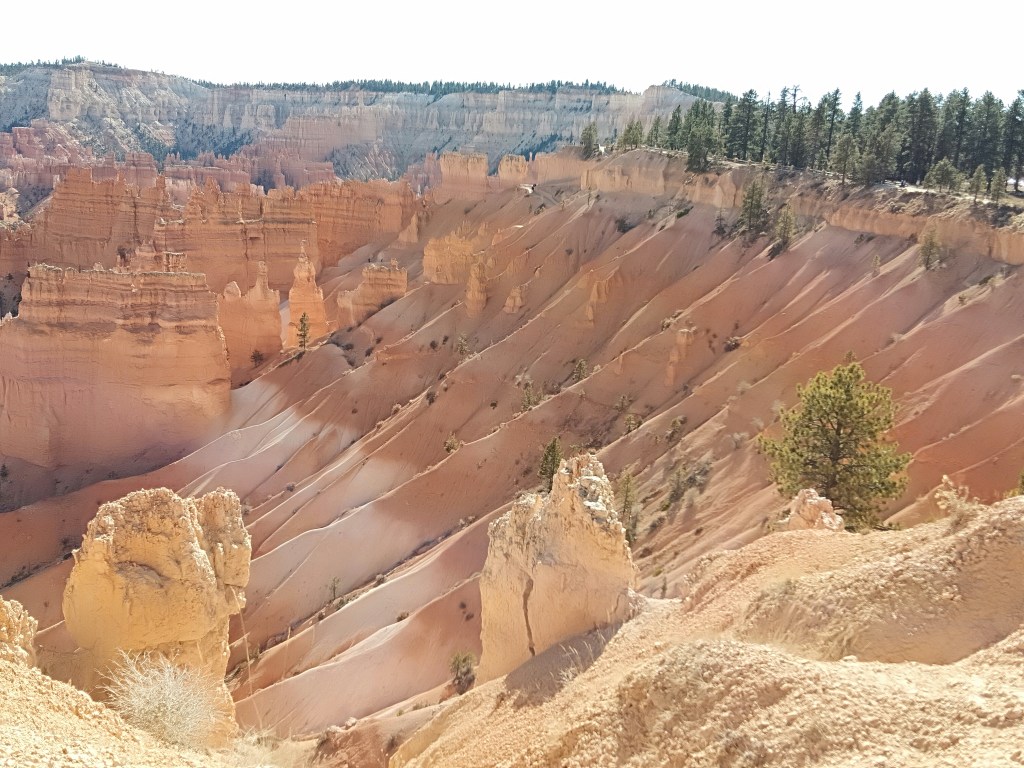
So, the drive was really captivating and we reached the Tunnel View point where we could see The Half Dome and El Capitan. These are granite cliffs sculpted by the vagaries of nature and are popular rock climbing destinations .

Tunnel View
The El Capitan (blue) and Half Dome( green) and Bridal Veil Falls(red) opposite the El Capitan
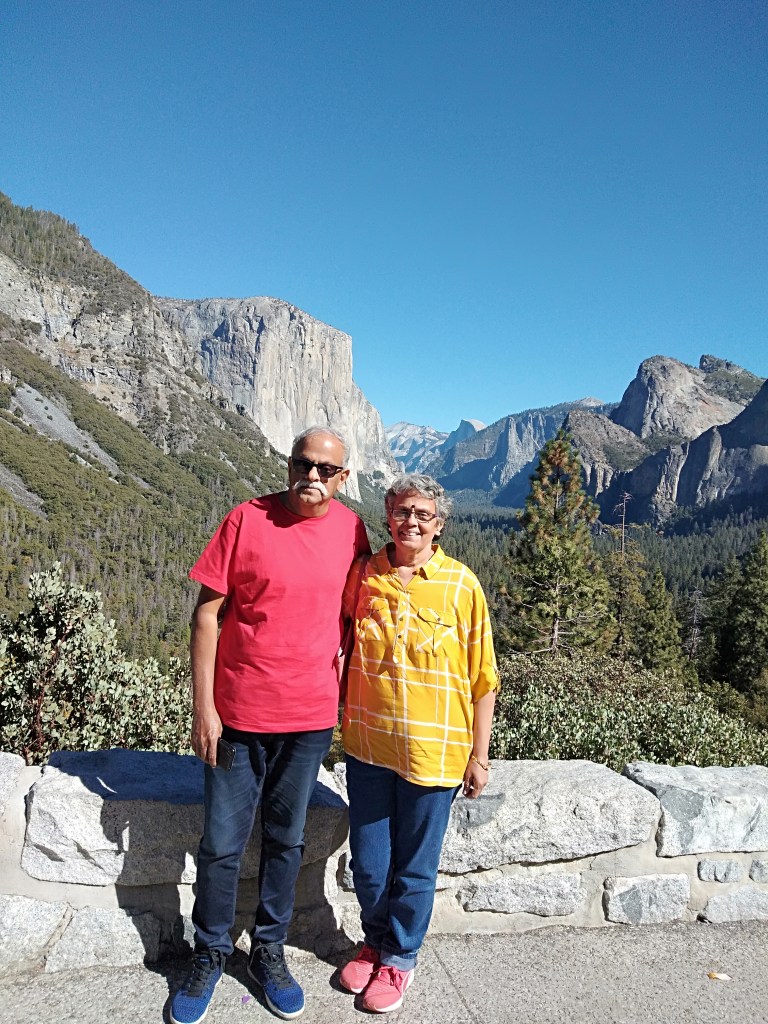
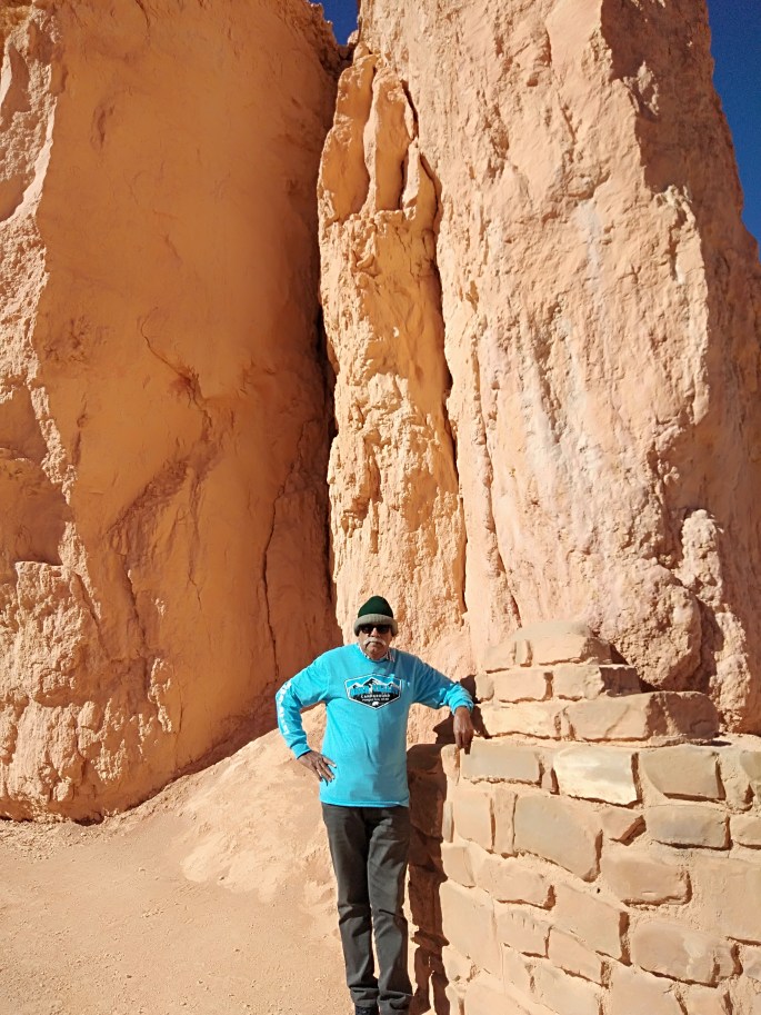
At Tunnel View with the cliffs in the backdrop
We were then taken to the picnic area where we had around two hours to spend. We had lunch and walked around the area and also took some pictures. The Merced River was flowing like a small stream…the effect of drought over the years.

The Merced River with the reflection of the cliffs
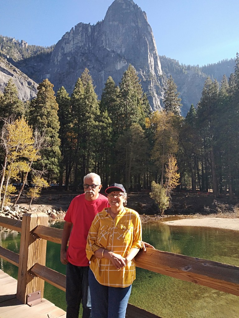
The wooden bridge across the Merced
After the break, we were picked up by the guide and we reached close to El Capitan from where we could see Rock climbers as tiny specks on the cliffs….that was something really unique!!! These climbers even halt overnight on these vertical cliffs…..literally the heights of adventure……
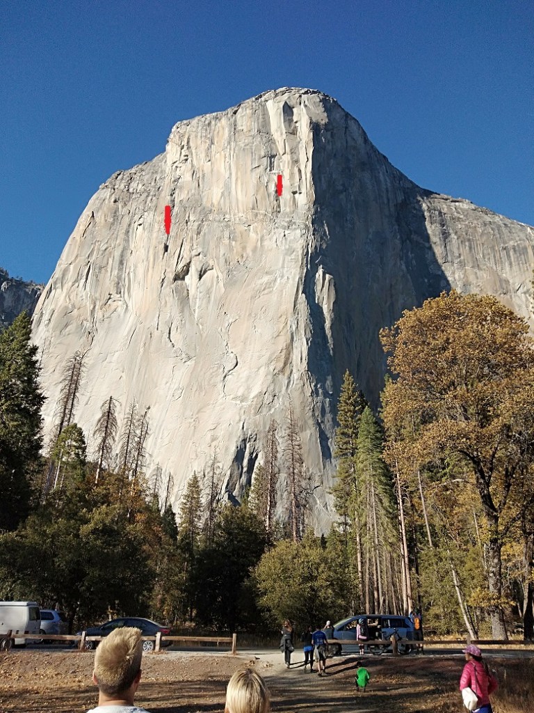
The El Capitan with rock climbers (marked with red arrows)

A general view of the park with the Merced River.
There is yet another exciting event that occurs in Yosemite….the firewall.The horsetail falls here gets illuminated by the sun rays in a particular angle during a few days in the month of February.This gives an illusion of fire falling along the rocks…hence fire fall.

(The above picture is courtesy Pexels…It would be unjust to miss this phenomenon in a description of Yosemite and hence chose to put a non personal picture .)
Let me show you some pictures we took as we walked around. Take a look…


Some general pictures from Yosemite
I leave this description with a note that Yosemite is not for you to cover in a day. Whether you are looking to hike the cliffs, or simply enjoy the stillness of nature or even ski the slopes, you will not be disappointed.You need to spend a few days camping there to extract the cream of Yosemite
Meanwhile, please do not forget to subscribe below
See you all next week at the Sunshine state of Florida….at Miami
Till then take care….
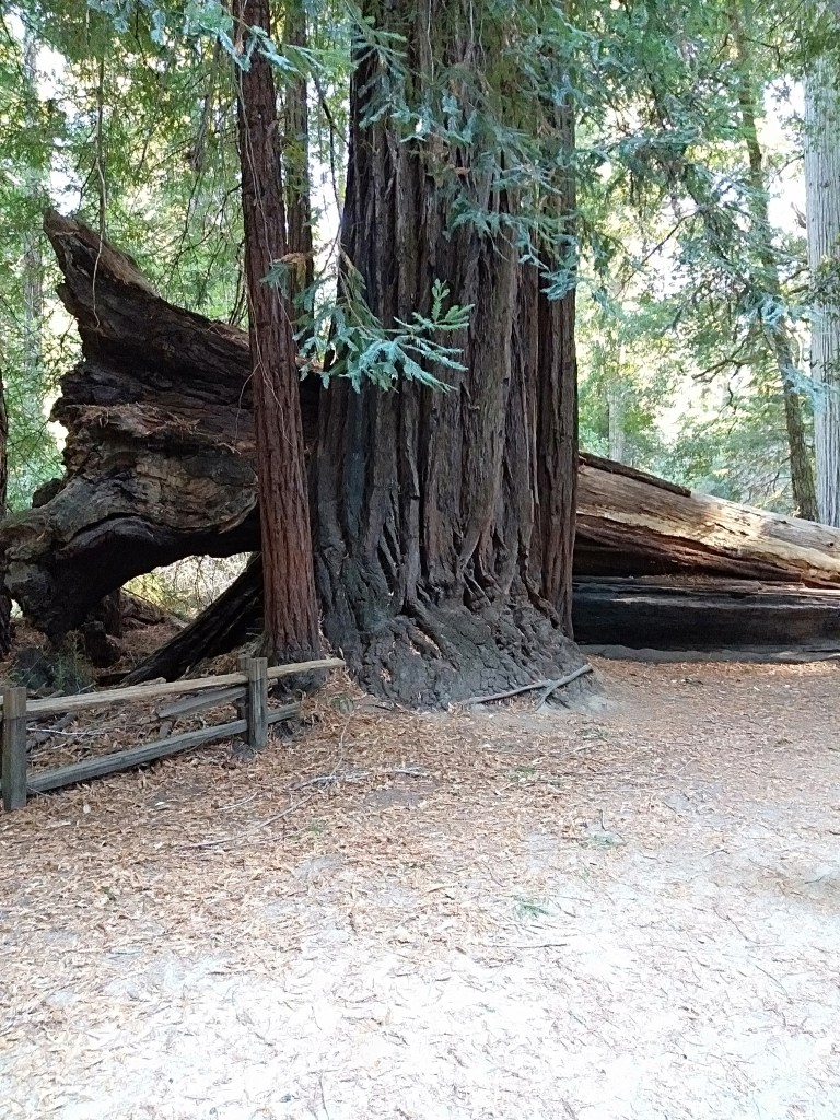
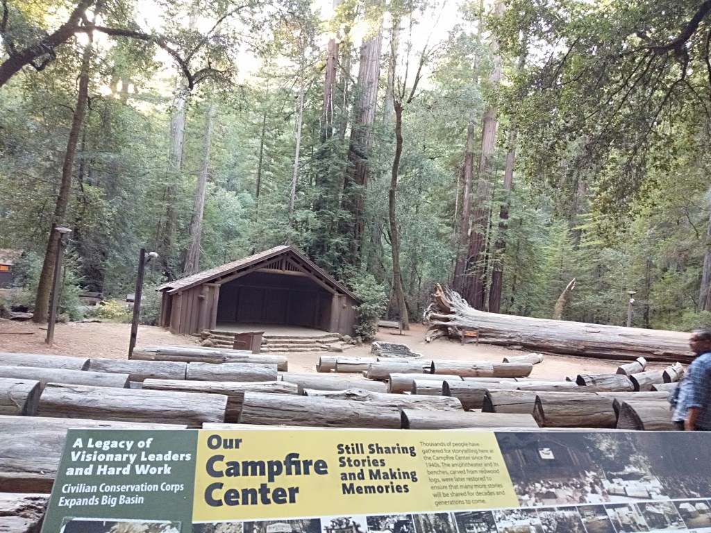
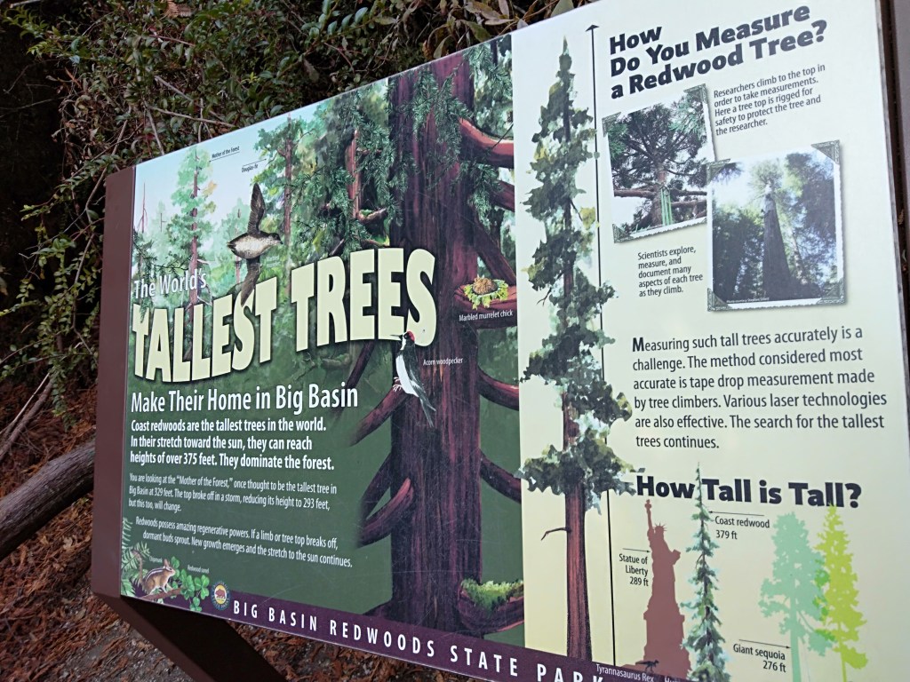
In case you missed my last blog on the Big Basin Redwoods, here’s the link