Continuing our trip to NorthEast India, our next destination was Darjeeling. Starting from Gangtok we were driven down to Darjeeling by our tour operator. And I need not say….the drive was through hilly terrain with some beautiful views of the Himalayas.
A little bit about Darjeeling…
This quaint hillstation at an altitude of 6700 ft in the state of West Bengal in India has a colonial past. Darjeeling was originally in Sikkim and was leased out by the British to develop it into a summer retreat and English style cottages were built . Tea plantations were developed and a lot of labourers were recruited chiefly from Nepal. Widespread deforestation lead to displacement of the indigenous people. After Indian independence when the British left India, these cottages were bought by wealthy Indians and so were the plantations. This explains the colonial look of the buildings in the hillstation , the tea estates and the cosmopolitan population.
The name “Darjeeling” is derived from the Lepcha and Tibetan word dorje-ling meaning land of the thunderbolt. The dorje is a weapon found in most local homes and held by their deities. It is also the weapon of the Hindu God Indra.

The Dorje
Our Trip
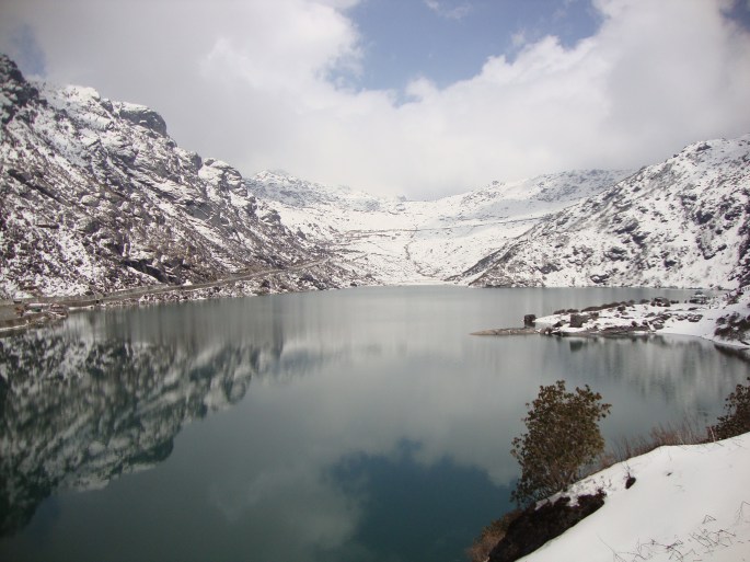
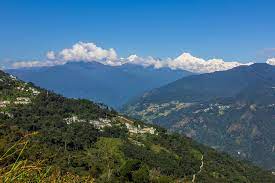
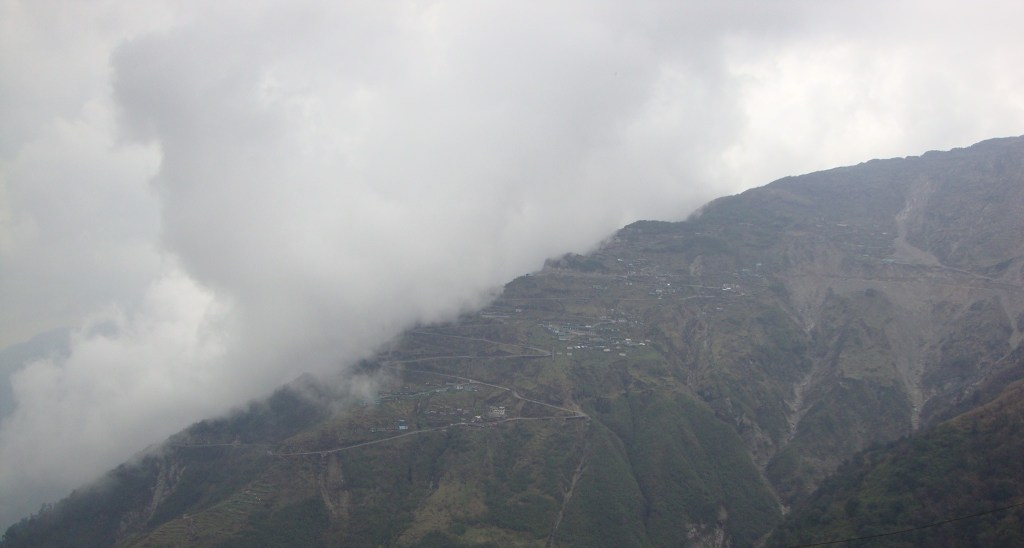
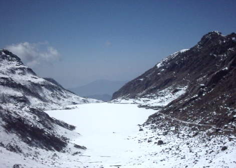
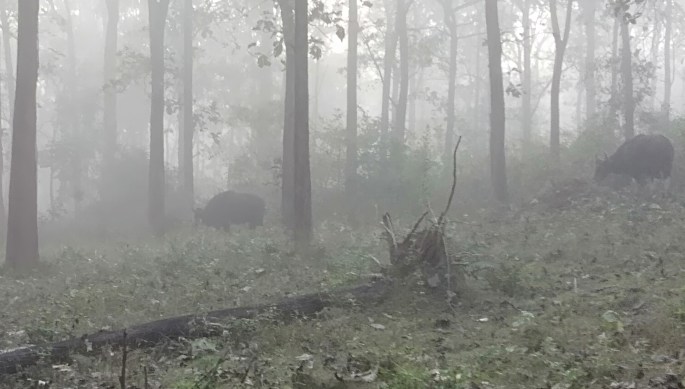
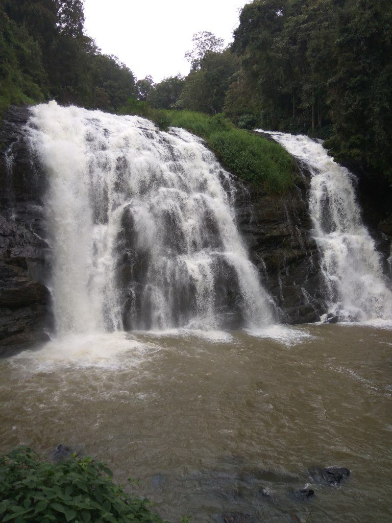
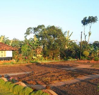
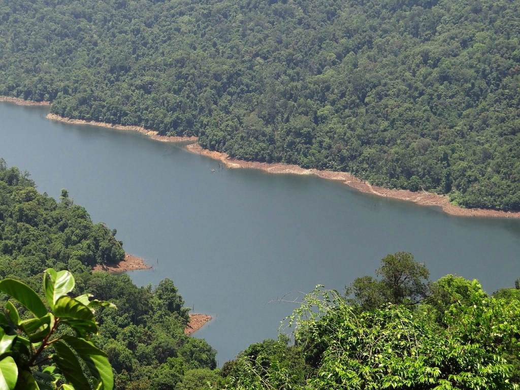
The drive to Darjeeling was beautiful with winding roads, tea plantations and views of the mighty Himalayas. The Teesta and Rangeet rivers played hide and seek with us enroute till we reached a point where we could see them merging.
Some pictures from the drive to Darjeeling…

The misty hills, winding roads and the Teesta river
The confluence of the Teesta (muddy) and the Rangeet (clear) rivers
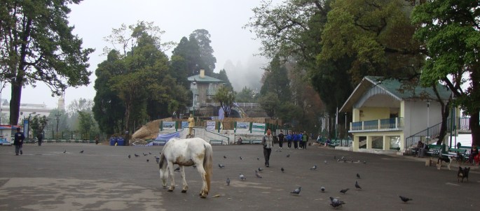
Late afternoon, we were at Darjeeling, checked into our hotel and rested for a while. Our hotel was walking distance from Chowrasta, the main shopping area in Darjeeling. So we walked up there and spent an evening soaking in the Darjeeling vibes.
Chowrasta
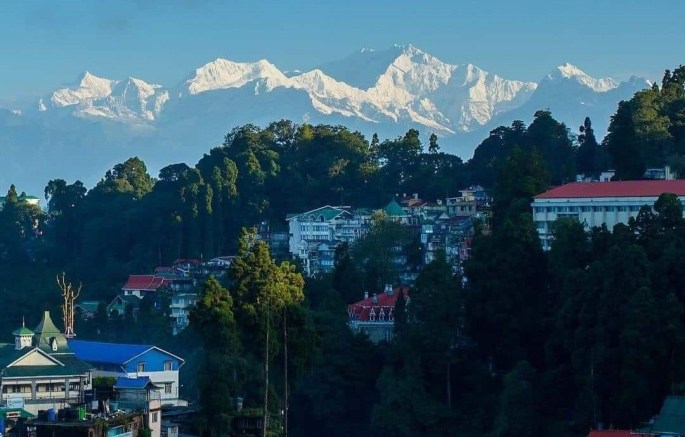
Chowrasta is the public square of Darjeeling lined with coffee shops and restaurants . It is a kind of meeting point for the people with small benches along the side for tourists to soak in the ambience. On a clear day, some of the Himalayan peaks can be seen from here including Mt. Kanchenjunga.
The Hawa Ghar ; a permanent stage where cultural programs are held and a statue of a Nepali poet adorn the square.
Chowrasta with the Hawa Ghar on the right


The fountain , statue and crowds at Chowrasta
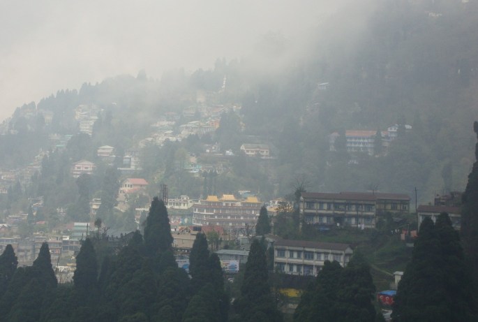
View of Darjeeling town with clouds descending on it…
After soaking in the Darjeeling ambience, we returned for the night to our hotel.
Next morning, we were picked up for a local sightseeing trip of Darjeeling and our first destination was the Ghoom Monastery.
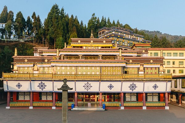
Ghoom Monastery
A monastery of the yellow hat sect of Buddhists, it houses a 15 ft statue of Maitreya Buddha. This statue is painted in gold colour and is embedded with precious stones. The monastery houses various rare Buddhist manuscripts and is a revered place of worship for the Buddhists.
The New Ghoom monastery is a huge building and houses several monks. The old Ghoom monastery lies below it and looks more traditional.

New Ghoom Monastery

Old Ghoom Monastery

Buddha Statue
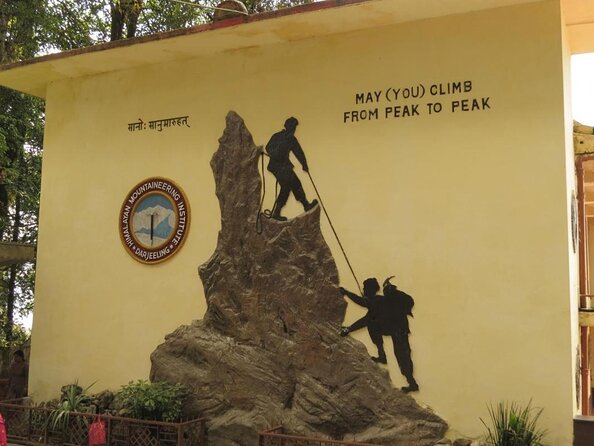
Darjeeling is home to an important institute, The Himalayan Mountaineering institute.
The Himalayan Mountaineering Institute
Founded in 1954 to commemorate the first summit of Mt Everest by Tenzing Norgay and Edmund Hillary,this is one of the premier mountaineering institutes in the world.
This institute trains aspirants in mountaineering and allied adventure activities. Tenzing Norgay served as the first director of this institute. There is a museum here that houses various treasured mountaineering displays.

Entrance to HMI

One of the inspiring exhibits and memorabilia at the museum
There is a statue of Tenzing Norgay and a rock named after him inside the institute. Interested visitors can attempt climbing this rock.
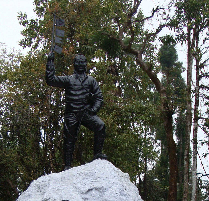
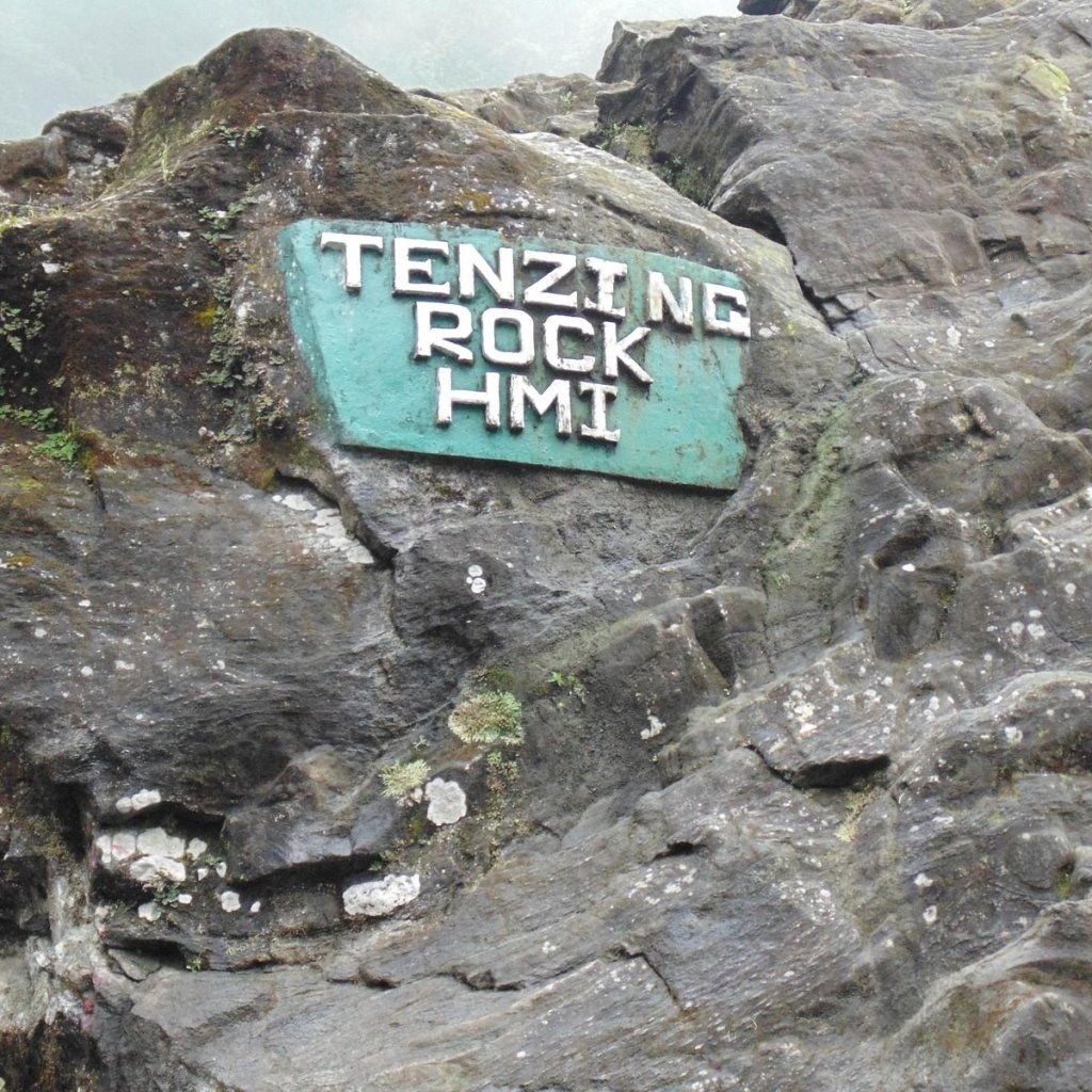
The statue of Tenzing Norgay and the rock for aspirant climbers.
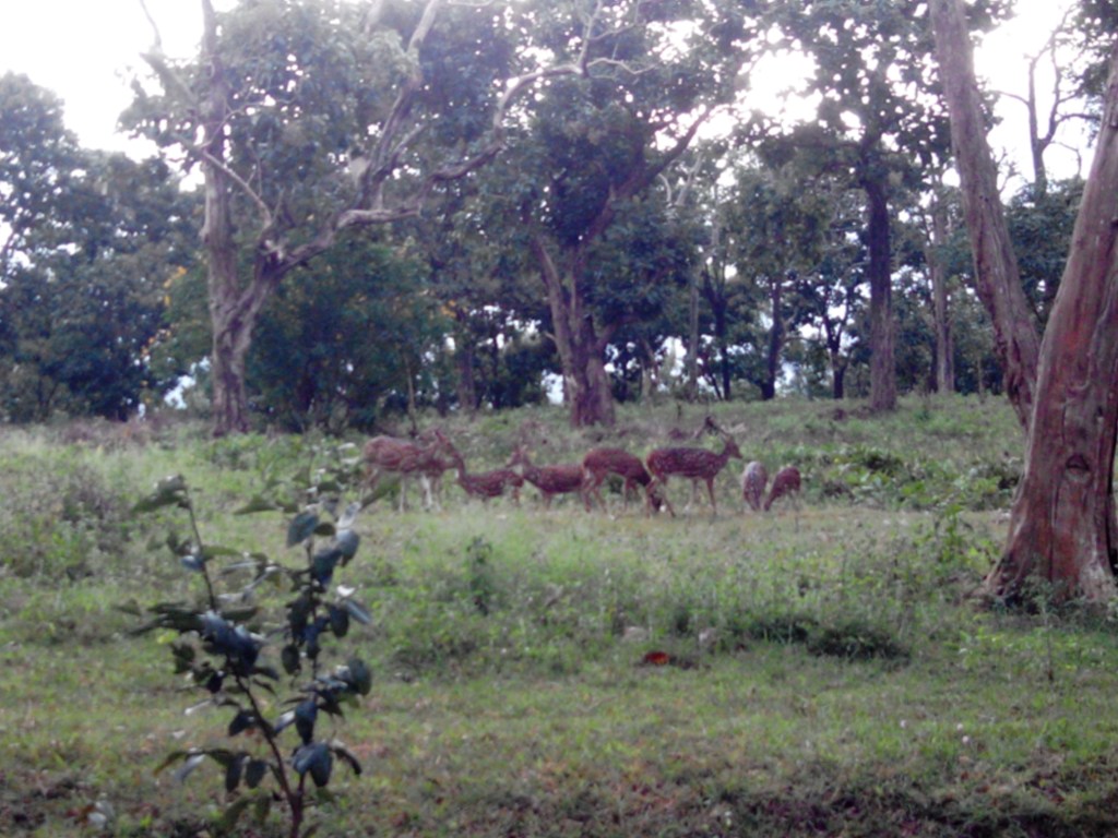
Adjoining the HMI is the Darjeeling Zoo also called Padmaja Naidu Himalayan Zoological Park. Many rare Himalayan species can be seen in this zoo. It is India’s highest altitude zoo.
Some pictures…
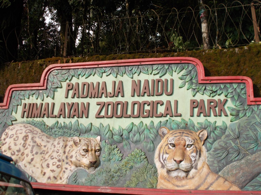
The Entrance
A Himalayan Panda…click on the video

A bear
Tiger Hill
This mountain in Darjeeling at a height of 8500 ft offers views of Mt Everest and Mt Kanchenjunga. A visit to Tiger Hill is recommended at dawn. We were picked up before sunrise and we drove up to Tiger Hill.
Spotting a leopard!!!
I can never forget this drive as I spotted a leopard just off the road scampering into the bushes as the lights of our jeep hit it. You will understand that just like the leopard, I was also taken by surprise and was not ready with my camera!!!
It was only subsequently that I realised that the Senchal Wildlife Sanctuary lies close to Tiger Hill and it is home to the Indian leopard.
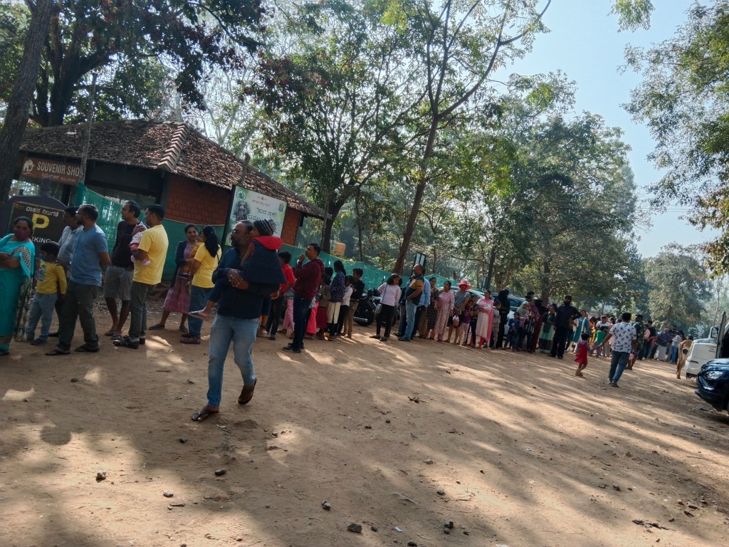
At Tiger Hill , there is a viewing platform from where the views of sunrise over the Himalayas is awesome on a clear day. As the sun rises, the first rays falling on the snow capped mountains gives it a pretty orange hue which I was hoping for. Mt Kanchenjunga appears higher than Mt Everest as it is closer to Darjeeling. But, we were not so fortunate as we did see a sunrise but the clouds obstructed the Kanchenjunga views.
However, we enjoyed the thrill of waiting among the crowd for the Sun God to appear!
Some pictures…

What was expected….(a file photo for reference)
What we saw...if you look carefully, the mountain peaks are seen in faint golden colour…
Sunrise over the Himalayas….
The Peace Pagoda
Another shrine in Darjeeling is the Peace Pagoda which is aimed at uniting people of all races and fostering world peace. One can understand its relevance in today’s world!!
Built by a Japanese Buddhist monk, it houses four avatars of Buddha. The ambience there is calm and peaceful and suited for meditation.
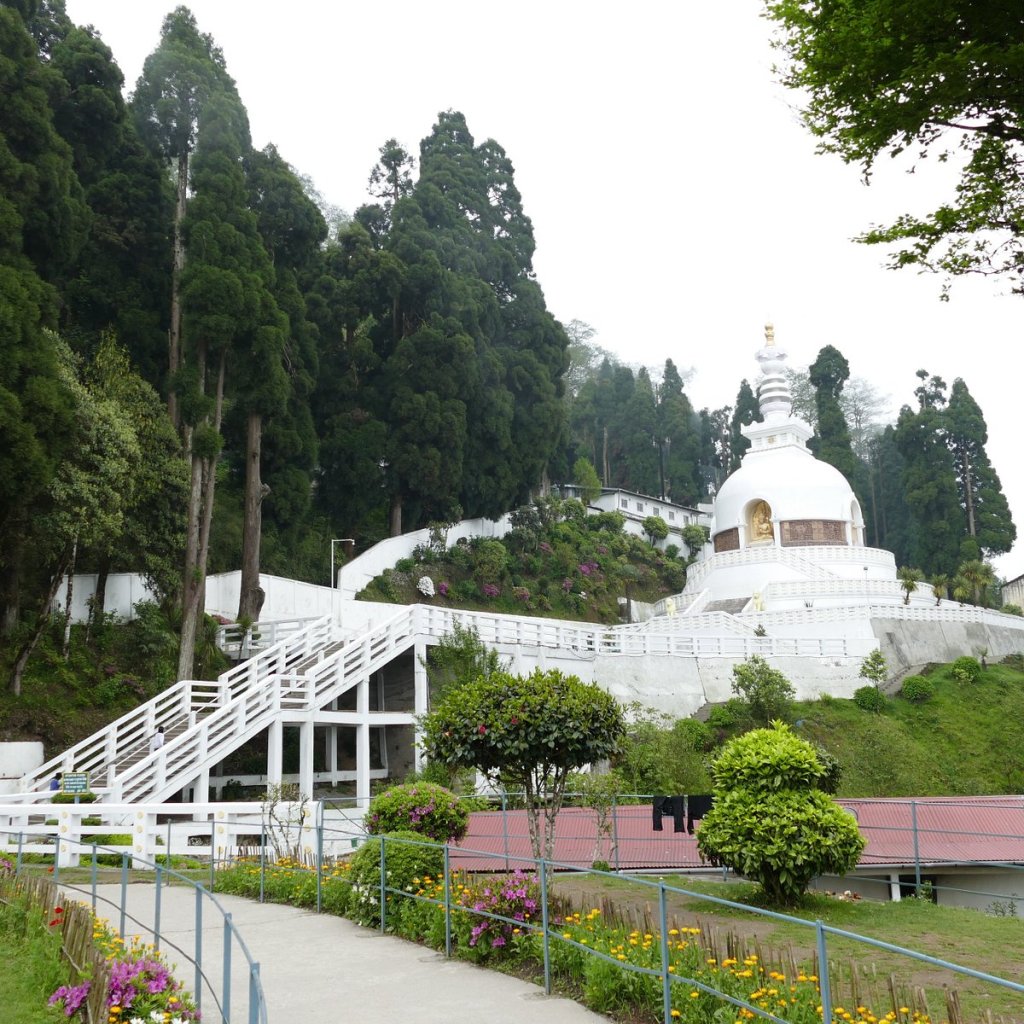
Peace Pagoda
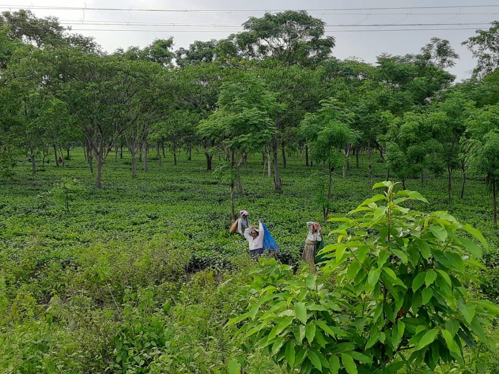
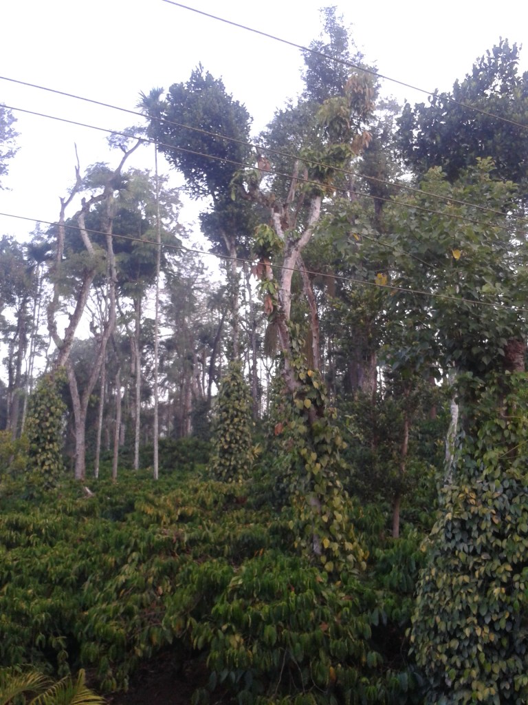
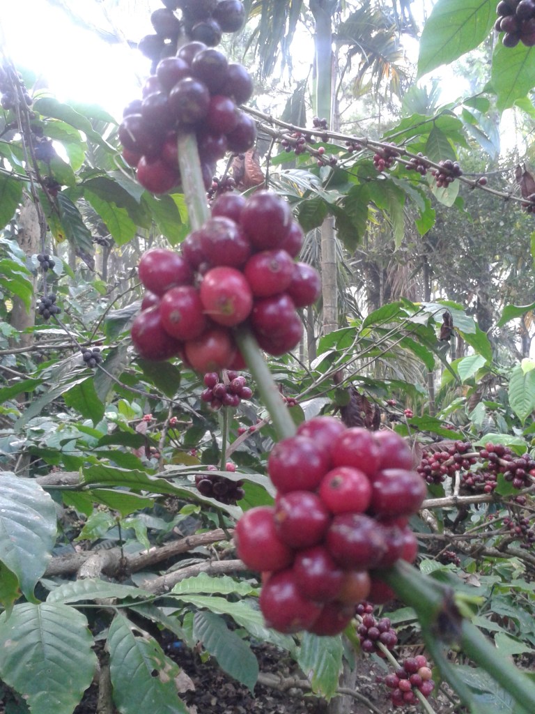
Last but not the least, we did visit some tea gardens nearby and also a tea factory. And of course savoured a lot of the famous Darjeeling chai at Keventer’s the colonial era restaurant that Darjeeling boasts of!!!
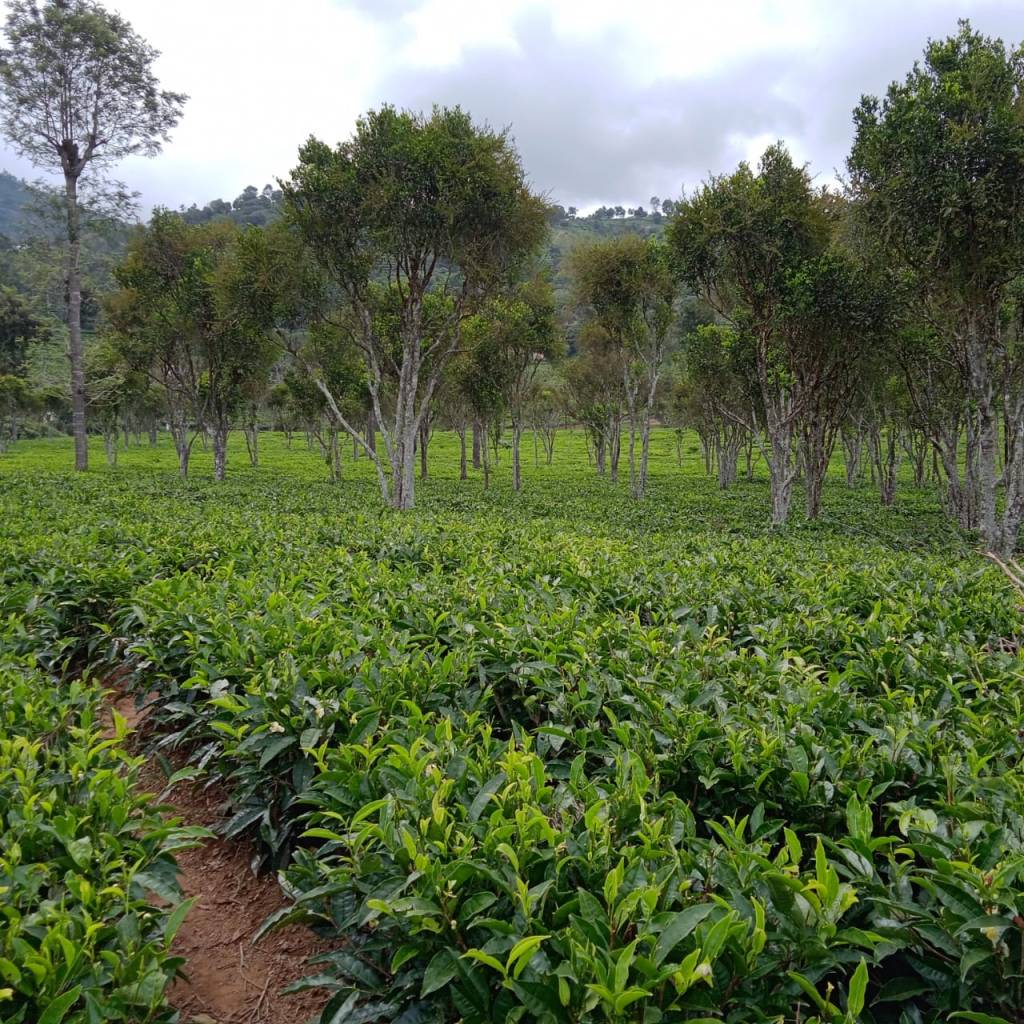
A tea estate
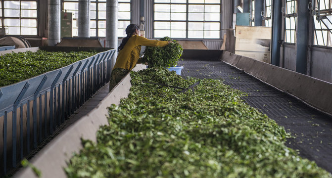

At the tea factory and enjoying tea at Keventers
That just about sums up our trip to Darjeeling. With lot more to cover in NorthEast India and hoping to come back for that, we bid goodbye to Darjeeling.
See you next week. Till then do subscribe, comment and give your feedback….