
Meenakshi Amman as SHE is popularly known , was a princess who emerged out of the sacred fire, as a young child during the prayers by her parents to beget a child . SHE not only ruled over her father’s kingdom subsequently, but also captured several territories and finally met Lord Shiva at Kailash. So goes the legend of the Goddess, who presides over the temple city of Madurai in Tamil Nadu in south India. The association of Lord Vishnu in several legends associated with this Shaivite temple is one of its specialties. Lord Vishnu is considered to be the brother of Goddess Meenakshi.
History
The temple was built by Kulashekara Pandyan, a Pandya king during the 1st century and is believed to have been the central structure of the city ; which it continues to be even today. Plundered and looted by invaders like Malik Kafur in the 14th century, it was reduced to ruins and subsequently rebuilt by the Nayakars in the 16th and 17th centuries. The temple as we know it today is mainly the result of these revival efforts.
Structure
The temple occupies a large rectangular area of around 14 acres in central Madurai and is enclosed within huge walls . The entire structure is built like a mandala following the principles of loci and symmetry. Roads in the city radiate from the temple complex and ring roads form concentric circles around .
The presiding deities of the temple are Goddess Meenakshi ( Parvati) and Lord Sundareswarar (Lord Shiva) whose shrines lie parallelly in the innermost courtyard. Shrines to several Hindu Gods are also present .
The Gopurams
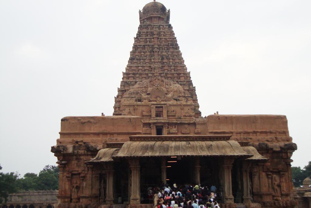
The most striking feature of the temple ; like most temples in south India ; are its towering majestic gopurams. A total of 14 gopurams decorate this complex with the tallest one rising to a height of 170 feet. This gopuram is curvilinear in shape .

The curvilinear Gopuram
Each of these gopurams have elaborate sculptures on them and are brightly coloured in various hues. The images on these gopurams are related to Hindu mythology. The outer gopurams are pyramidal ; serving as landmarks ; while the inner ones are smaller and adorn the gateways of the various shrines.

The pyramidal Gopuram

The multicoloured sculptures
The Shrines
Two east facing shrines house the presiding deities Goddess Meenakshi and Lord Sundareswarar. Goddess Meenakshi is depicted as a green stone image with a lotus in her hand on which sits a parrot. A metal copy of this image is kept outside the sanctum and is used for festive processions. The shrine of Lord Sundarewarar has a stone linga guarded by a hooded cobra. A metallic representation of the Lord in the form of feet embossed on a stool is kept near the sanctum .This is ceremoniously carried to the shrine of the Goddess every evening, so that both of them can symbolically spend the night together. In the morning the symbolic stool is brought back to HIS sanctum.
Several shrines dedicated to Ganesha, Murugan, Saraswati, Mahalakshmi and other Hindu Gods are located elsewhere in the complex.
The Porthamarai Kulam (Pond with golden lotus)
A large pond with a golden lotus in the center is used for pilgrims to bathe. The walls of the tank are painted in red stripes typically seen on temple walls of south India.

The Golden Lotus Pond
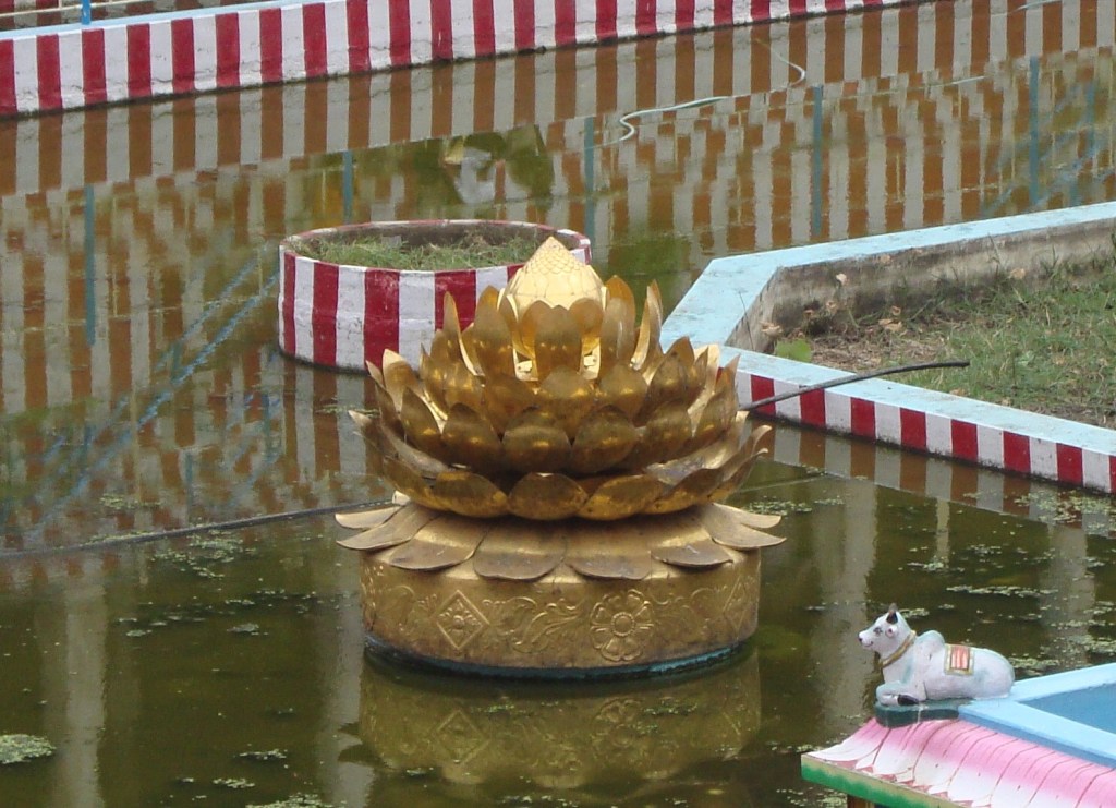
The Golden Lotus
Halls
Though there are multiple halls or Mantapams, the Thousand Pillar hall is the most famous. It contains 985 pillars , each of which has a sculpture on them.
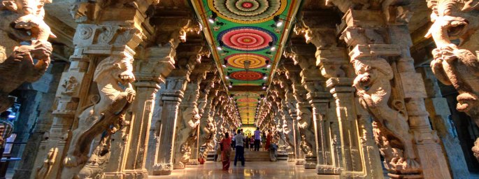
The Thousand pillar hall

The elaborate sculptures on the pillars

The artistic ceiling
Just outside this is are the Musical pillars where each pillar produces a different note when struck.
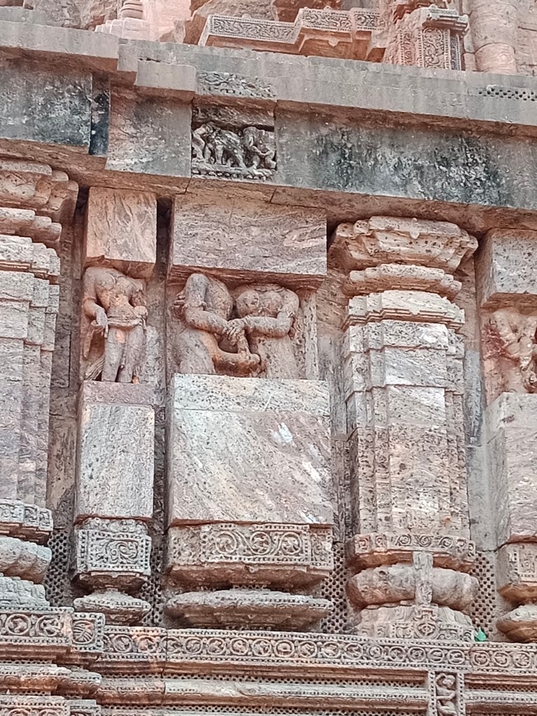
The threshold of the temple has an interesting sculpture which caught my attention. Here it is…

The divine marriage depicted in sculpture…
Cultural Significance.
The presiding deities being Lord Sundareswarar and Goddess Meenakshi, it is a Shaivite shrine. But Lord Vishnu is considered her brother and this temple brings both these Hindu sects together. In addition; since Goddess Meenakshi represents Shakti or power, this temple thus puts together the three Hindu sects of Shaivism, Vaishnavism and Shaktism.
Festivals
The temple hosts multiple festivals throughout the year , but the most popular one is the “Meenakshi Thirukalyanam”, a festival in the month Chithirai (April) symbolising the marriage of Meenakshi and Sundareswarar. This festival lasts for 12 days and there is a procession where the divine couple are taken around in a chariot pulled by devotees. Vishnu symbolically gives his sister in marriage.

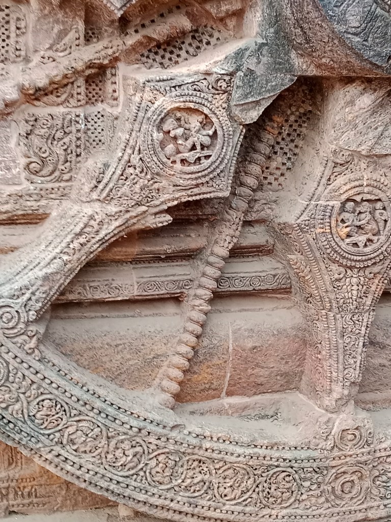
The decorated chariot
Navaratri festival is another important festival celebrated here with the temple complex illuminated with hundreds of lights and a large Golu (doll arrangement) in the hall.
It has been my attempt to bring out the salient features of this great temple. It can be described much more; but that may get into too much detail. Hence, I end with the statement…
The Divine can never be totally described …it has to be experienced.
Till I am back with some more interesting destinations, do give your feedback and comments…