
This quaint little city by the Resurrection Bay in southern Alaska , acts as the launching pad for many an Alaskan adventure. With a population of less than 3000 people, and an area of just 56 sq kms, it is small and has a real old world charm about it.
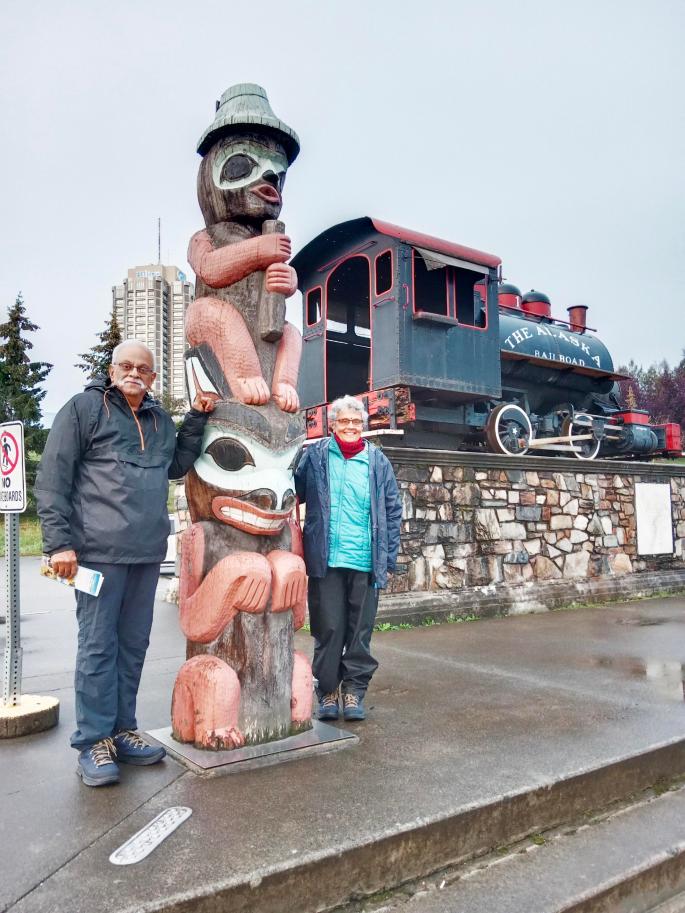
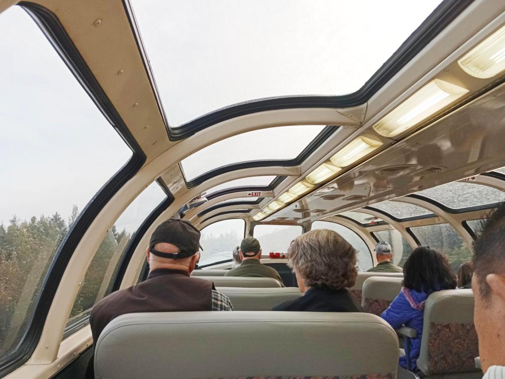
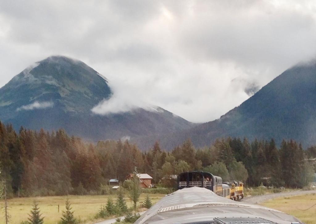
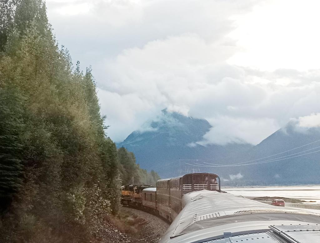
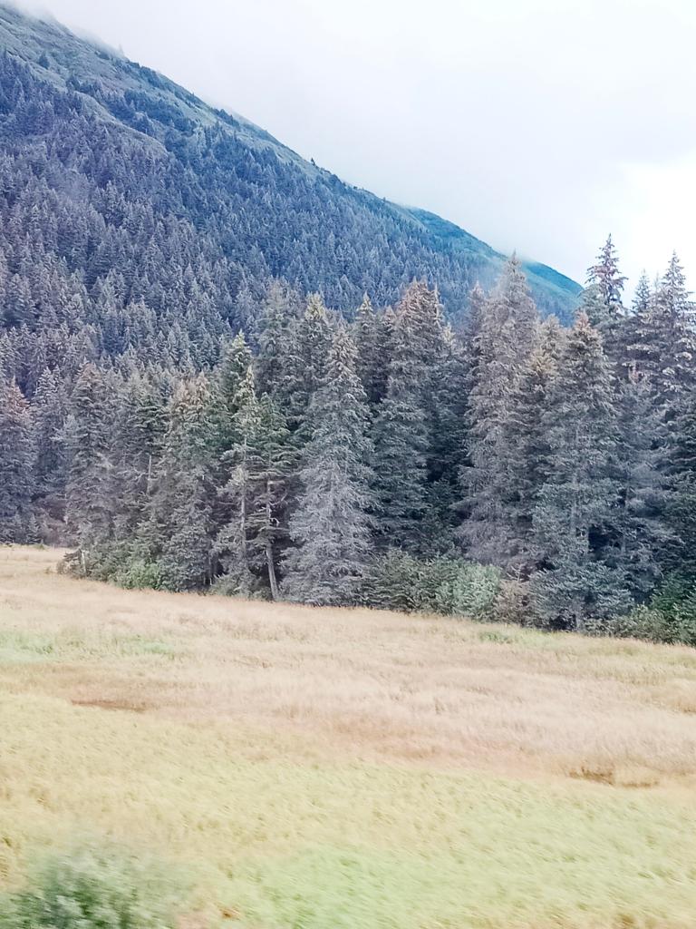
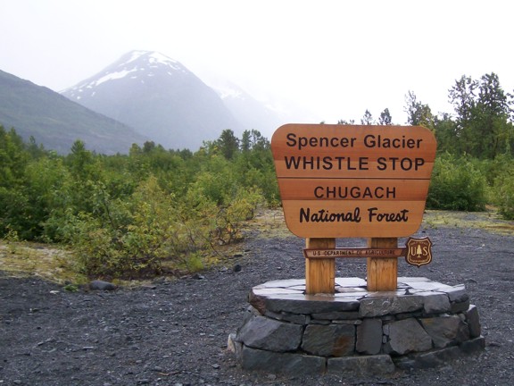
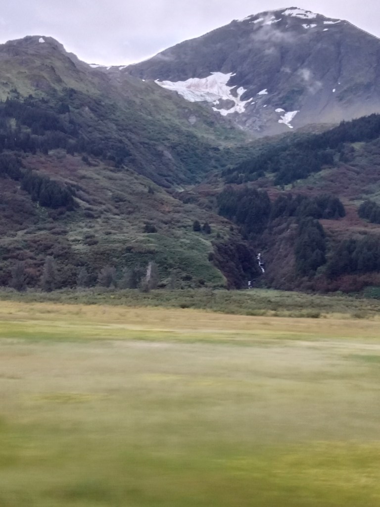
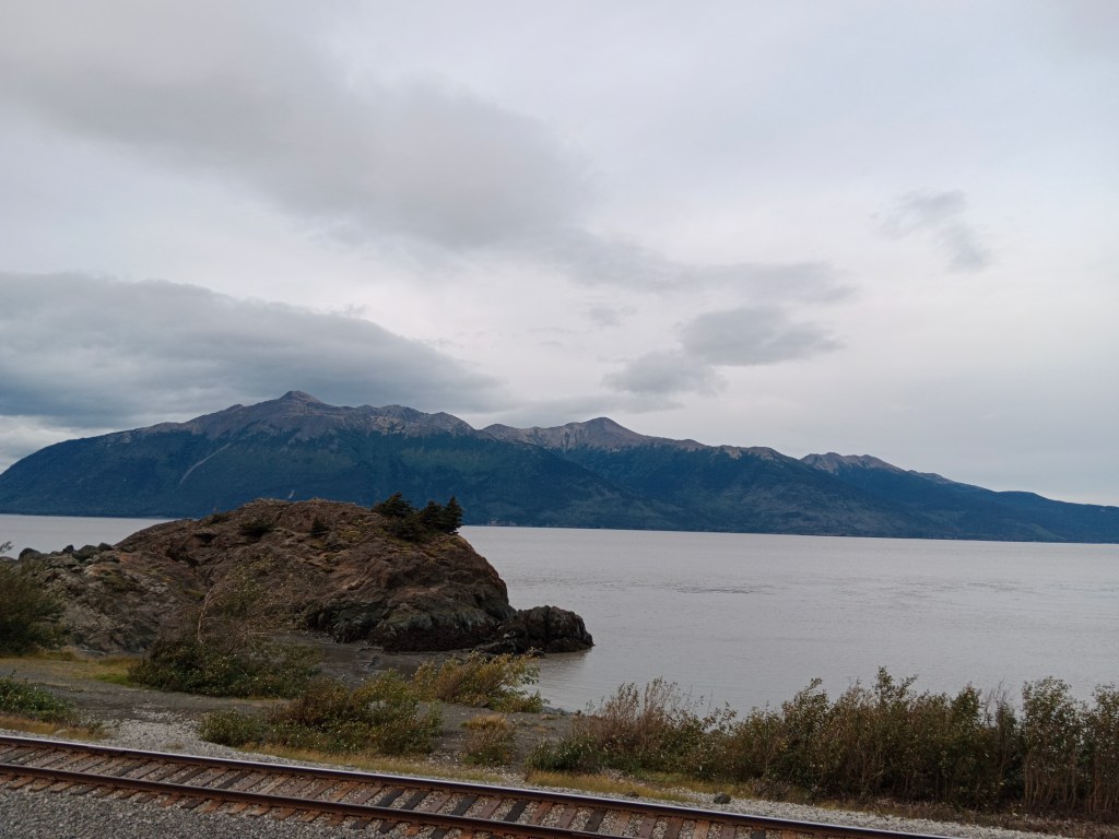
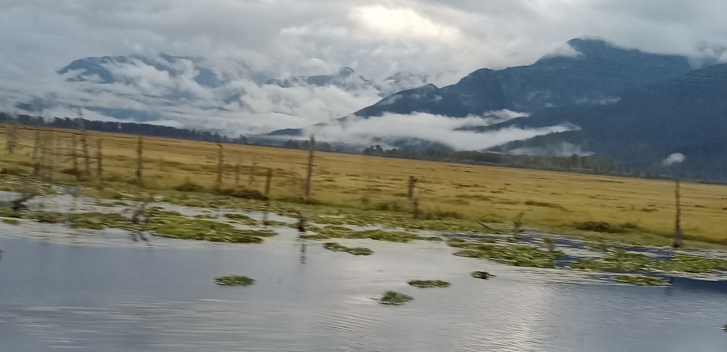
Pronounced “Suvard” by the locals, it took us few interactions before we could get it right!! The epic train journey on the Coastal Classic train from Anchorage along some beautiful landscapes brought us to this city.

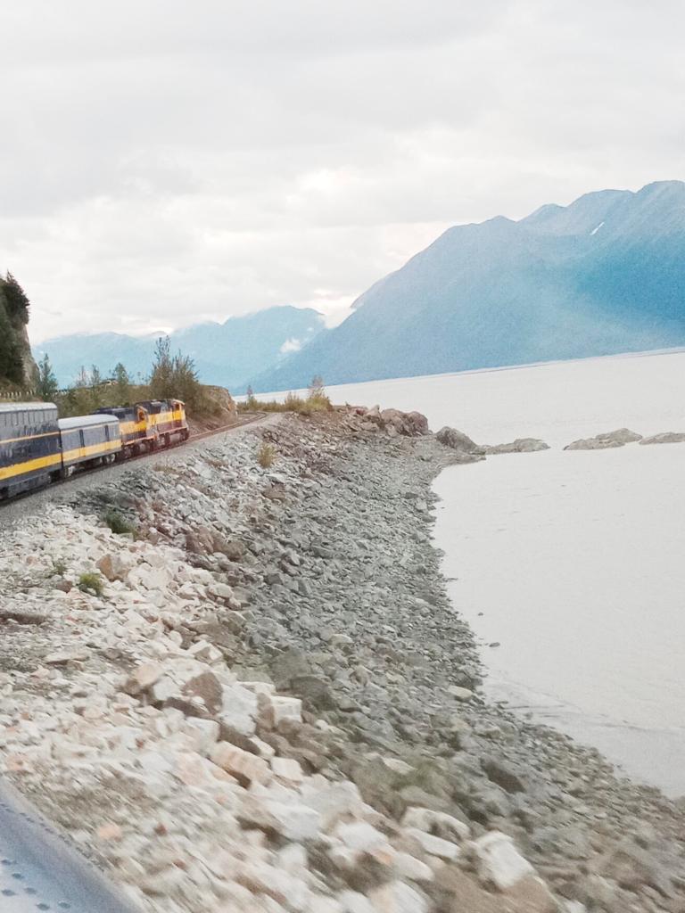
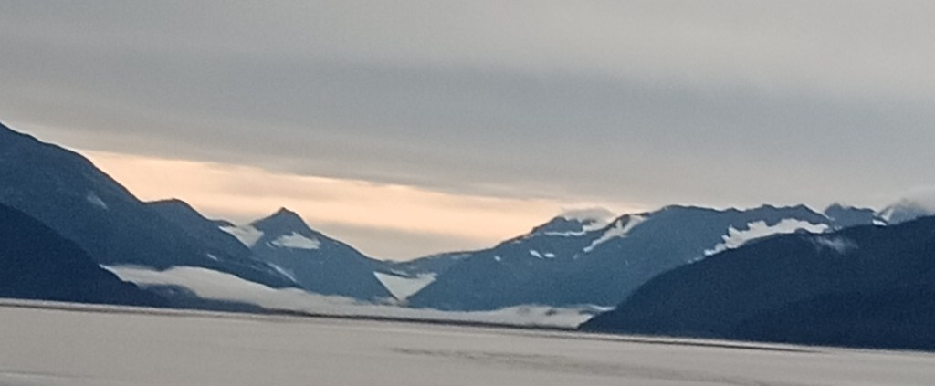
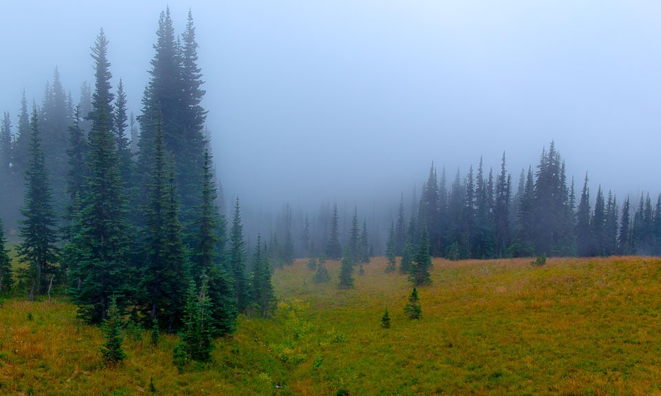
The Coastal Classic train near Bartlett glacier enroute Seward
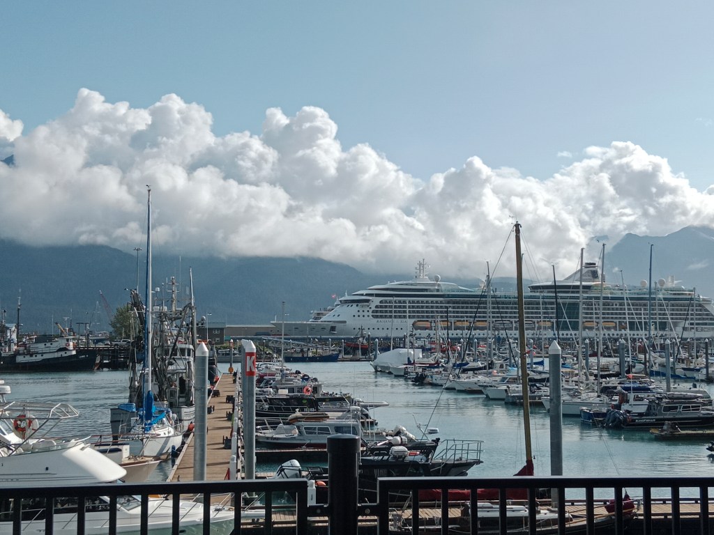
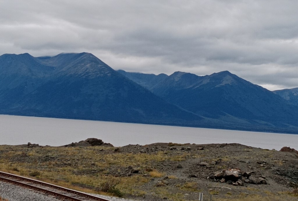
The place is so small that as you arrive at the train station, you can see most of harbour and marina which comprise it’s main landscape. The Resurrection Bay and the Kenai mountains provide the picturesque background.
“Harbor 360” , the main hotel here, located along the marina is just a few metres walk from the train station. We were also put up here as all our activities started from here.
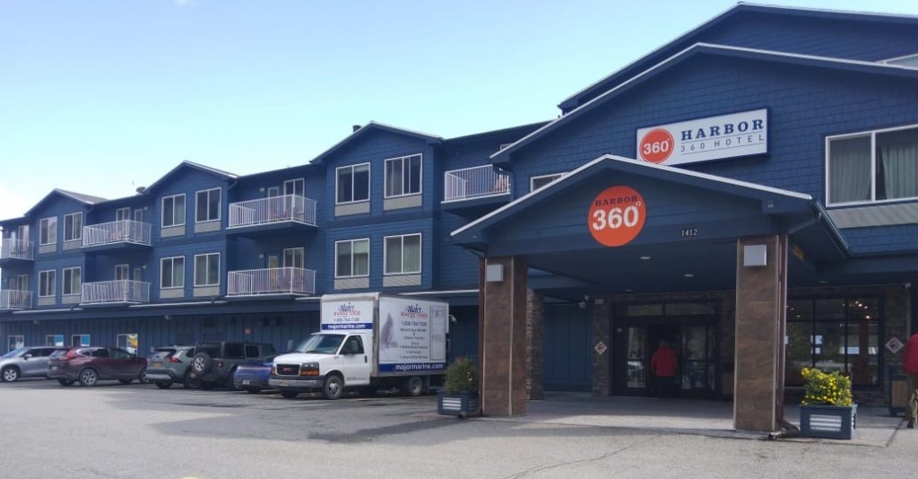
Harbor 360 hotel
Being the Southern terminal of the Alaska Railroad and having good road connectivity with Anchorage and other parts of the Kenai Peninsula, Seward is the major cruise ship port that hosts many cruise lines like Norwegian, Royal Caribbean and Celebrity cruises.

Views of the cruise terminal and marina from the hotel
The economy is largely driven by commercial fishing and seasonal tourism. Most tourist activities take place in summer between mid May and mid September. Many of the hotels , restaurants and such facilities function only during these months. Infact when we were there in early September, some of the small establishments and street food outlets had closed down.
Cruise Tourism
Cruise liners of various companies regularly sail from Seward to various destinations in Alaska and finally to Vancouver.
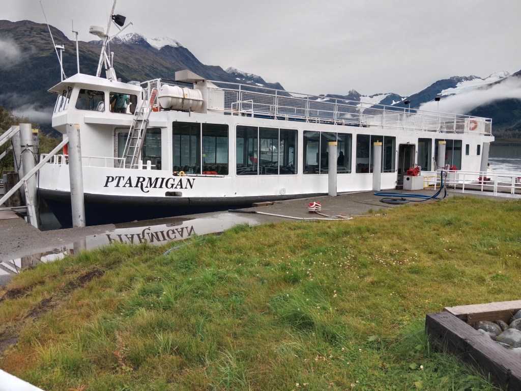
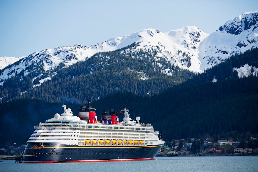
One such cruise ship” Radiance of the Seas “was stuck at Sewad for a couple of days due to some technical issues and the scheduled sailing was cancelled. This threw the plans of many passengers out of gear and we happened to see them during our trip. In fact the ship seen in the picture below is the stuck cruiseliner. This incident was a hot topic there during our visit with many upset passengers having to reschedule their plans.
The cruise company did compensate the affected people but there were lot of logistic issues to be tackled.
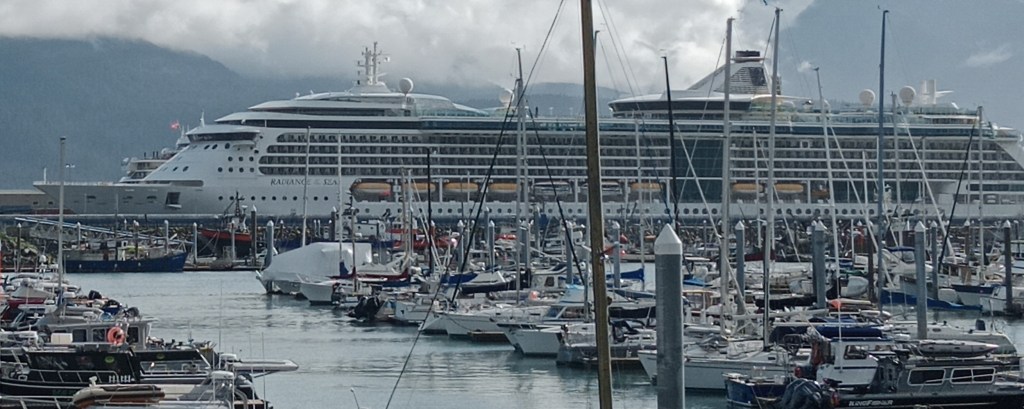
The cruise ship that got stuck
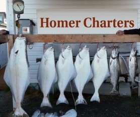
Fishing Charters
Alaska has a long coastline and provides endless opportunities for recreational fishing. Special fishing trips and charters are available. Seward is one of the main fishing destinations in Alaska. Many tourists enjoy the fishing and then carry the catch with them home. Many locations offer facilities for storing fish and shipping them to the required destinations .
Many of the fishermen here are of Scandinavian origin and Seward is one of the largest commercial fishery ports of the United States.


The display board at Seward fishing harbour and the storage containers
Local shops sell regular fishing equipment and we find lot of shops selling specialised fishing equipment too.

Specialised fishing equipment for sale
We also noticed a lot of people fishing at the Resurrection bay with camping vans parked at the camp site.

Campground with recreational fishing
Mural Capital of Alaska
Seward is often called the Mural capital of Alaska . Some of the murals we saw…
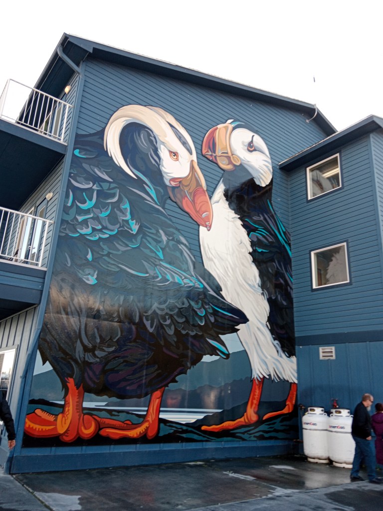
The Puffin Mural on one wall of Hotel Harbor 360


Some more murals…
Good Friday 1964
March 27th 1964 saw one of the powerful earthquakes ever recorded in the world. With a 9.2 measure on richter scale it left a trail of destruction and Seward too was affected by this earthquake and the tsunami that it triggered.
An earthquake memorial at the main street in Seward….

The Earthquake memorial
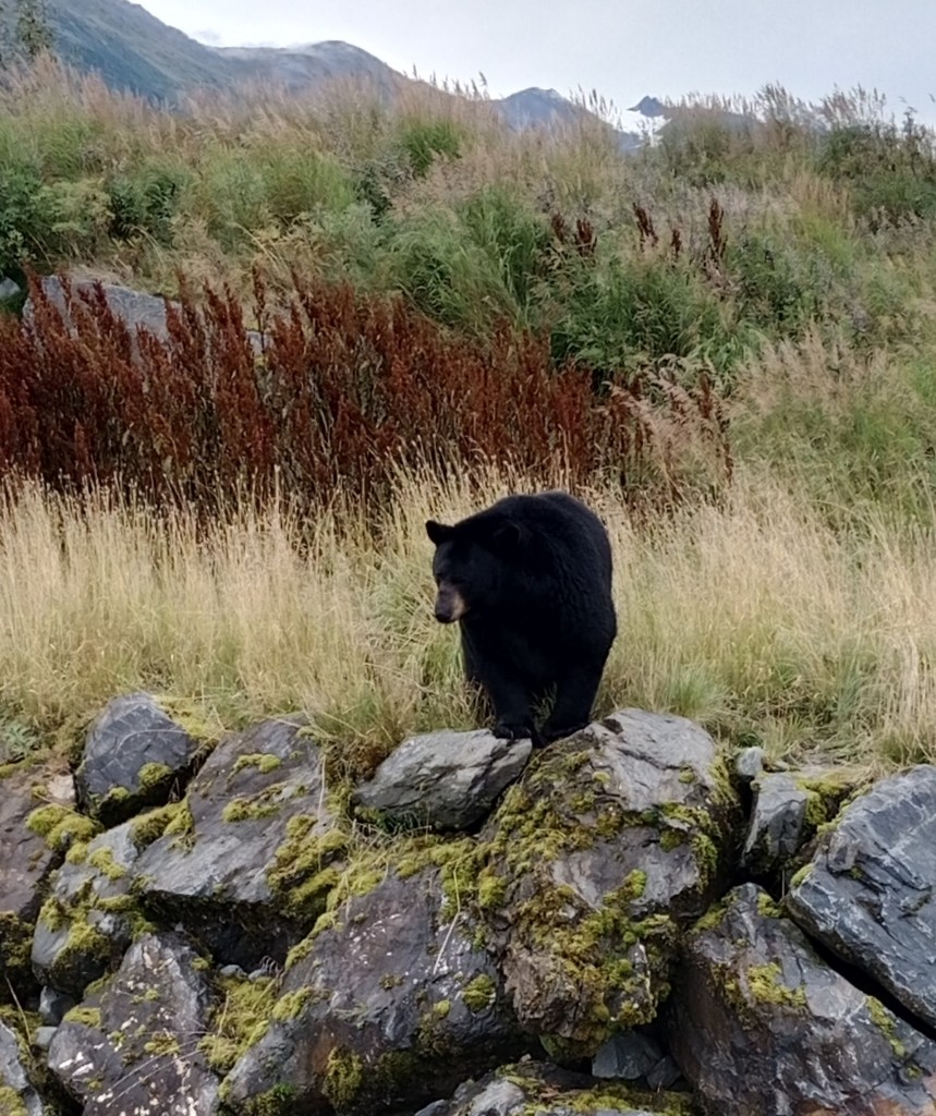
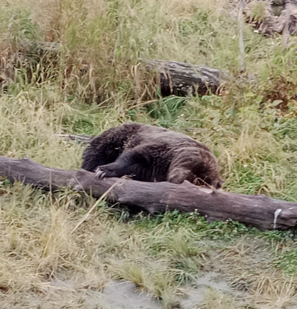
Alaska Sealife Centre
A centre that doubles up as an aquarium, a rehabilitation centre for marine mammals and a reasearch facility, it is one of the main attractions here.
1989 saw a major oil spill along the Alaskan coast from the super tanker Exxon Valdez affecting many miles of the Alaskan coast, killing many birds and marine mammals. This incident triggered the thought of the need for a centre for reasearch on the Alaskan sealife. Settlement funds from this oil spill has partly funded this facility and now this centre rehabilitates injured and orphaned marine mammals of Alaska.
Some pictures…
Alaska Sealife Centre

Puffin and Sea Anemone

Aquarium

Otter pool…
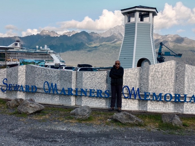
As we walked along the Seward marina, we came across the Mariner’s memorial.
Mariner’s Memorial
Being a marine town, Seward has depended on the sea for survival . This has also resulted in tragedies over time. As a tribute to the mariners who were lost at sea, a memorial was built at the breakwater at Resurrection Bay. The focal point here is a light house surrounded by a small landscaped garden. Names of the mariners lost at sea are also displayed inside on plaques.

View of Resurrection Bay from the Mariner’s memorial
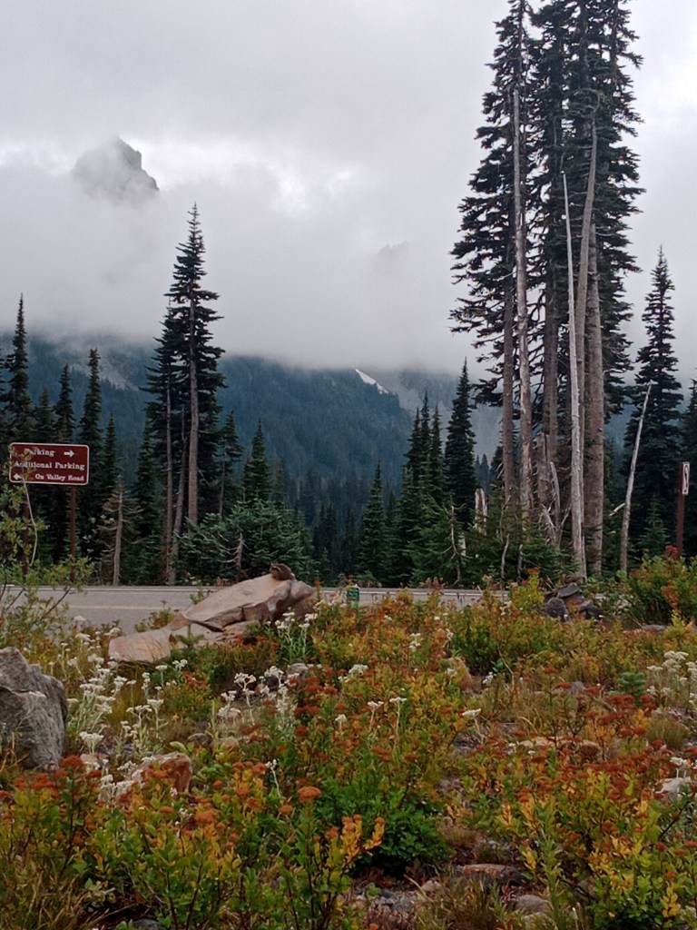
We returned to Anchorage from Seward by road, along the Seward Highway, to get a different perspective; since we had done the up journey by train .The drive along the Turnagain Arm and various view points on the seward highway added to the fun. Since those are covered in a different episode, I am not elaborating here.
The bookings for this were all done online from India months before the trip.
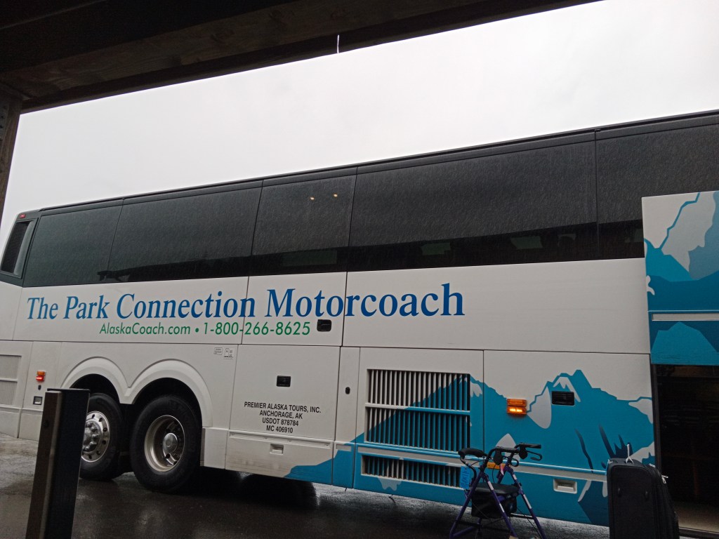
The Park Connection Motorcoach that runs between Seward and Anchorage
As I mentioned in the beginning , Seward was a small place but the activities that are organised from here are amazing.
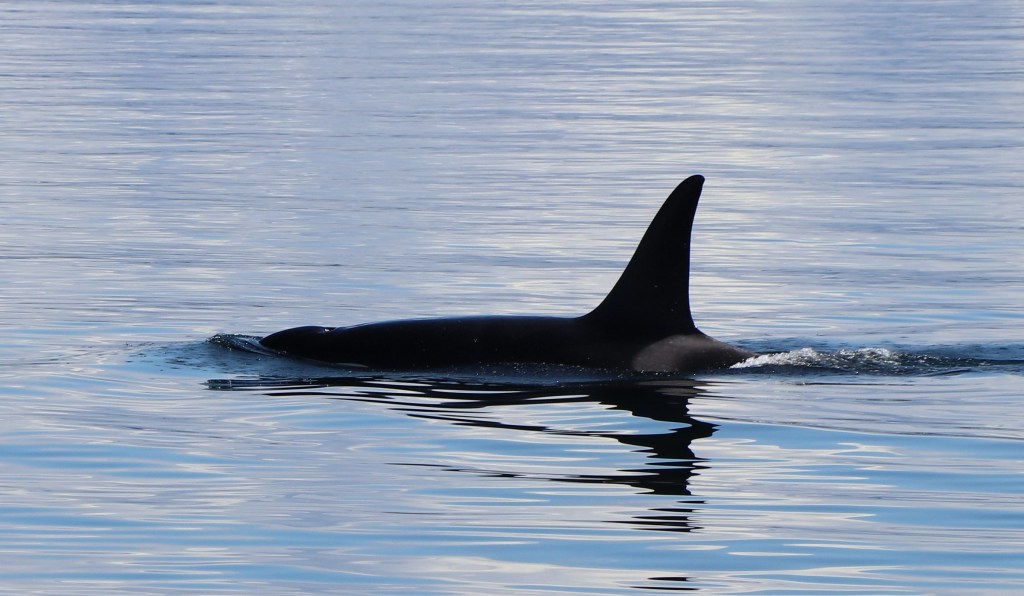
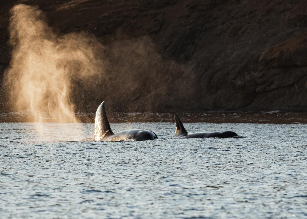
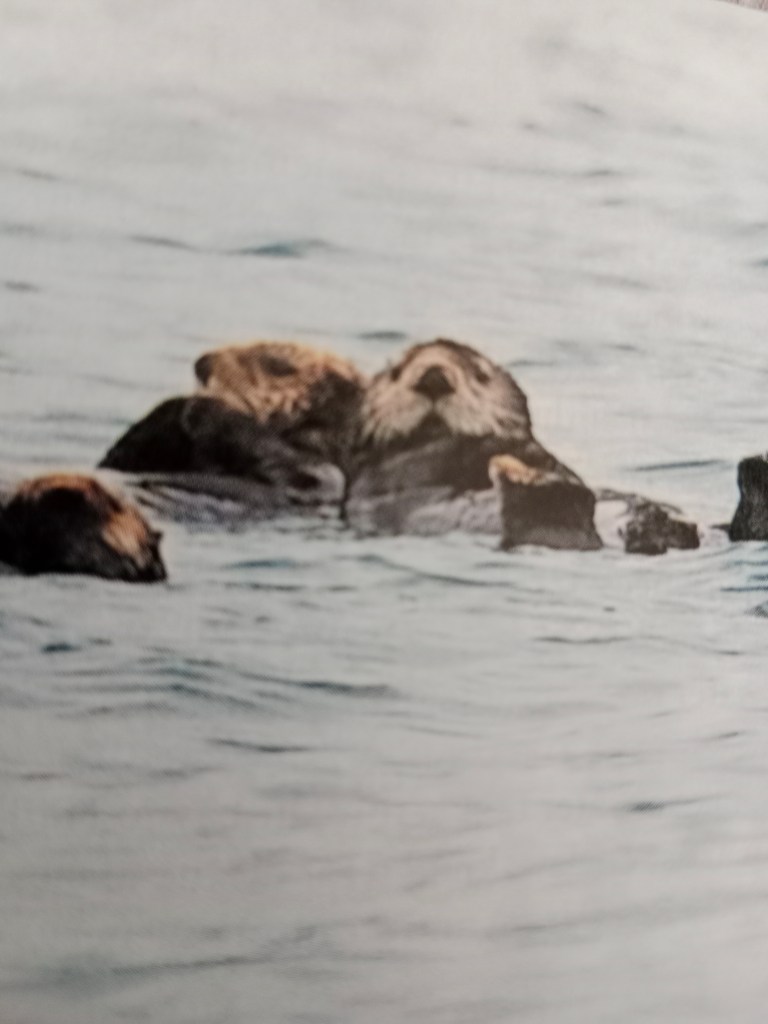
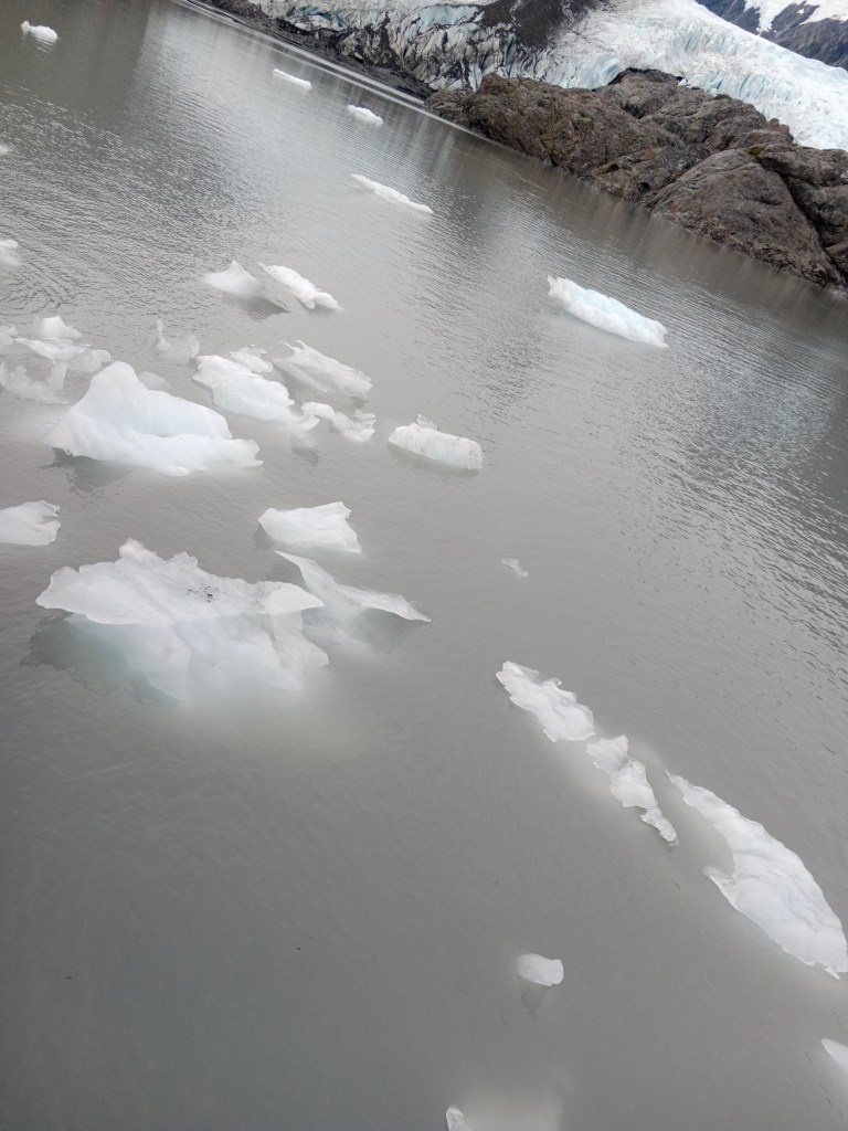
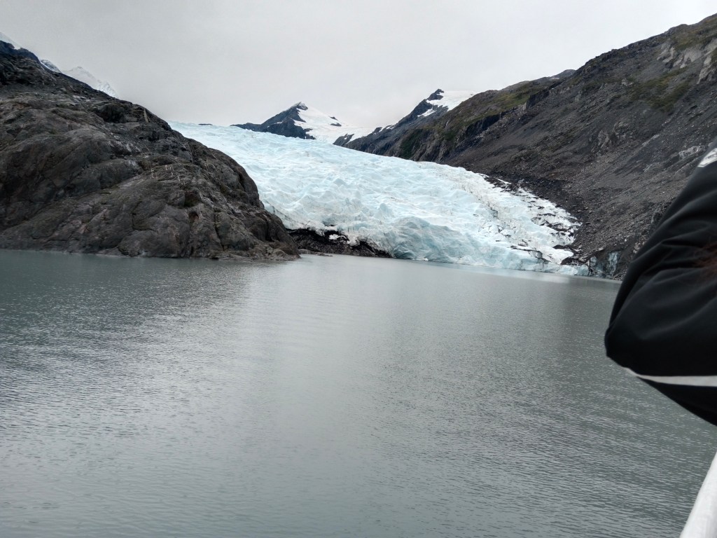
We did the Kenai Fjords Cruise from here. That’s where we went up close to two glaciers and actually saw them calving. That was really a lifetime experience.
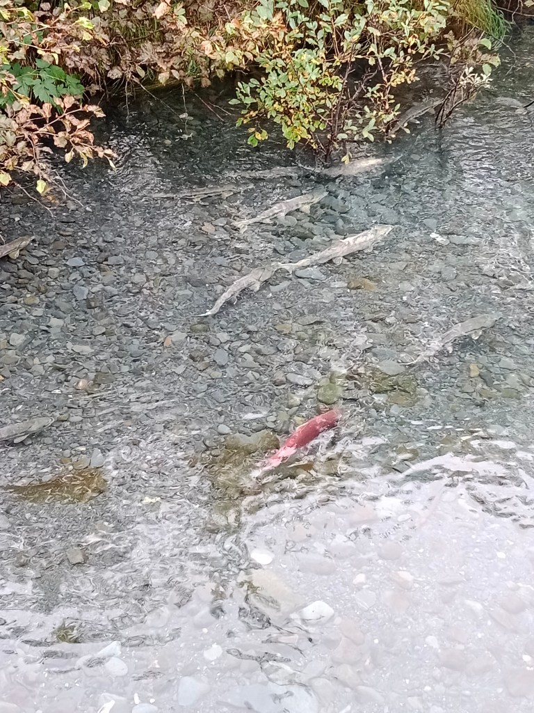
The other thing we did at Seward was rafting the Resurrection river. That too was a great experience as the guide took us to real wilderness areas on the raft.
Both these will come up in the next epoisodes. Till then, let me say goodbye. Do give your valuable feedback and comments.